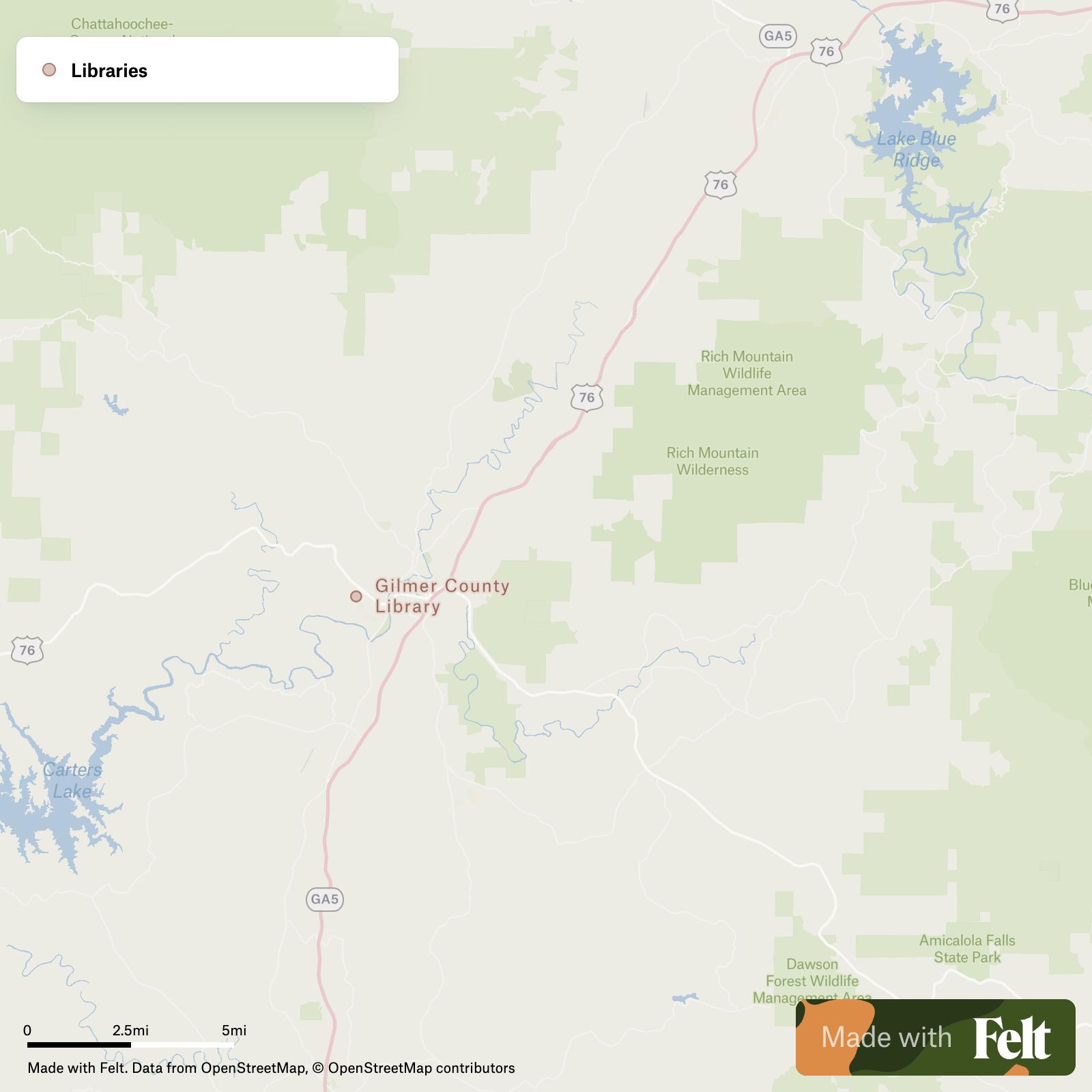
Power plants in Gilmer County, Georgia
This dataset for Gilmer County, Georgia, includes detailed information on two hydroelectric power plants, Carters and Blue Ridge, complete with generation data and capacities.

Make this map yours
Open it in Felt to style, filter, and analyse the data, or export it as a GeoPackage.
Open the map →Customize this map freeAbout the map
Access detailed datasets of power plants in Gilmer County, Georgia, catering specifically to GIS professionals. This page focuses on hydroelectric facilities, exemplified by the Carters and Blue Ridge power plants. Both plants harness hydro power, with Carters featuring a significant capacity of 500 MW and Blue Ridge at 23.5 MW. Historical data, including generation figures from as early as 2013, and ownership details are readily available to enhance your project’s scope and depth.
The Power plants dataset for Gilmer County, Georgia encompasses features such as:
- Carters (Hydro) owned by USCE-Mobile District
- Blue Ridge (Hydro) owned by Tennessee Valley Authority
Upon creation of your Felt account, access your personalized interactive map of Power plants in Gilmer County, Georgia. Subsequently, utilize tools to customize, analyze, and export data in GeoPackage format. You’ll also gain access to our extensive repository of pre-existing GIS data, featuring numerous additional datasets tailored for Gilmer County, Georgia.