Plan the next build. Keep crews in sync.
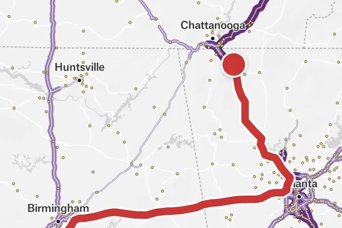
Find gaps in coverage, prioritize expansion, and coordinate installations on one shared map. Felt connects network planners and field crews from the first route plan to the latest install, even when crews work offline.
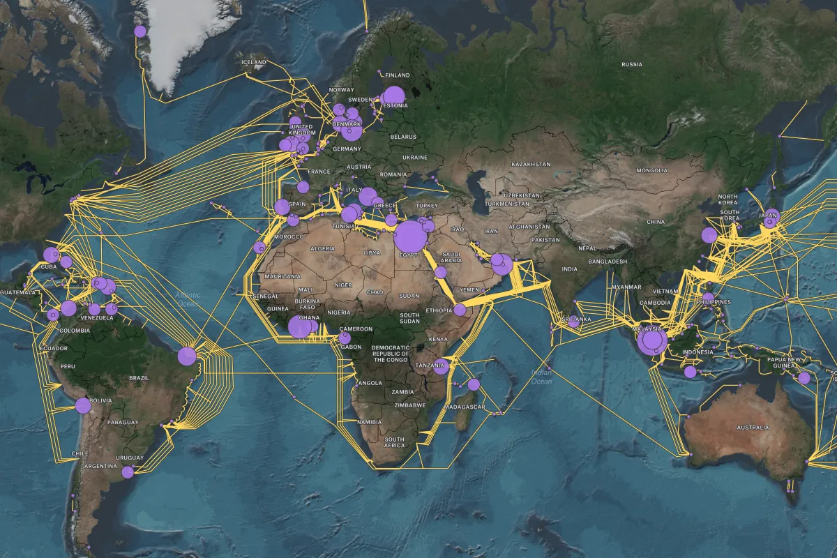
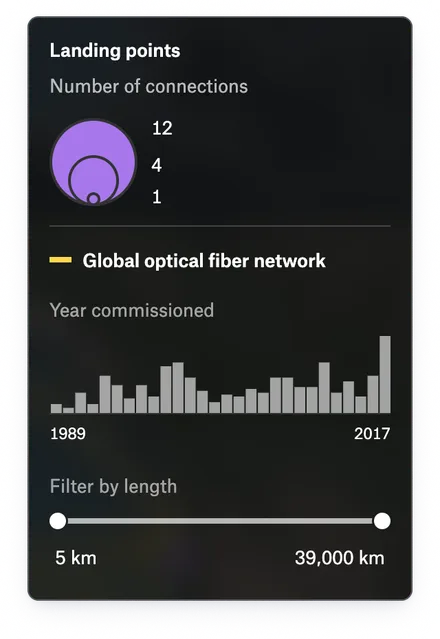






Take network plans from decision to deployment
Give planning, engineering, and field teams a shared view of coverage, demand, and build progress.
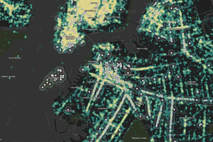
Know where to build next
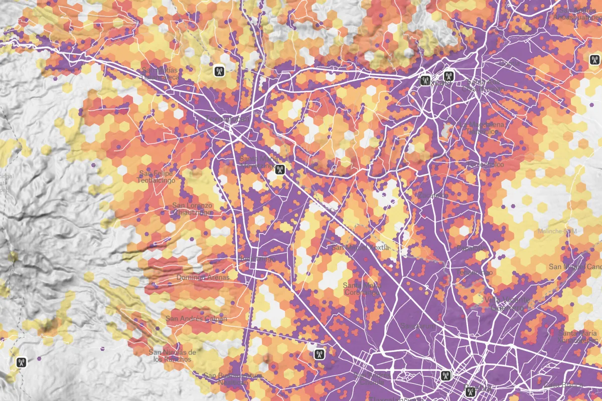
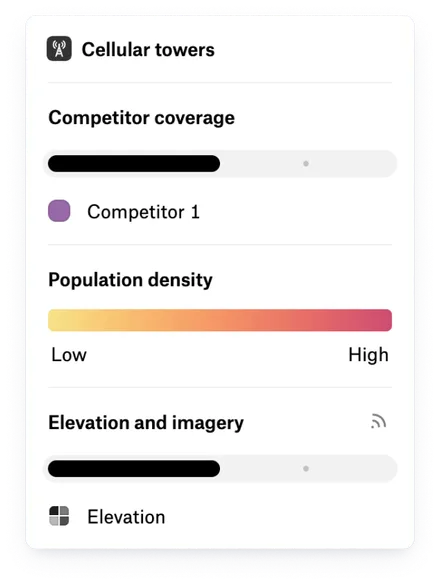
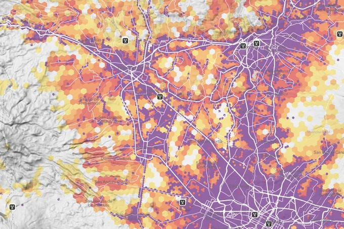
See where demand meets gaps in coverage. Compare infrastructure and customer demand on one map, with H3 aggregation that makes patterns clear across service areas.
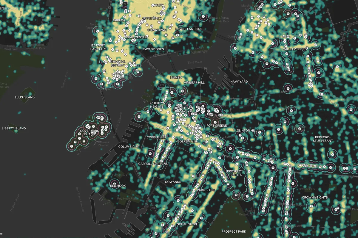
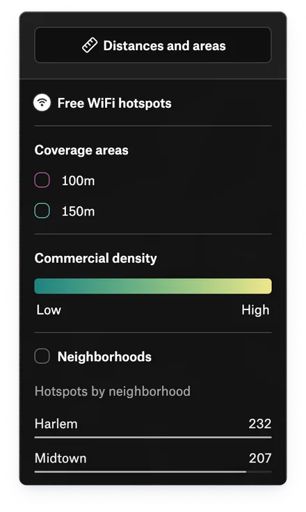
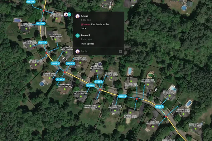
Keep FTTx and tower builds moving
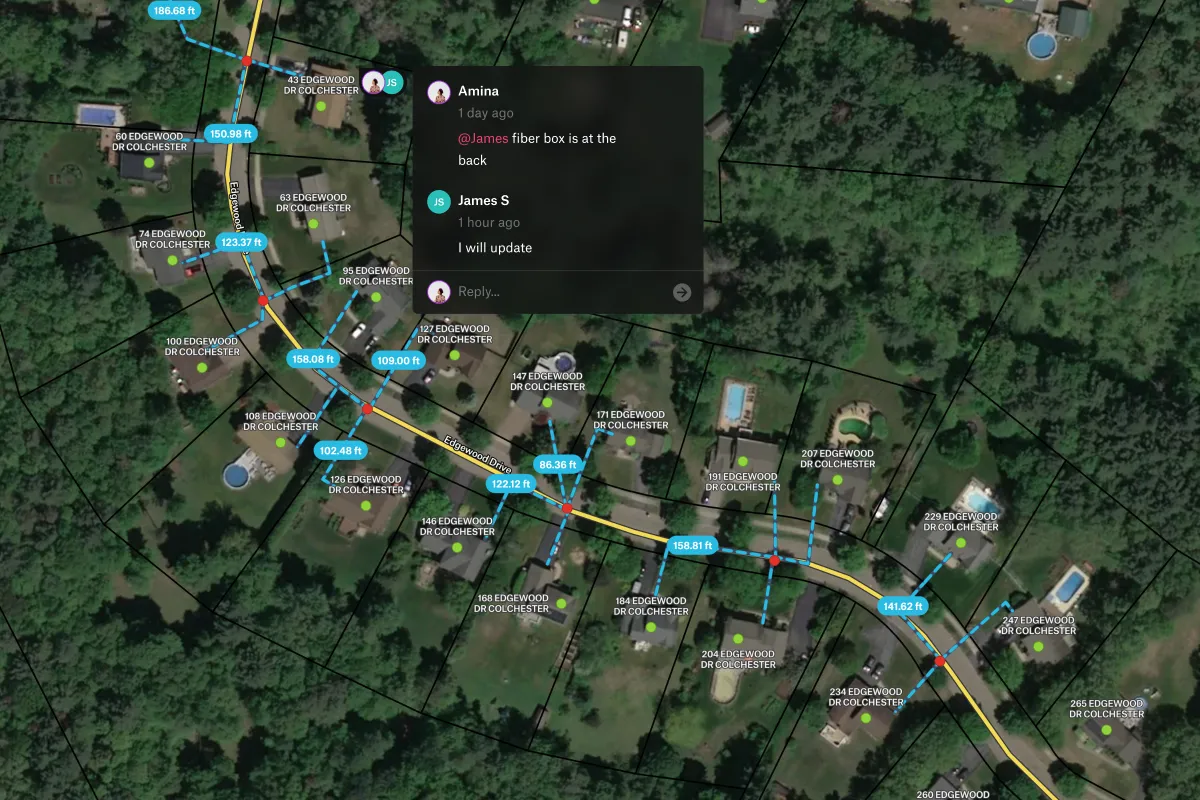
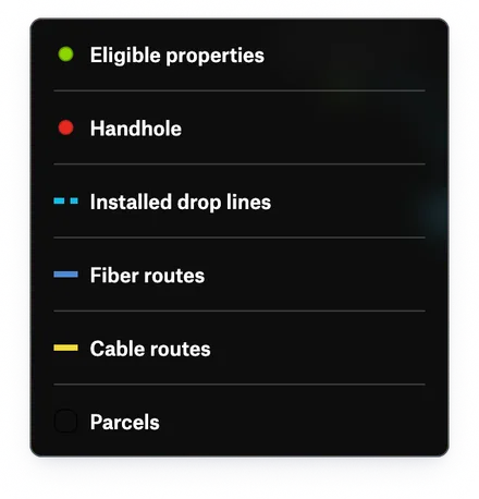
Keep planners and crews working from the same build map. Crews record installs with photos and forms in the Felt Field App, even offline, and updates sync when they reconnect.
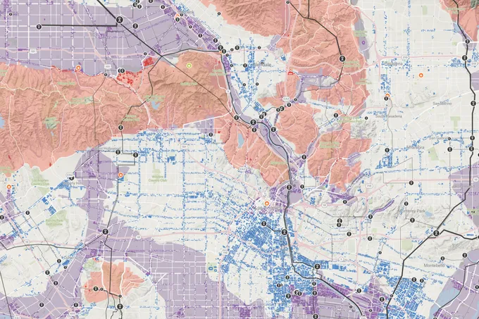
See where the network needs attention
Give planning and engineering teams coverage and demand dashboards they can explore themselves. Connect BigQuery or Postgres / PostGIS for scheduled refreshes that keep reviews grounded in current network data.
Proven results for telecom leaders

The up front investment to build a custom solution that met our performance standards would have been massive.

With Felt and Databricks, our site acquisition team was able to self-serve insights for the first time.

After sharing our Felt dashboard, a client reversed their decision and signed a long-term contract.

Common questions
- 01Can field crews use Felt where there’s no signal?
Yes. Crews take a map area offline in the Felt Field App and record installs with forms and photos where there’s no signal. Changes sync to the shared map when they reconnect.
- 02How many features can a Felt map handle?
Felt has no cap on features per layer or layers per map, so you can bring addresses, poles, towers, and routes into one view. Connect BigQuery or Postgres / PostGIS to work with large network datasets directly.
- 03Can Felt connect to our Postgres / PostGIS database?
Yes. Connect tables, views, or SQL queries through a read-only connection, with support for PostGIS geometry and geography columns. Scheduled refreshes keep your network maps current as the source data changes.
- 04Does Felt support H3 hexagons?
Yes. Group addresses, demand, or coverage points into H3 hexagons colored by count, sum, or average, at the resolution you choose. Felt also maps a column of H3 cell IDs directly.
Bring your data, see it on the map
Connect a database or drop in a file and see your data live on a map in minutes.