Felt's powerful mapping platform makes it easy to build interactive maps, apps, and dashboards with exceptional speed and simplicity, letting your local government and public sector teams work with geospatial data, GIS data, and spatial data to support infrastructure, data visualization, and disaster planning, so teams can focus on impact rather than implementation.


Felt’s GIS uses geospatial data, data visualization, and interactive maps to help local governments manage infrastructure and much more.

Make your source-of-truth accessible to those who rely on it daily.


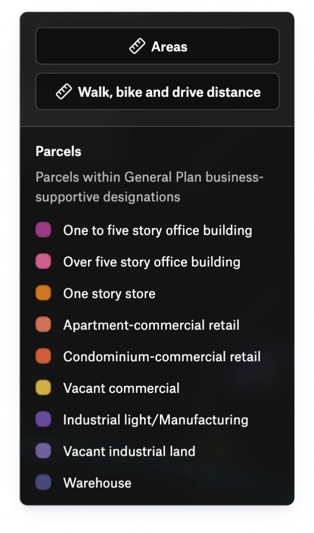
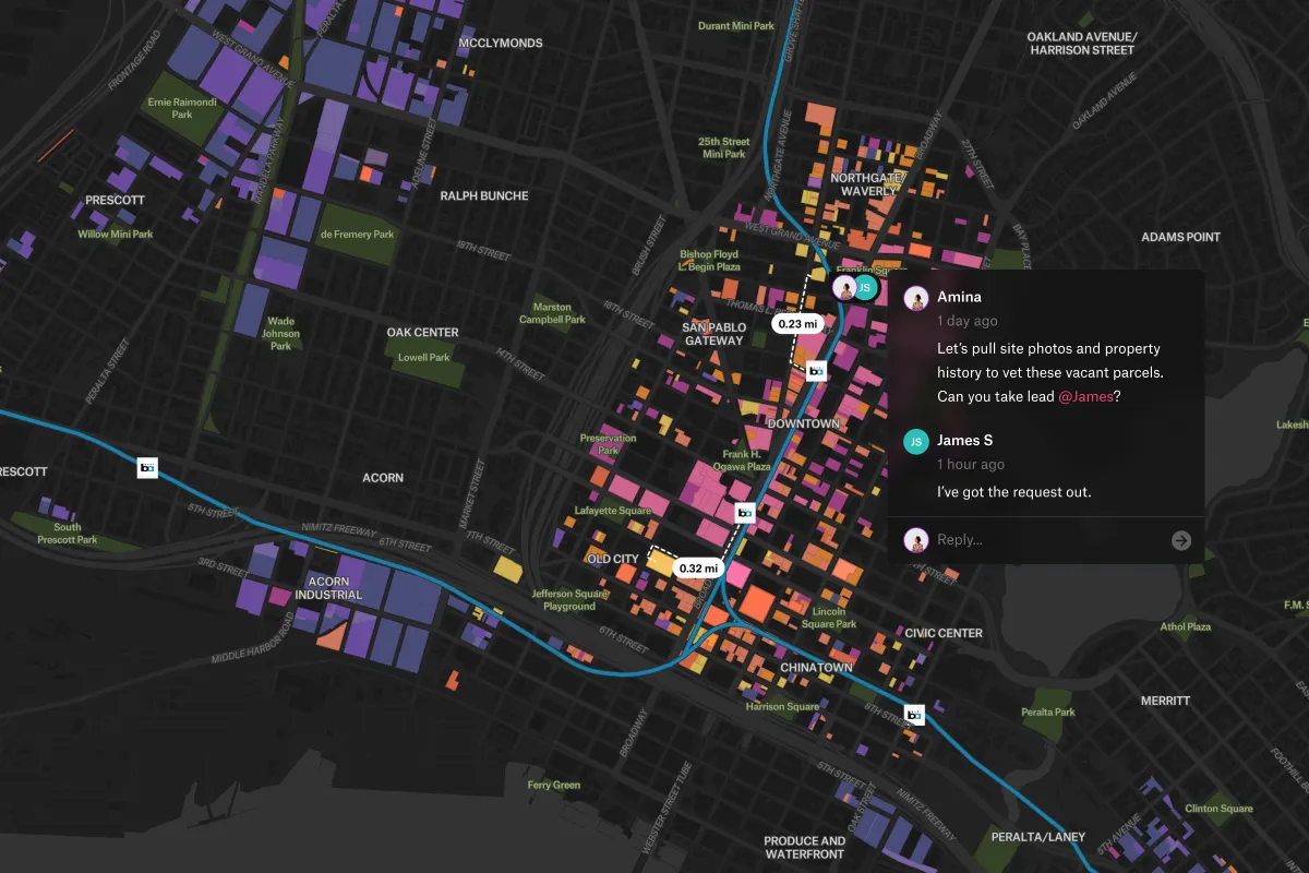
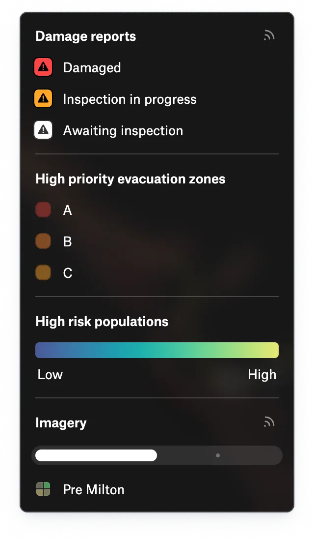
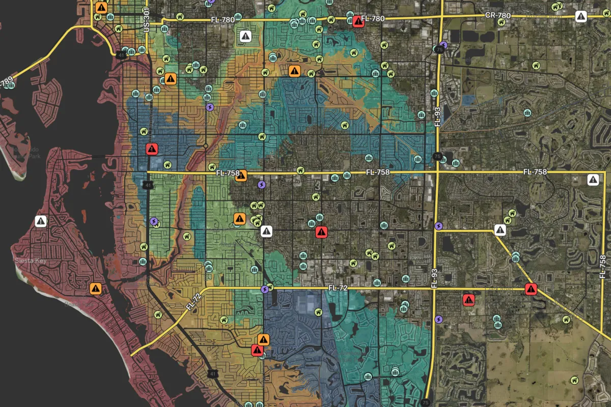
Governments use GIS data to plan and manage infrastructure and land use, coordinate disaster response and public safety with interactive maps, and monitor environmental and climate impacts through advanced data visualization.
GIS benefits municipalities by transforming spatial data into interactive maps and data visualization that help local governments manage infrastructure, improve urban planning and zoning, coordinate disaster response, support public works, and engage communities with transparent, accessible geographic information systems.
Felt is a cloud-native geographic information system designed for local government collaboration, enabling teams to visualize GIS data, manage infrastructure, and share public-facing maps for planning, public works departments, and disaster coordination in one fast, intuitive platform.