37° 48' 15.7068'' N, 122° 16' 15.9996'' W
cloud-native gis has arrived
37° 48' 15.7068'' N, 122° 16' 15.9996'' W
cloud-native gis has arrived
37° 48' 15.7068'' N, 122° 16' 15.9996'' W
cloud-native gis has arrived
37° 48' 15.7068'' N, 122° 16' 15.9996'' W
cloud-native gis has arrived
37° 48' 15.7068'' N, 122° 16' 15.9996'' W
cloud-native gis has arrived
37° 48' 15.7068'' N, 122° 16' 15.9996'' W
cloud-native gis has arrived
37° 48' 15.7068'' N, 122° 16' 15.9996'' W
cloud-native gis has arrived
37° 48' 15.7068'' N, 122° 16' 15.9996'' W
cloud-native gis has arrived
37° 48' 15.7068'' N, 122° 16' 15.9996'' W
cloud-native gis has arrived
37° 48' 15.7068'' N, 122° 16' 15.9996'' W
cloud-native gis has arrived
Introducing Felt AI, your in-house spatial engineer Learn more
Island-like shape.
Raster infrastructure in 1-click
Transform your raster infrastructure experience. Stream, index, and analyze directly from Amazon S3, Google Cloud, or Microsoft Azure buckets.

Trusted by industry leaders

AWS, GCS, and Azure cloud connections made simple

Connect your buckets for an immediate indexed spatial catalog.

  • Secure authentication
  • Easily query by regex metadata
  • Zero infrastructure overhead

Integrate your STAC seamlessly

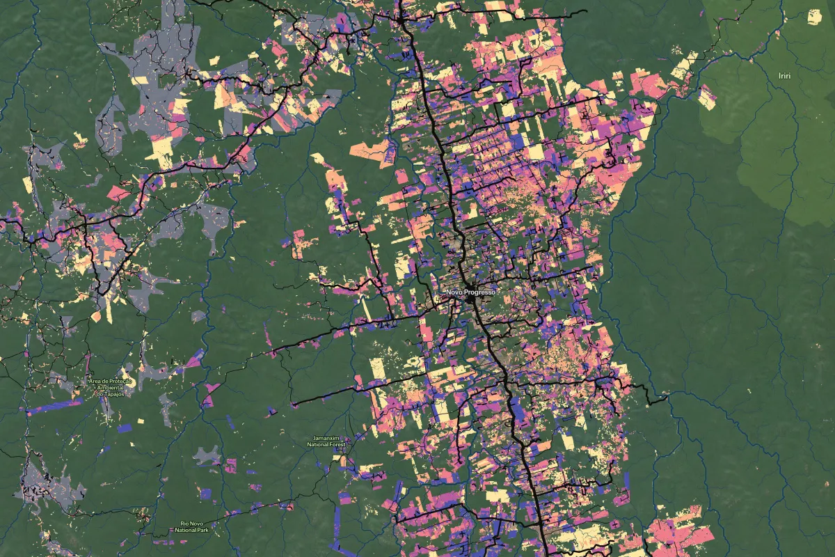
Felt enhances your STAC experience, bridging the gap between data discovery and visualization.

  • Browse your entire catalog by location, date, and metadata
  • Filter collections by any criteria
  • Preview and select assets

Stream Cloud-Optimized GeoTIFFs directly to the browser

Felt's raster rendering engine connects to externally hosted COGs, allowing you to efficiently stream directly to the browser.

  • Connect without downloading or duplicating
  • Instantly render gigabyte-scale datasets
  • Collaborate on projects instantly

Discover, visualize & share in one workflow

Connect your sources and immediately leverage the raster styling & sharing options from the core platform.

  • Securely sync buckets & catalogs
  • Easily query indexed sources
  • Analyze and share results with a single click
Book a demo
Start free trial
“The up front investment to build a custom solution that met our performance standards would have been massive.”
"We eliminated a year of custom development and maintenance work."
“Once we discovered what we could do with Felt, we implemented it immediately.”

Color range

Easily set a custom color ramp.

categories

Represent classes of data.

hillshade

Apply dynamic hillshading.

raster algebra

NDVI, NDWI and NDMI.

Amazon S3

Connect S3 buckets.

STAC

Enhance your STAC experience.

GCS

Connect Google Cloud Storage.

Raster Formats

.tif, .tiff, .gpkg, .asc, and .xyz.
Raster visualizations
Customer Spotlight
"My favorite maps have always been the ones made in the moment, either out of necessity or on a whim."
— Tim wallace, senior editor of geography, new york times
"My favorite maps have always been the ones made in the moment, either out of necessity or on a whim."
— Tim wallace, senior editor of geography, new york times
Start creating maps today