37° 48' 15.7068'' N, 122° 16' 15.9996'' W
cloud-native gis has arrived
37° 48' 15.7068'' N, 122° 16' 15.9996'' W
cloud-native gis has arrived
37° 48' 15.7068'' N, 122° 16' 15.9996'' W
cloud-native gis has arrived
37° 48' 15.7068'' N, 122° 16' 15.9996'' W
cloud-native gis has arrived
37° 48' 15.7068'' N, 122° 16' 15.9996'' W
cloud-native gis has arrived
37° 48' 15.7068'' N, 122° 16' 15.9996'' W
cloud-native gis has arrived
37° 48' 15.7068'' N, 122° 16' 15.9996'' W
cloud-native gis has arrived
37° 48' 15.7068'' N, 122° 16' 15.9996'' W
cloud-native gis has arrived
37° 48' 15.7068'' N, 122° 16' 15.9996'' W
cloud-native gis has arrived
37° 48' 15.7068'' N, 122° 16' 15.9996'' W
cloud-native gis has arrived
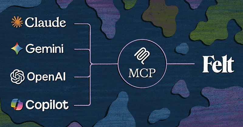
Ask a question. Get a map. The new era of GIS, powered by Felt AI.
Learn more
Log in
SIGN UP
Book Demo
Pricing
Product
WEB GIS
Dashboards
Cloud Sources
App Development
Raster
Felt AI
Field App
Industries
agriculture
Cities and Government
CLIMATE AND NATURAL RESOURCES
Education
Energy and Utilities
engineering and infrastructure
Insurance
Real Estate
Retail
Telecom
Transportation
Spatial Intelligence
Resources
Webinars
Help Center
Dev Docs
Map gallery
Customers
BLOG
QGIS Plugin
PLATFORM
Web GIS
Dashboards
Cloud Sources
App Development
Raster
Felt AI
Field App
Industries
agriculture
Cities and Government
CLIMATE and NATURAL RESOURCES
Education
Energy and Utilities
Engineering and Infrastructure
Insurance
Real Estate
Retail
Spatial Intelligence
Telecom
Transportation
Resources
Customers
Webinars
Help Center
Developer Docs
map Gallery
Blog
QGIS Plugin
PRICING
BOOK A
DEMO
Log in
Sign Up
Featured
Product
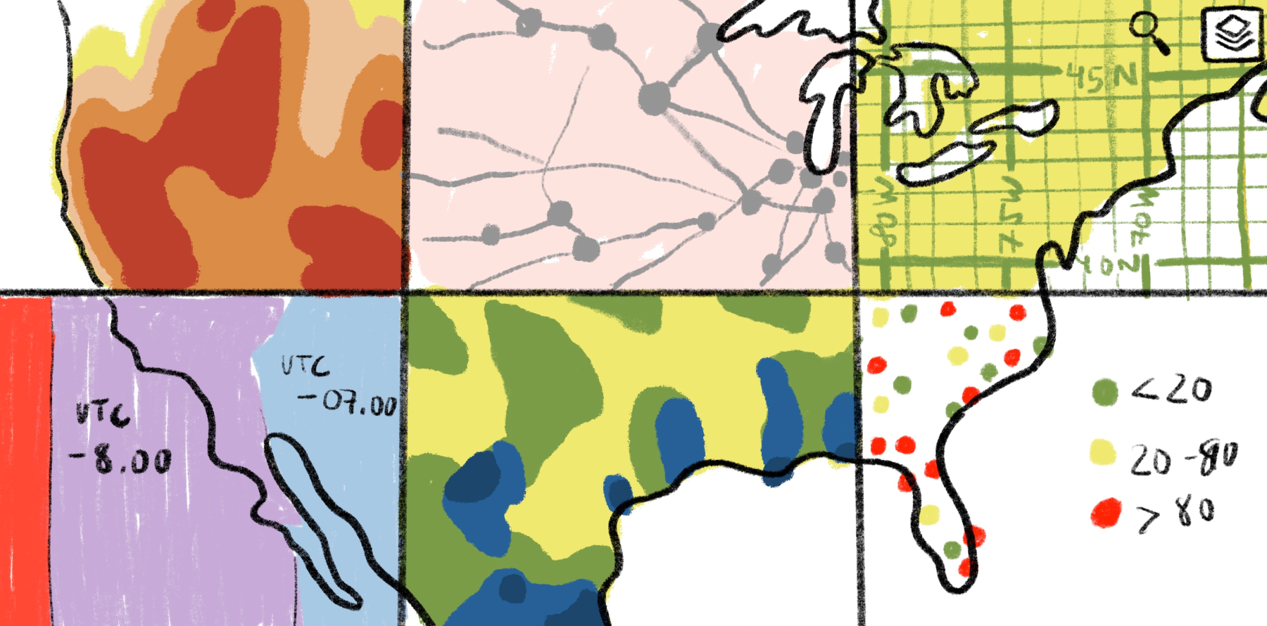
A brand new era of GIS, powered by Felt AI
Sam Hashemi
,
CEO
•
June 2, 2026
More articles
What’s a shapefile in GIS? Uses, limitations, and enterprise workflows
Mamata Akella
,
Head of Cartography
•
July 28, 2026
What’s GeoTIFF: How to stream from S3 into a live Felt map
Mamata Akella
,
Head of Cartography
•
July 28, 2026
Using deforestation maps: How to monitor environmental data
Mamata Akella
,
Head of Cartography
•
July 28, 2026
What is GeoJSON? Understanding the format behind modern web mapping
Mamata Akella
,
Head of Cartography
•
July 28, 2026
The top best CARTO alternatives in 2026 for GIS teams
Mamata Akella
,
Head of Cartography
•
July 28, 2026
Heat maps with ZIP codes: How to create and visualize geographic trends
Mamata Akella
,
Head of Cartography
•
July 28, 2026
Network analysis in GIS: From routing to operational decision-making
Mamata Akella
,
Head of Cartography
•
July 21, 2026
Multi-criteria site selection used to take days. Felt AI makes it instant.
Mamata Akella
,
Head of Cartography
•
July 21, 2026
GIS for local government: Use cases, key benefits, and modern workflows
Mamata Akella
,
Head of Cartography
•
July 16, 2026
Data layering in GIS: How Felt Improves Modern Mapping
Mamata Akella
,
Head of Cartography
•
July 16, 2026
How to create a property site map: Use cases and guide
Mamata Akella
,
Head of Cartography
•
July 16, 2026
Free GIS data: Best sources and how to use them
Mamata Akella
,
Head of Cartography
•
July 14, 2026
Archive


.jpg)
.jpg)
.png)
.jpg)
.jpg)

.png)
.jpg)
.jpg)


.jpg)
.jpg)
.png)


.jpg)


.webp)