Skip to content
LAT37.8044° NLON122.2711° WX-13611157 mY4551831 mE564166 mN4184363 mE6050014 ftN2120204 ftBRG041.0°041.0°040.6°042.1°ZOOM11.0CRS
← Gallery
Climate and natural resources

Hawai'i Elevation

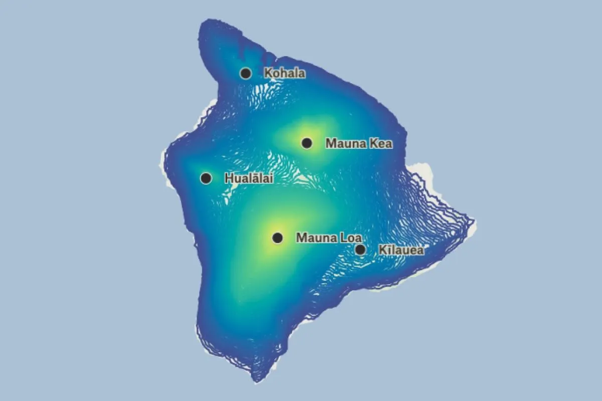
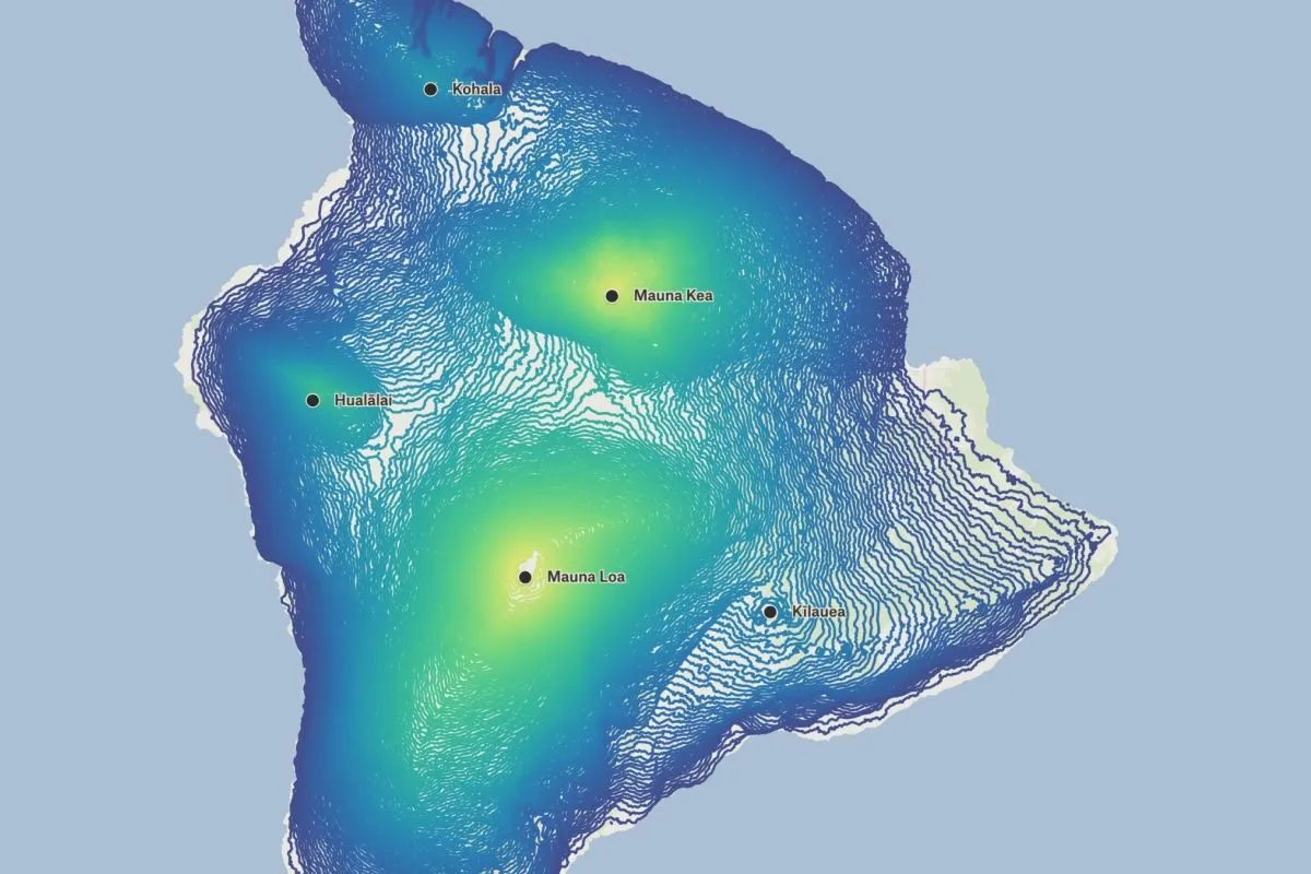
The contours of the Island of Hawai'i displayed using continuous interpolation.

Preview of Hawai'i Elevation, an interactive Felt mapExplore this interactive map →
Hawai'i ElevationOpen in Felt →
CartographerFeltCategoryClimate and natural resources

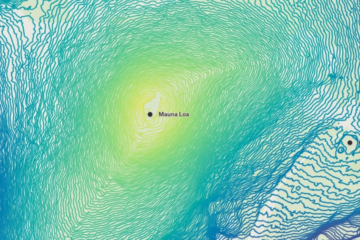
The contours of the Island of Hawai'i displayed using continuous interpolation and Felt’s numeric visualization type. The continuous interpolation of the island’s contours brings the topography to life, making it easy to understand the dramatic slopes, high points and low points. The data used for this visualization comes from the State of Hawai'i's open data portal.
More views

Try Felt

Bring your data, see it on the map

Connect a database or drop in a file and see your data live on a map in minutes.