Skip to content
LAT37.8044° NLON122.2711° WX-13611157 mY4551831 mE564166 mN4184363 mE6050014 ftN2120204 ftBRG041.0°041.0°040.6°042.1°ZOOM11.0CRS
← Gallery
Climate and natural resources

Historical Biodiversity at Harvard University

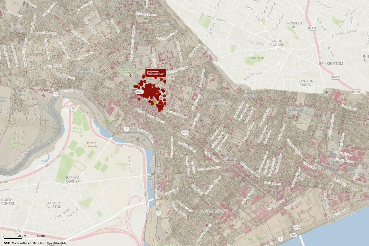
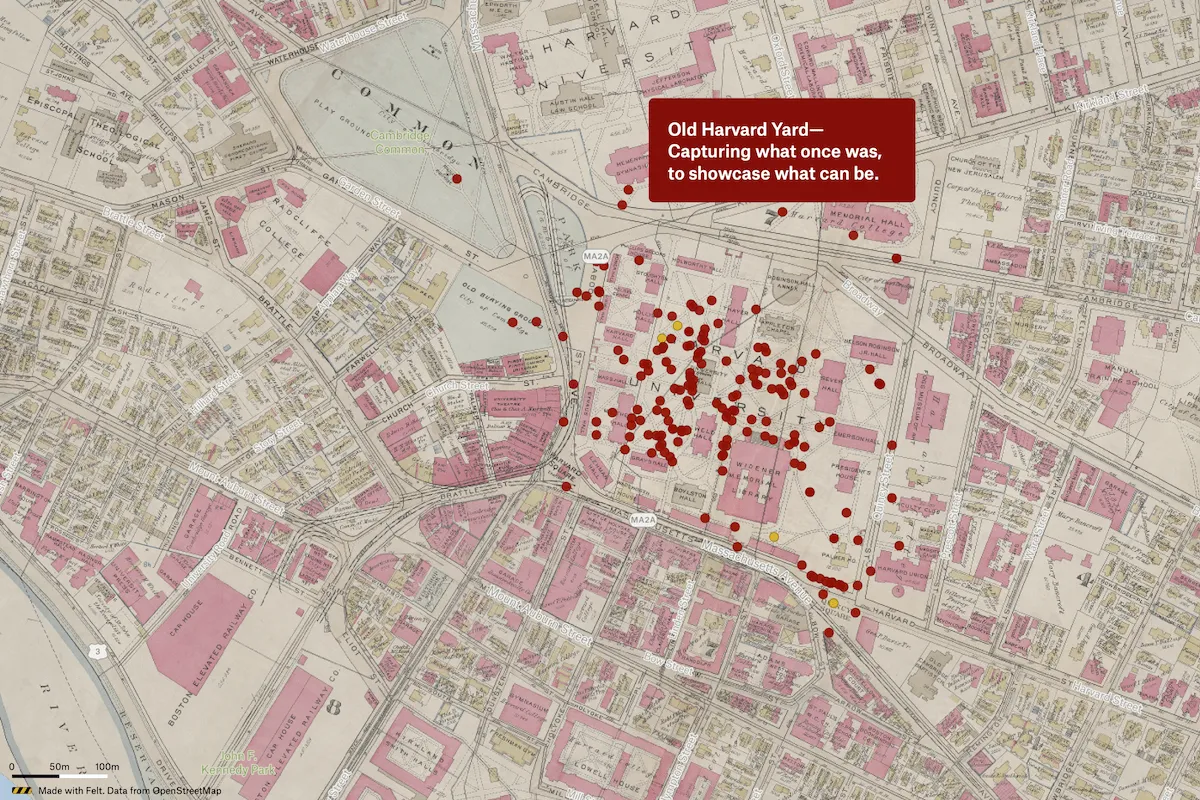
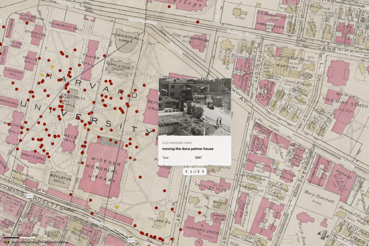
The Harvard Map Collection partnered with professor Joyce Chaplin and her students on an effort to understand historical biodiversity as they seek to re-wild spaces on campus. The project compares historical and contemporary images of Harvard Yard, revealing that despite its seemingly timeless appearance, many of its iconic features, including trees and buildings like Widener Library, are relatively recent additions from the early 20th century. This challenges the perception of Harvard Yard as an unchanging space and raises questions about potential future transformations of the landscape.
Preview of Historical Biodiversity at Harvard University, an interactive Felt mapExplore this interactive map →
Historical Biodiversity at Harvard UniversityOpen in Felt →
CartographerEmily Arbuiso, Avery Britt, Mia DiLorenzo, Nikita Nair, Hayden Teeter, Cody Vasquez, Alyssia WiesenbauerCategoryClimate and natural resources

The Harvard Map Collection partnered with professor Joyce Chaplin and her students on an effort to understand historical biodiversity as they seek to re-wild spaces on campus. The project compares historical and contemporary images of Harvard Yard, revealing that despite its seemingly timeless appearance, many of its iconic features, including trees and buildings like Widener Library, are relatively recent additions from the early 20th century. This challenges the perception of Harvard Yard as an unchanging space and raises questions about potential future transformations of the landscape.

More views

Try Felt

Bring your data, see it on the map

Connect a database or drop in a file and see your data live on a map in minutes.