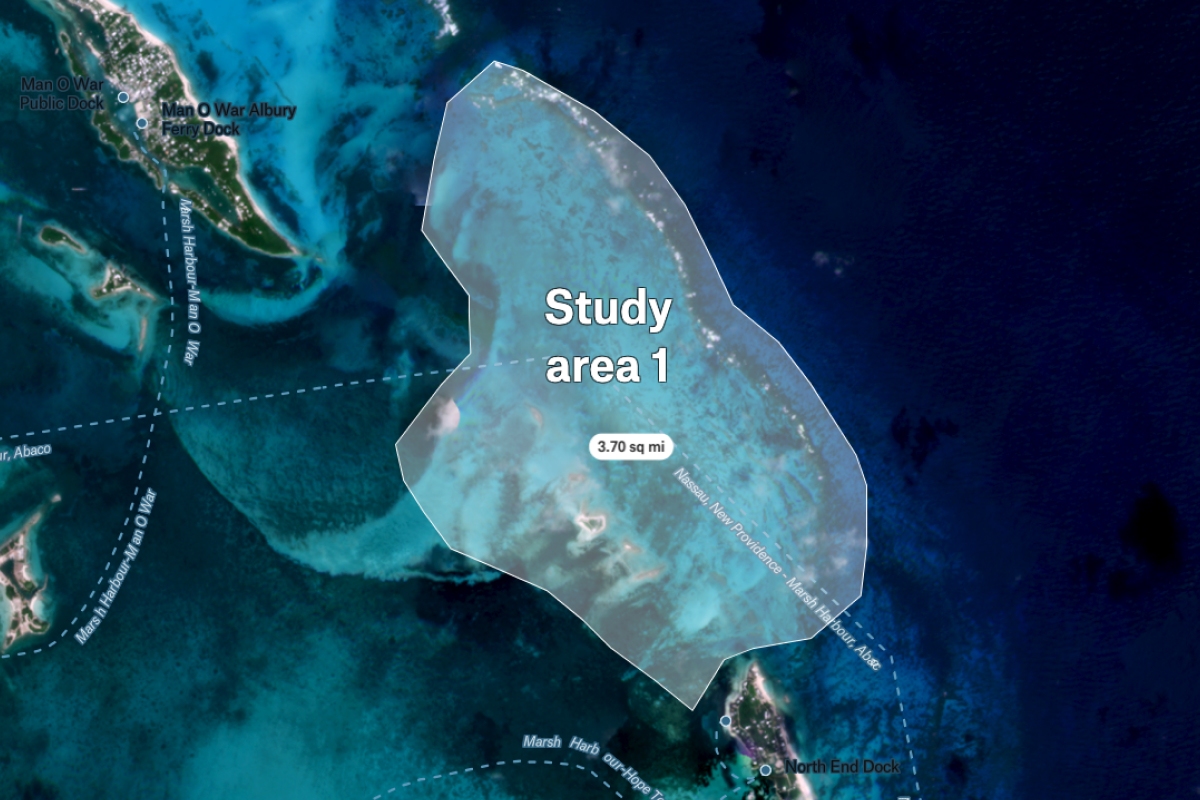
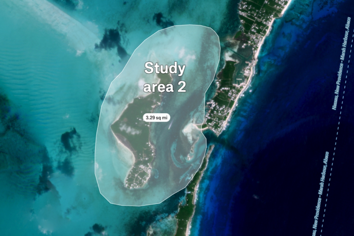
Study area drawn on top of high-resolution Planet imagery. Imagery is easily incorporated into any Felt map which displays the image utilizing any link in XYZ format. By having a clear and detailed visualization of the study area, users can gain a better understanding of the context in which their project is being conducted.


