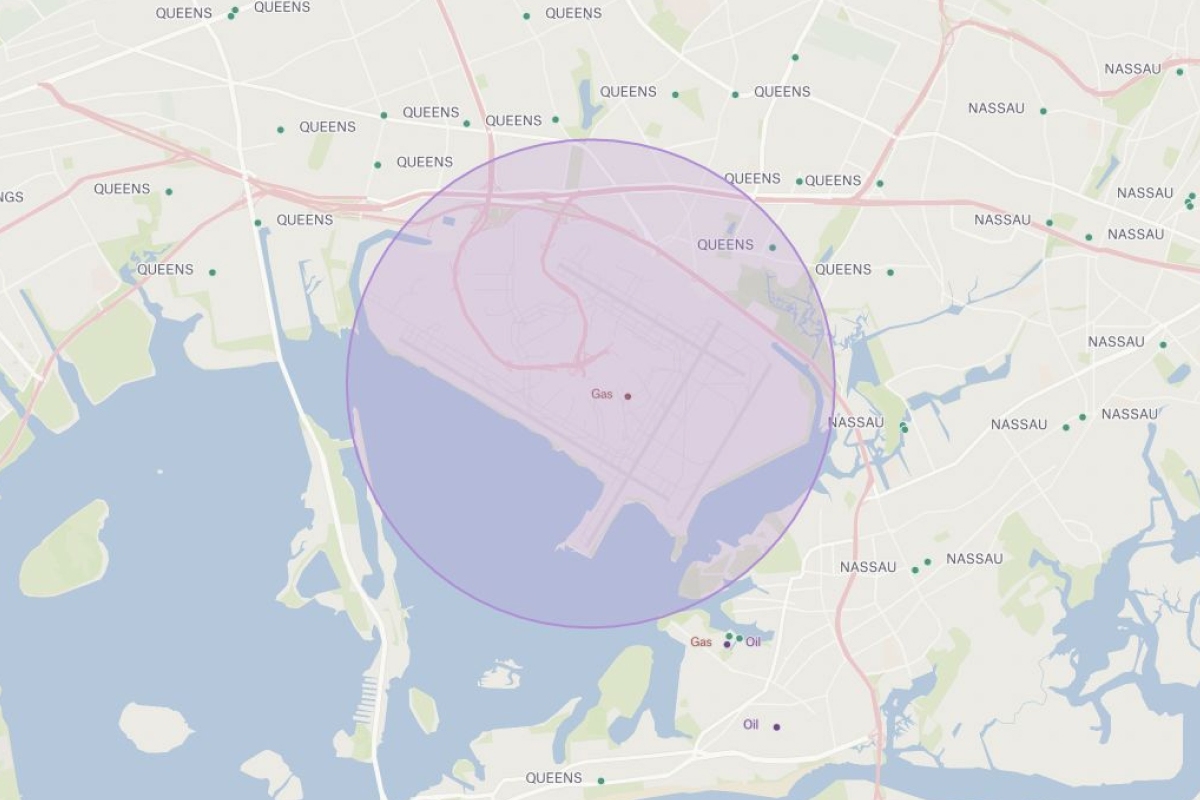
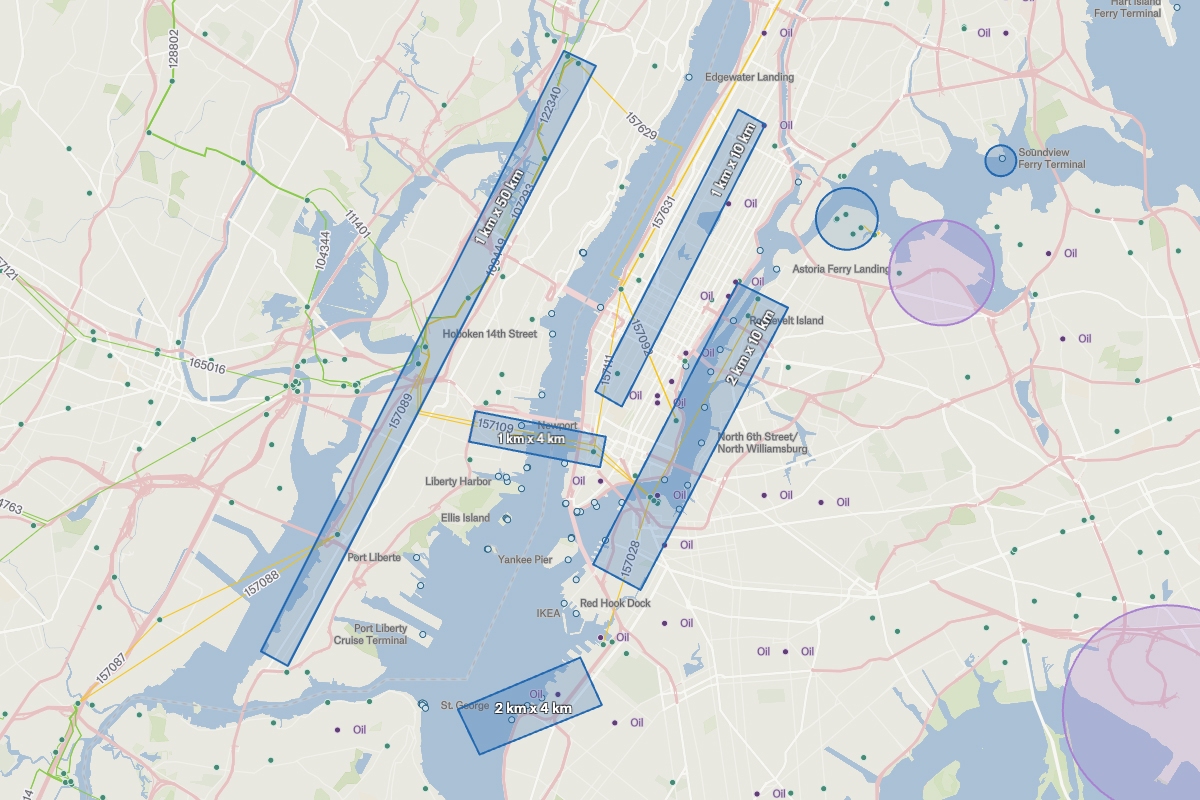
Satellite imagery is purpose-generated to enable incredible feats, such as national security, deforestation and draught watch, and so much more. One step in the process is determining what the satellite will capture. Katie Betts, Director of Business Development at Albedo uses Felt when working with clients to determine the scope of their imagery needs. The data generated by drawing a Felt map is then used by the team in their overall workflow.
“I love how easy it is to work with data in Felt. Being able to upload my .csv files, and clip data features has saved me hours and hours every week and completely transformed my workflow!”


