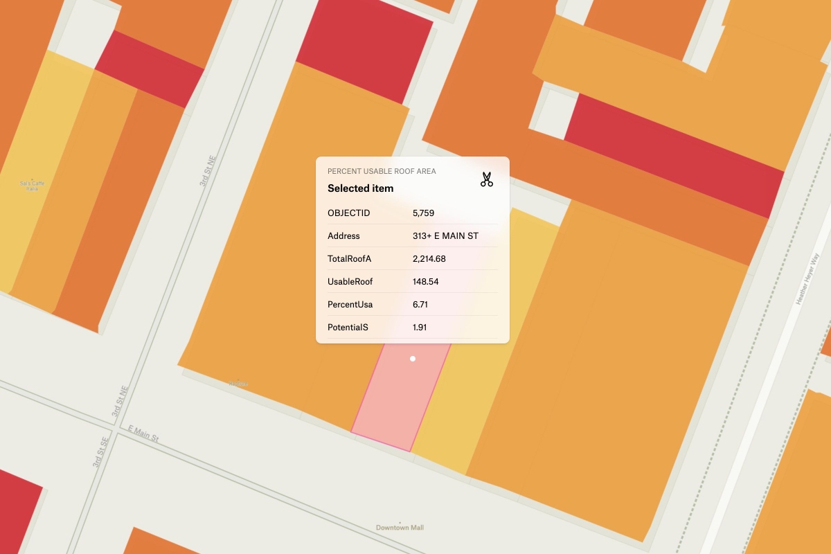
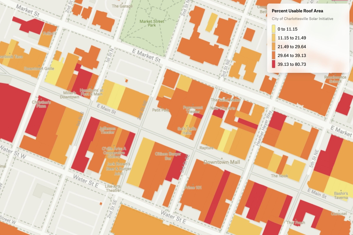
Here is a map that displays the percentage of usable roof areas in Charlottesville that can generate solar energy, based on data from the City of Charlottesville Solar Initiative. This map provides valuable insight into the potential for solar energy generation in the area, and can help individuals and businesses make informed decisions about installing solar panels on their roofs. This map displays the percentage of usable roof area using Felt's numeric visualization type to style the data as a choropleth.


