


The Santa Barbara County Public Works Department is responsible for maintaining the City’s Public right-of-way and infrastructure facilities and managing the water and wastewater infrastructure and system. The team oversees the county's infrastructure, and during emergencies, they are responsible for communicating road closures to the public and emergency services personnel in the unincorporated areas of Santa Barbara County.
Before implementing Felt, the path to producing a map of up-to-date road closures was time-consuming. It could take up to 30 minutes to update the map, delaying communicating critical information to first responders and to the public. The team needed a more flexible, accessible system for spinning up web maps and dashboards instantly.
Using Felt’s route tool to draw road closures on the Felt map and embedding the map on their Road Closures public website, County staff were able to effectively create an improved, interactive map to share time sensitive public information with the click of a mouse. The rest was easy.
Once we discovered what we could do with Felt, we implemented it immediately. - Lael Wageneck, Public Information Officer
The team implemented this solution quickly:
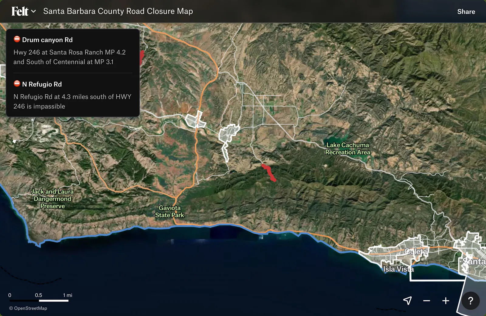
Using Felt saved the team critical time. Instead of 30 minutes to update one road closure, they could publish an update in less than 5 minutes. In an emergency, real-time updates are crucial and Felt proved to be the agile, easy to implement platform the Public Works team needed to inform first responders and the public as quickly as possible. The Emergency Operation Center, which includes first responders including Sheriff, Fire, and Emergency Management, reviewed these updates on the Felt map as they were published in real time and incorporated this information into emergency response strategies.
The map was widely viewed by the public during the February 2024 storms. There were over 15,000 views to the map in 7 days, and over 12,000 views in a 48-hour period.
