


Sharetown faced a critical operational challenge in managing their nationwide network of field representatives. Their sales management team needed real-time visibility into service coverage areas to optimize order distribution, identify operational bottlenecks, and guide strategic expansion decisions. The recruiting team simultaneously required precise geographic insights to evaluate potential field representatives against existing coverage gaps. Their previous mapping solution proved inadequate for their enterprise needs, frequently freezing when processing large datasets and hindering their ability to make time-sensitive operational decisions.
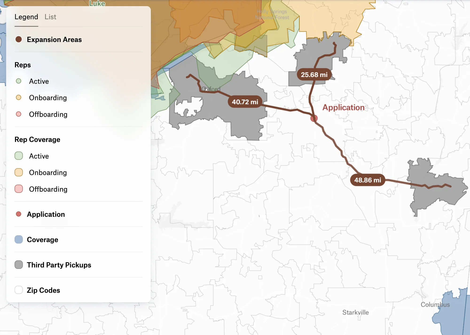
Sharetown implemented Felt as their enterprise geospatial platform, leveraging the Upload Anything feature and Felt API to seamlessly integrate and visualize their coverage networks. The platform's advanced isodistance capabilities enabled precise modeling of operational reach for each field representative, while sophisticated styling options allowed teams to differentiate coverage types and representative status. "It is super helpful to look at layers simultaneously to decide where to recruit," notes Samantha McCorry, Recruiting Manager. The platform's concurrent multi-user functionality enables sales managers to maintain individualized filtered views without impacting their colleagues' analysis, creating a unified yet flexible operational intelligence tool.
Within just four months of deployment, Felt has become mission-critical infrastructure for Sharetown's operational decision-making, generating over 1,000 map views and achieving sustained daily engagement of 30+ sessions. The recruiting team now leverages precise geographic insights to prioritize applications that maximize network coverage, while sales managers maintain a real-time visual source of truth for territory management. By enabling concurrent analysis with personalized filtering, Felt has eliminated the data bottlenecks that previously constrained Sharetown's ability to scale their nationwide operations.
