


Toole Design Group, a mission-driven transportation planning and design consultancy specializing in safe, efficient, and resilient transportation system, manages an extensive portfolio of multimodal transportation and safety projects across the United States. As a Planner and Data Analyst on the Data Science team, Joanna Wang typically juggles dozens of concurrent projects ranging from roadway safety assessments to comprehensive bike network planning across the nation. Traditional desktop and static map delivery methods were creating significant workflow bottlenecks, limiting meaningful collaboration between the project team and clients. The process of gathering feedback through PDF annotations and email chains was time-consuming and introduced the potential for errors, often requiring extensive back-and-forth to interpret and implement changes. Plus, project managers weren’t able to easily self-serve given the complexity of desktop GIS creating increased reliance on Joanna’s team.
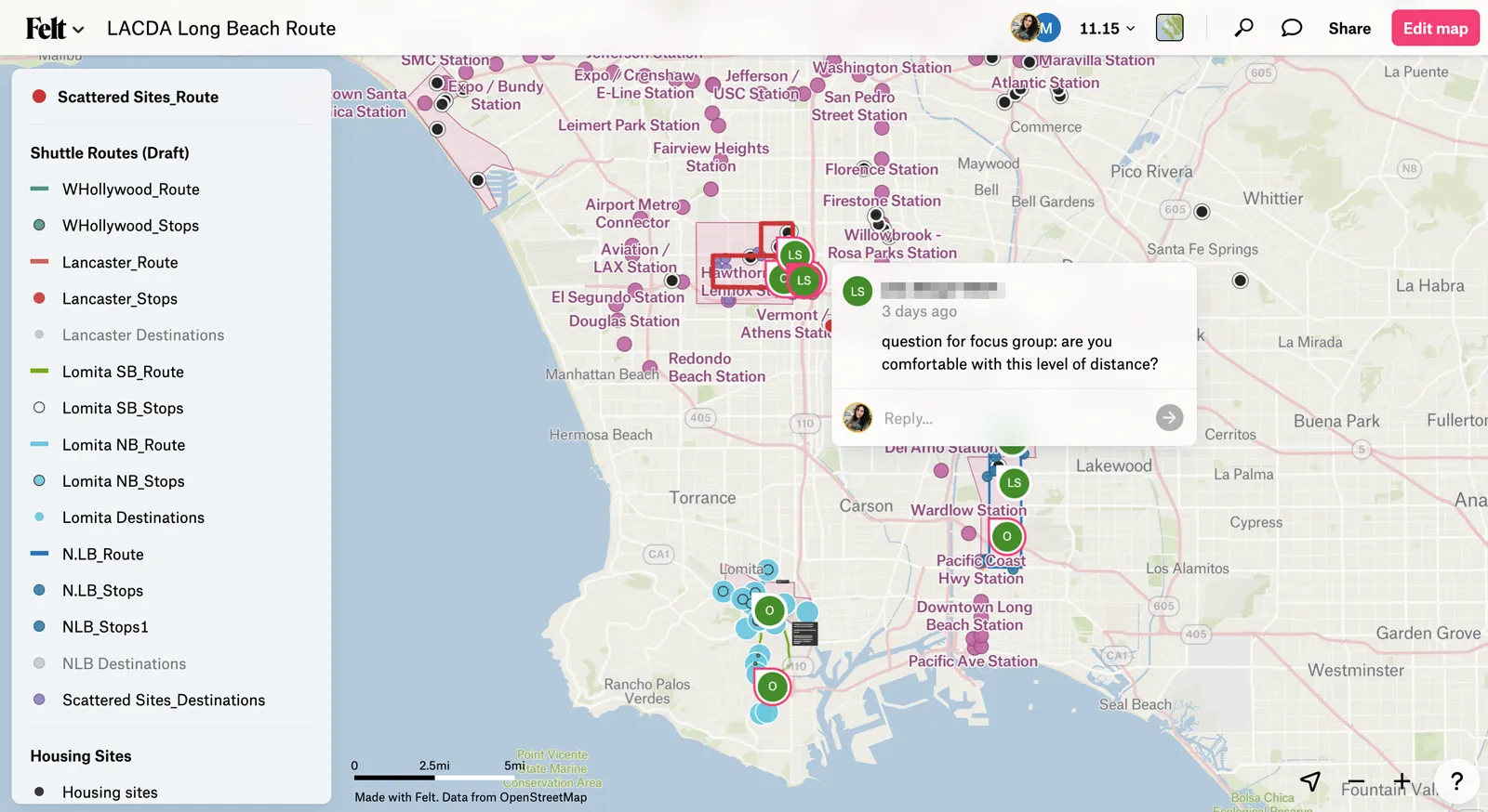
After evaluating several mapping solutions, Toole Design Group implemented Felt as one of their collaboration platforms for geospatial deliverables. Felt's QGIS plugin enabled seamless publishing of complex analysis results, while its intuitive interface allowed both technical and non-technical stakeholders to engage meaningfully with the data. "As a project PM, I find Felt the quickest and easiest way to have planners and analysts visualize data for my review and reference, and for sharing quick easy maps with clients before they are formalized in a PDF," notes Mia Candy, Senior Planner. For the San Francisco Bike Plan, Felt became the central review platform where clients could directly draw network adjustments based on community feedback.
Joanna confirmed the clients love working this way as well, "Generally we find felt maps to be a lot more digestible for the clients. They are also more pleased to see something that they can interact with since a lot of times it makes it easier to understand."
The adoption of Felt has generated measurable efficiency gains across Toole Design Group's project portfolio. The platform saves approximately two business days per project in map setup and feedback iteration time, allowing staff to focus their time on better serving more pressing client needs. Within three years, adoption has expanded from active transportation projects to safer routes to school initiatives, Vision Zero projects, and corridor plans, with over 30 staff members now actively using the platform.
Felt has also made it easier for planners outside the data team to make their own maps. "I like Felt because it's not that hard for someone like me to use (non-QGIS expert)," shares Allison Philips, Project Planner, “I found it was easy to update with new data as the project progressed." This technical accessibility has transformed how teams collaborate, with project managers without GIS backgrounds reporting substantially improved ability to discuss geospatial analysis results.
The platform has become a valuable differentiator, demonstrating Toole Design Group's dedication to collaborative planning process and their capability to deliver products with easy-to-use interface for their clients. "We want our planning process to be transparent and easy to digest, with our clients not only involved in but being able to interact with the process – Felt is a very easy way for us to deliver projects in less time while delighting our client with results that are driven by their feedback," says Joanna.
.webp)
