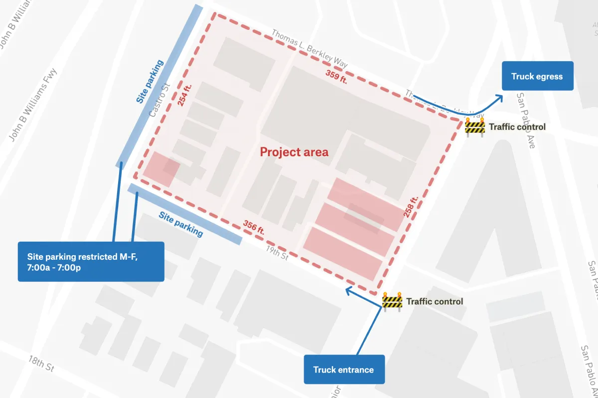
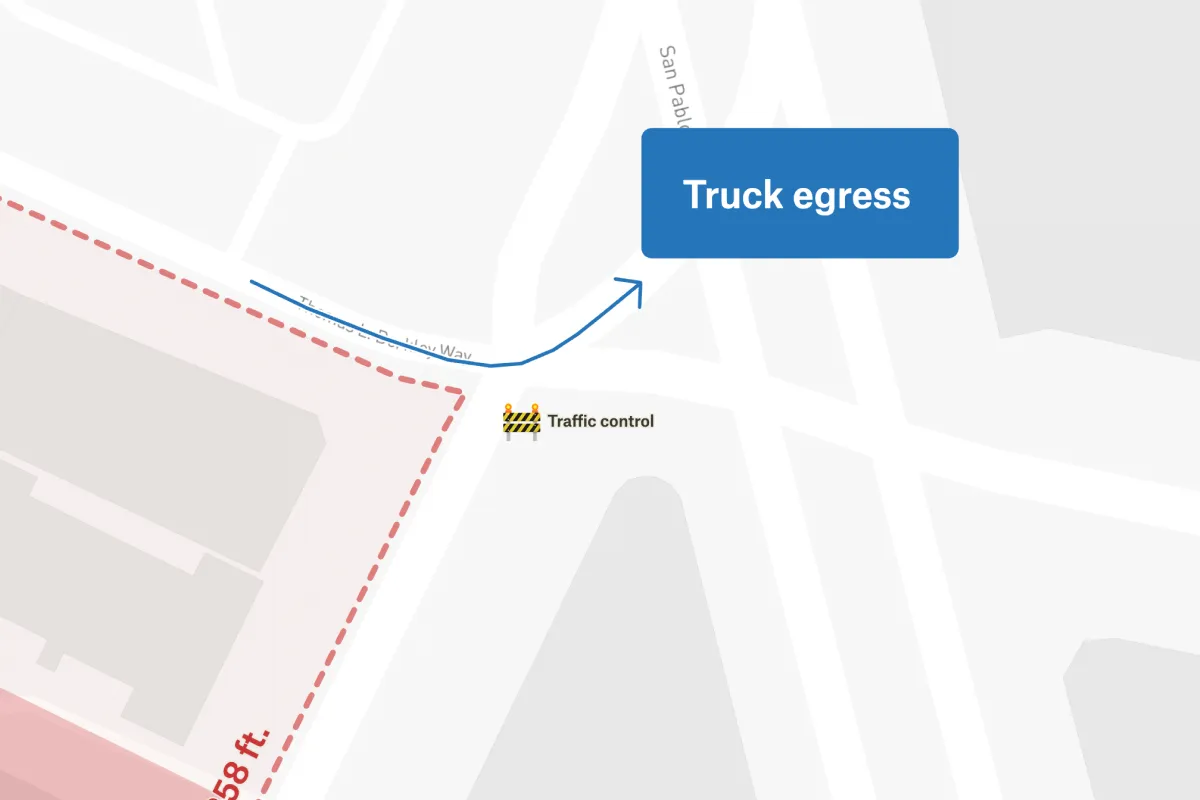
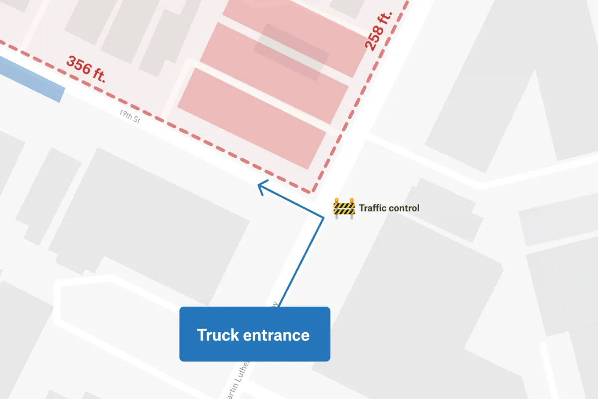
This map depicts a detailed construction site plan that includes essential features like entrance and egress points, site parking, and the lot size. The plan has been drawn on top of Stamen map tiles, which are easily accessible through Felt. The entrance and egress points have been carefully marked to clearly communicate how to access the site, while the site parking has been marked to accommodate the number of vehicles expected. The lot size has also been clearly indicated, which gives a comprehensive view of the total area available for construction.
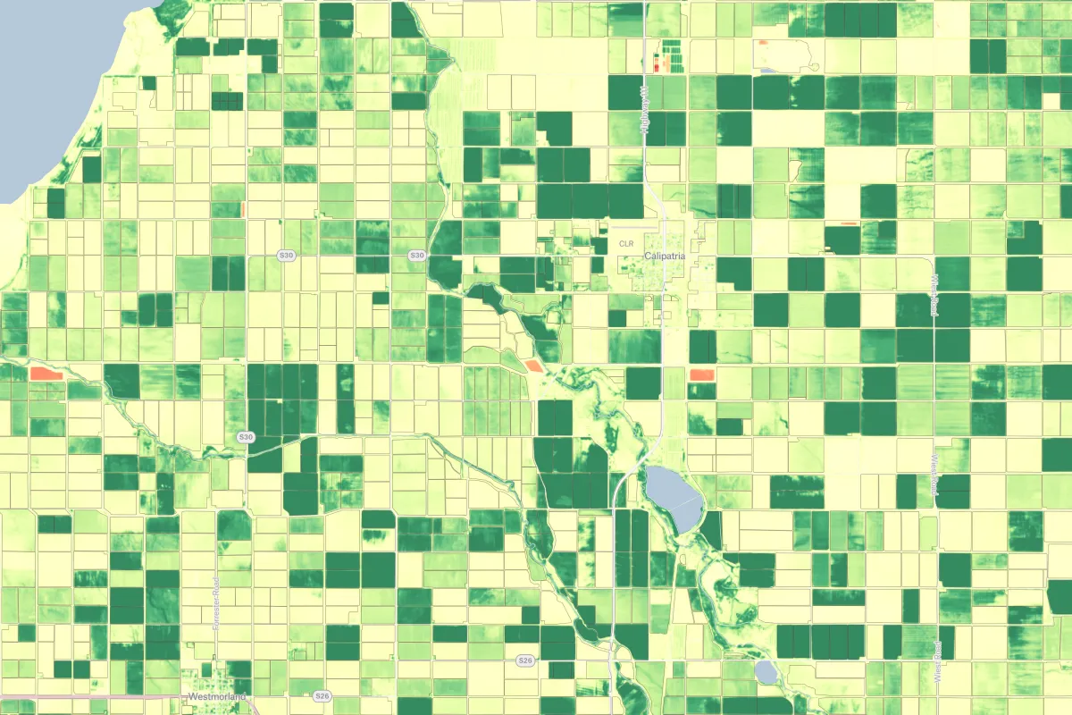
A construction site map is a detailed visual representation that displays the physical layout, boundaries, and key operational areas of an active construction project, including temporary facilities such as site offices, material storage areas, equipment staging zones, access points, safety zones, and utility connections. These maps typically show existing structures, proposed building footprints, pedestrian detour routes, exclusion zones, topographic information, and surrounding street context to provide a comprehensive view of the construction environment. Color coding and symbols differentiate between active work zones, completed areas, future construction phases, safety buffer zones, and critical features like crane swing radius, scaffolding locations, temporary fencing, and utility connection points. Construction site maps serve multiple purposes including coordinating construction activities, ensuring worker and public safety, managing logistics and material deliveries, obtaining necessary permits, and communicating project status to stakeholders and nearby residents. These maps are regularly updated throughout the project lifecycle to reflect changing conditions, completed work phases, and evolving site configurations as construction progresses from groundbreaking through final completion. For public information on ongoing construction projects in San Francisco, visit the San Francisco Department of Building Inspection's online portal at https://dbiweb02.sfgov.org/dbipts/ to search active building permits, view project details, track construction status, and access submitted plans citywide.
The four main types of construction are: residential construction (homes, apartments, townhouses), commercial construction (offices, retail stores, hotels), industrial construction (factories, warehouses, power plants), and infrastructure/heavy civil construction (roads, bridges, dams, utilities). Some classifications also distinguish institutional construction (schools, hospitals) as a separate category.
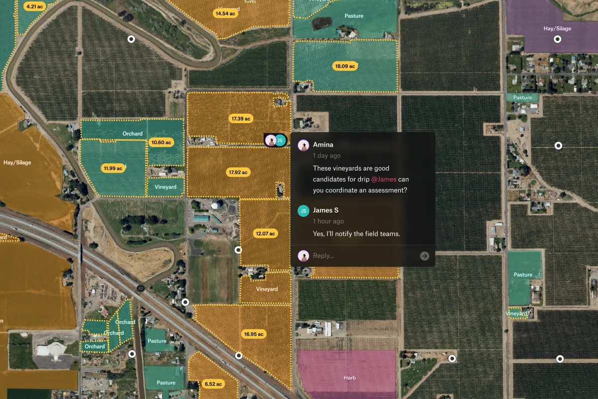
A site map (or site plan) in construction is a detailed architectural drawing that shows the layout of a construction project from an aerial/overhead view. It displays the building footprint, property boundaries, access roads, parking areas, utilities, topography, landscaping, drainage systems, and spatial relationships between structures and site features. It's essential for planning, permitting, and coordinating construction activities.
You can create a construction site map using CAD software (AutoCAD, SketchUp, Revit), spatial mapping tools (Felt, ArcGIS, QGIS), or specialized construction software (Procore, PlanGrid). The process involves obtaining a survey of the property, measuring boundaries and topography, drawing the building footprint and site features to scale, adding utilities and access routes, including elevation data, and annotating with dimensions and notes. For professional projects, hiring a surveyor or civil engineer is recommended.
.webp)