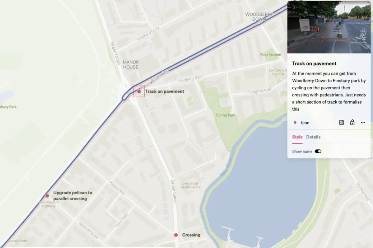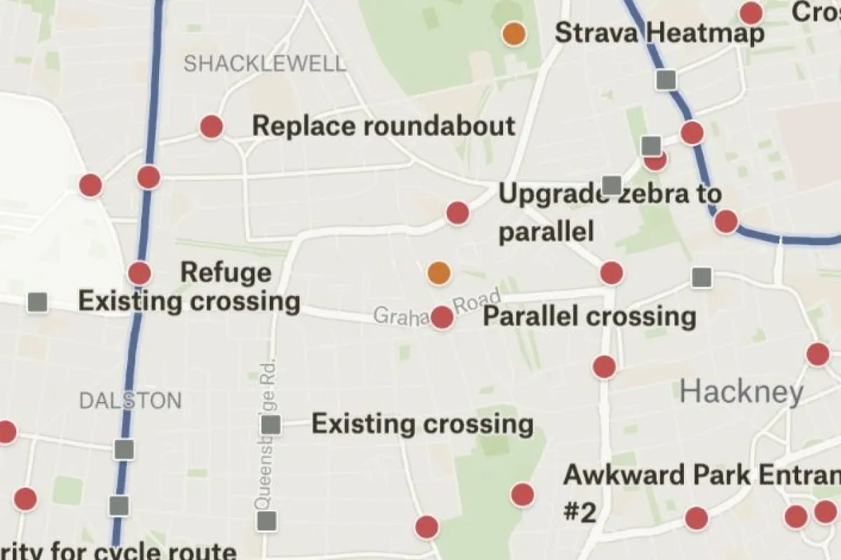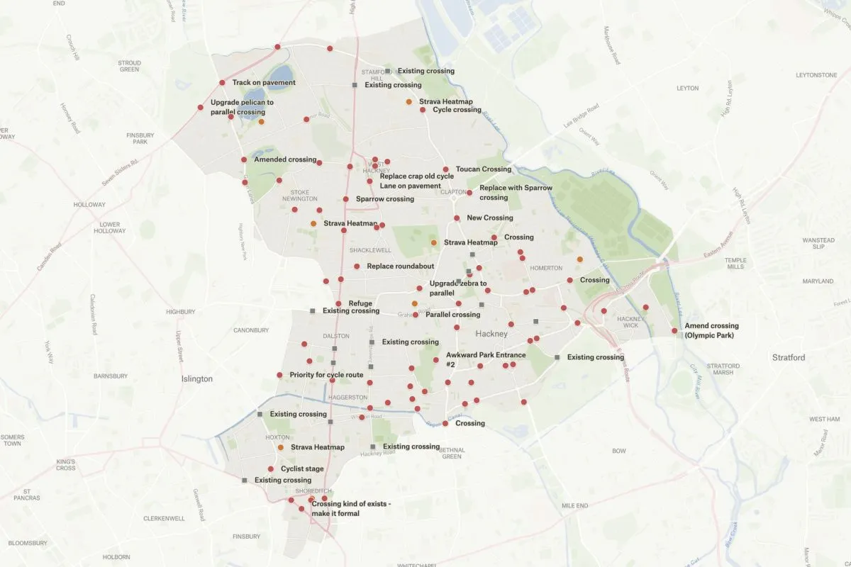
Cycling advocate William Petty recently led a task force to survey cycling infrastructure conditions across Hackney, London. He managed this data collection project in Felt, collaborating with several other stakeholders, then processed that data into a final map of intersections and gateways that would make for safer cycling.
“We needed a way to gather knowledge from cycle campaigners in one place, and to share it with the public. Felt was the missing piece of the puzzle.”
This map shows the collaborative data collected by the task force, which was ultimately processed by a QGIS model, brought back into Felt and shared with the municipality in the local planning process. To learn more about Will’s process, check out our Felt Community Meetup recording.