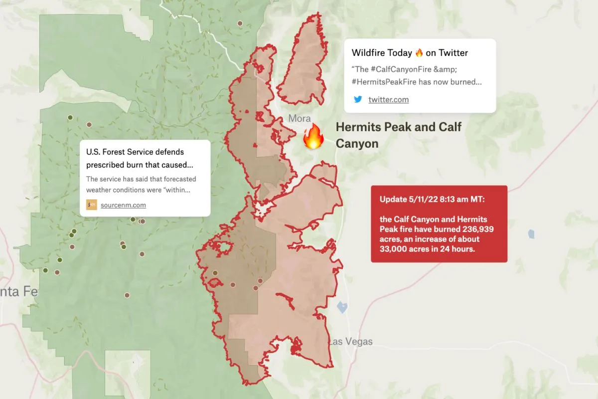
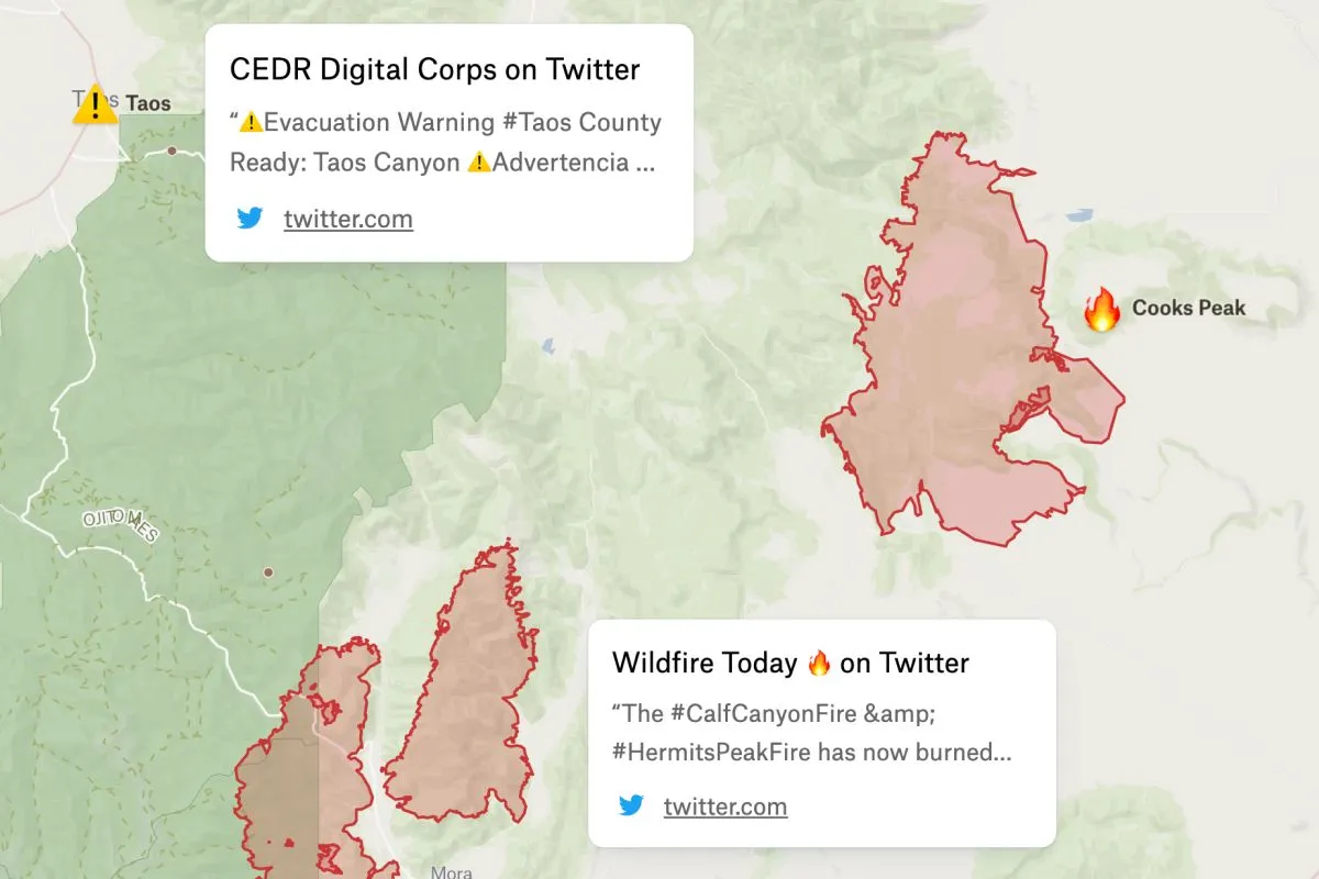
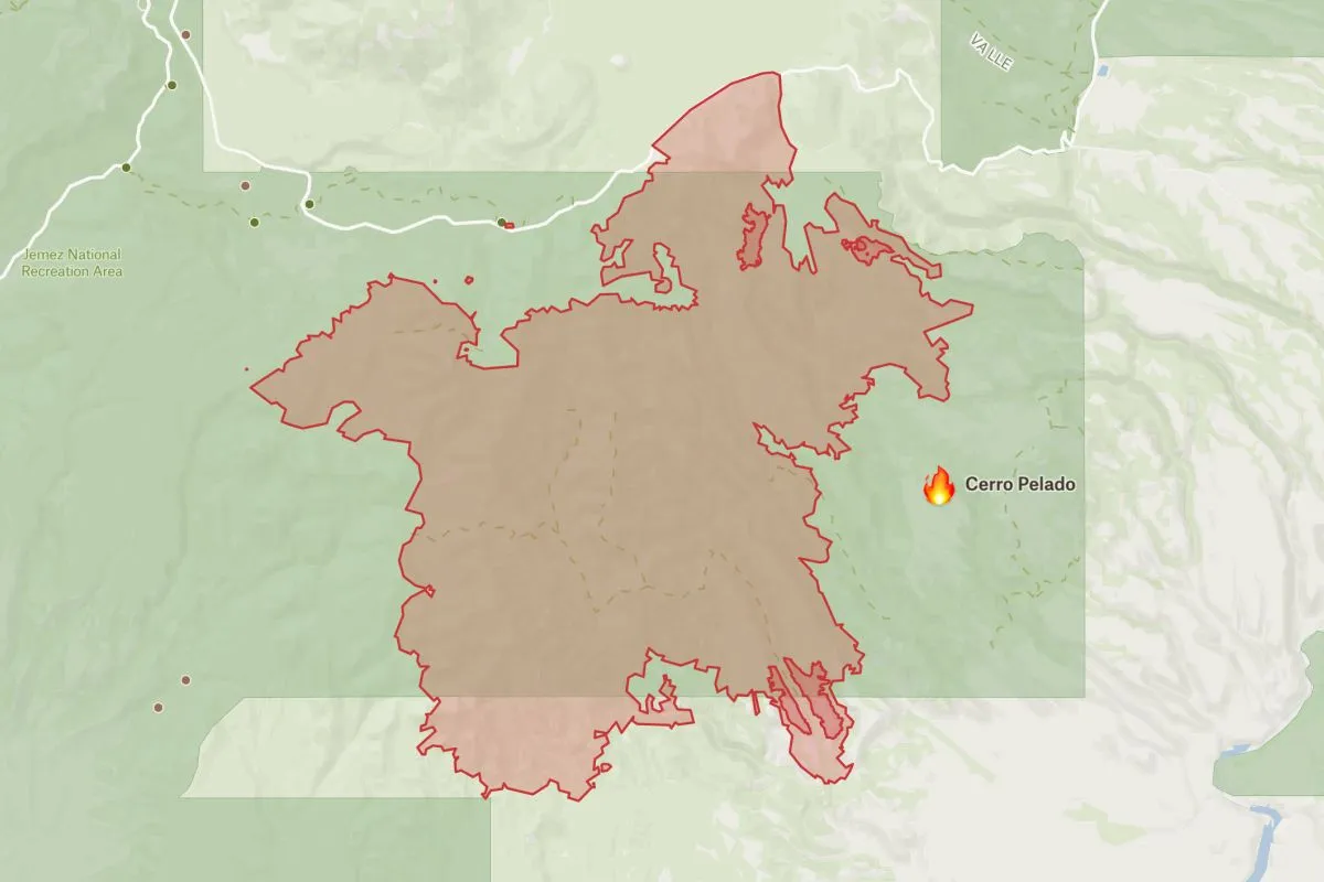
In May of 2022, two fires–Hermits Peak and Calf Canyon–burned dangerously close to Santa Fe. This map displays the fire perimeter shared by the National Fire Information Center on May 11, and links to the most recent authoritative information on the fire status to help distribute emergency information to those in need.
Hermits Peak & Calf Canyon Fires
More views
FAQ
Common questions
01What caused the Hermit Peak fire?
The Hermit Peak Fire was caused by a prescribed burn conducted by the U.S. Forest Service that escaped containment. The agency was conducting a controlled burn for forest management purposes when weather conditions changed unexpectedly, causing the fire to spread beyond the planned boundaries in April 2022.
02When did the Hermit Peak fire start?
The Hermit Peak Fire started on April 6, 2022, when a prescribed burn by the U.S. Forest Service escaped control near Hermit’s Peak in the Sangre de Cristo Mountains of New Mexico. It later merged with the Calf Canyon Fire to become the Hermit Peak/Calf Canyon Fire.
03How big is the Calf Canyon Hermits Peak fire?
The merged Hermit Peak/Calf Canyon Fire burned approximately 341,735 acres (534 square miles), making it the largest wildfire in New Mexico’s recorded history. The fire destroyed hundreds of structures and forced thousands of evacuations across multiple counties in northern New Mexico before being fully contained in August 2022.
Try Felt
Bring your data, see it on the map
Connect a database or drop in a file and see your data live on a map in minutes.