CartographerFeltCategoryEmergency response
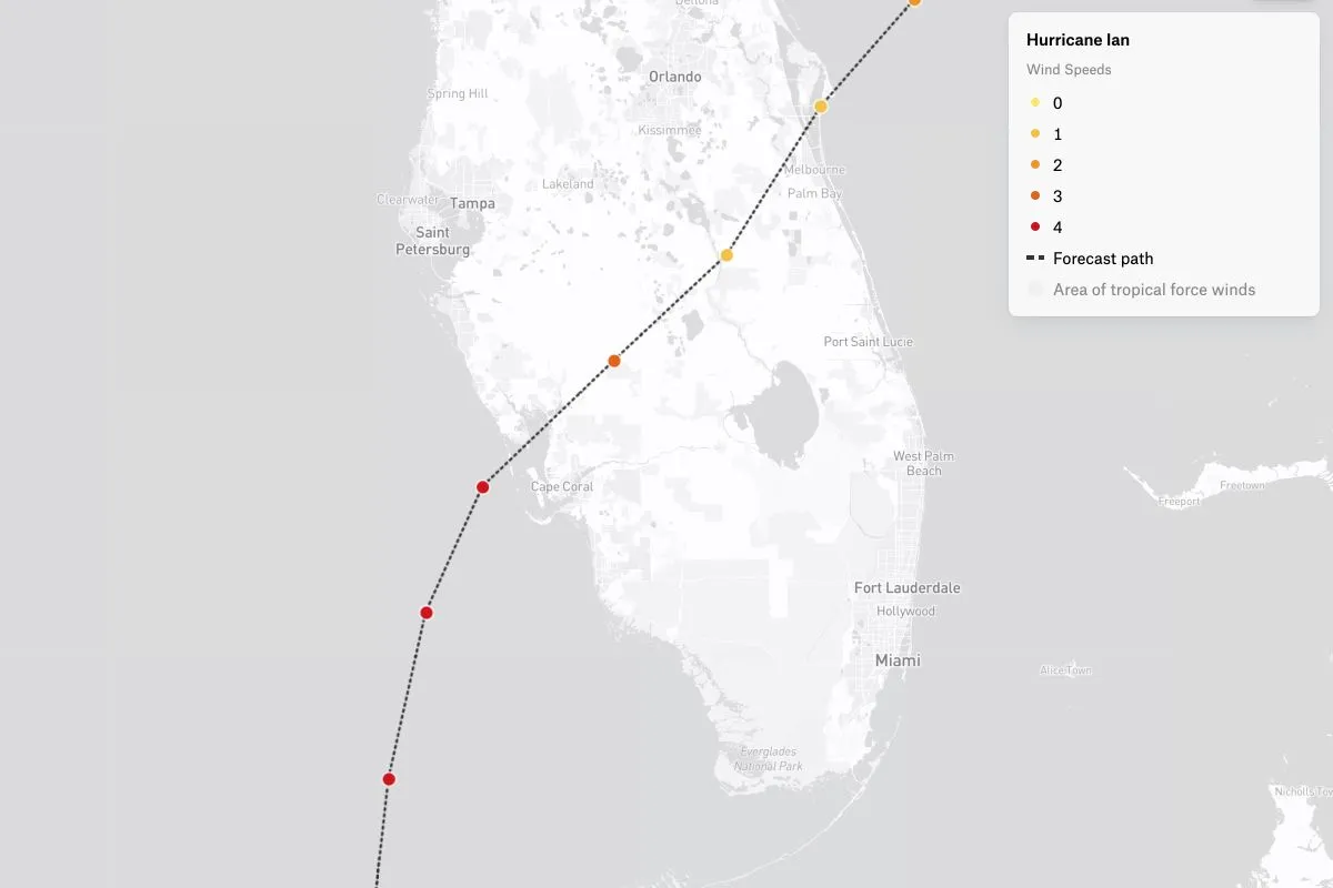
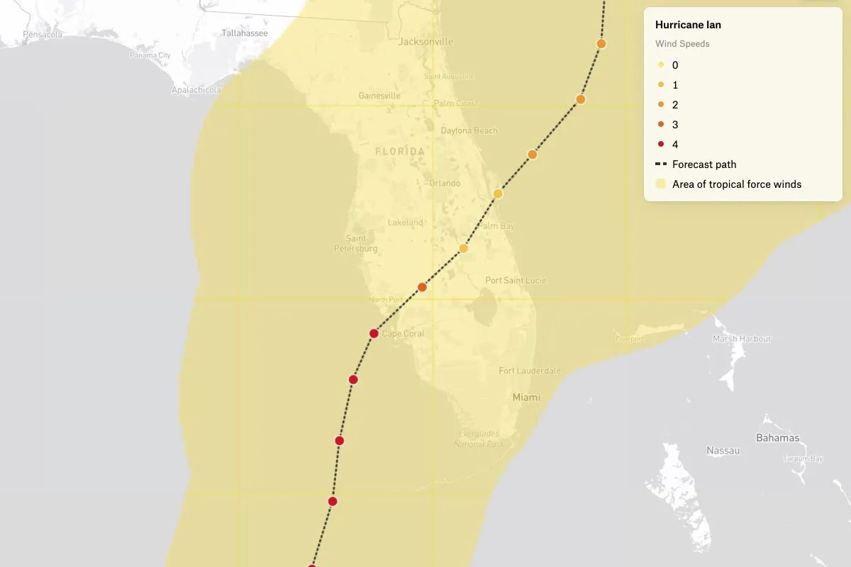
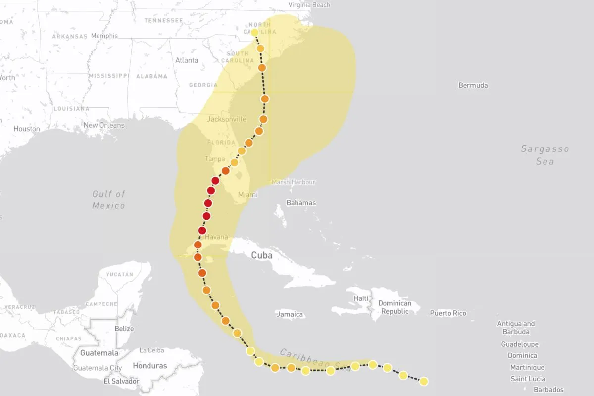
Hurricane Ian, a category 4 hurricane, caused widespread damage in Cuba and the southeast United States. It was the strongest hurricane to hit Florida since Hurricane Michael in 2018, and the deadliest hurricane to strike the state since the 1935 Labor Day hurricane. Ian was also the most recent major hurricane to strike the west coast of Florida since Hurricane Irma in 2017. This map depicts the Ian’s path, intensity and far-reaching wind-speeds, with data from the National Oceanic and Atmospheric Administration.