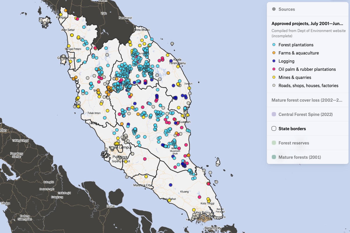
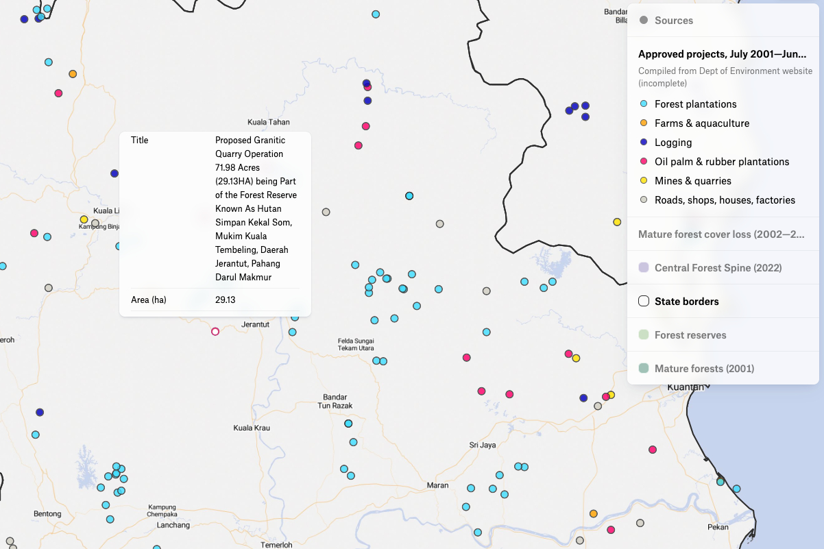
This map is the result of journalist Yao-Hua Law's work, comparing government data to satellite imagery. Sources included Department of Environment (DOW) and Global Forest Watch. Law determined which years were marked by the highest rate of tree loss and which states had the most tree loss based on satellite data. He also found out which states had the biggest gap between satellite-reported data and government reported data. Then, he added development projects within forest reserves that were approved by the government hoping that he will be able to compare and match the area of each project with the tree loss around that project. He then confirmed his findings with the local community. Read more about how Felt is becoming a critical tool for this type of important environmental investigative work here.


