CartographerFeltCategoryPlanning
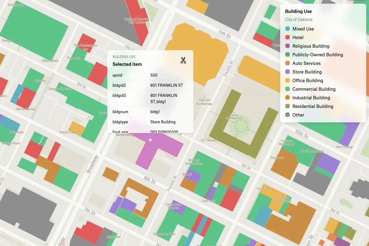
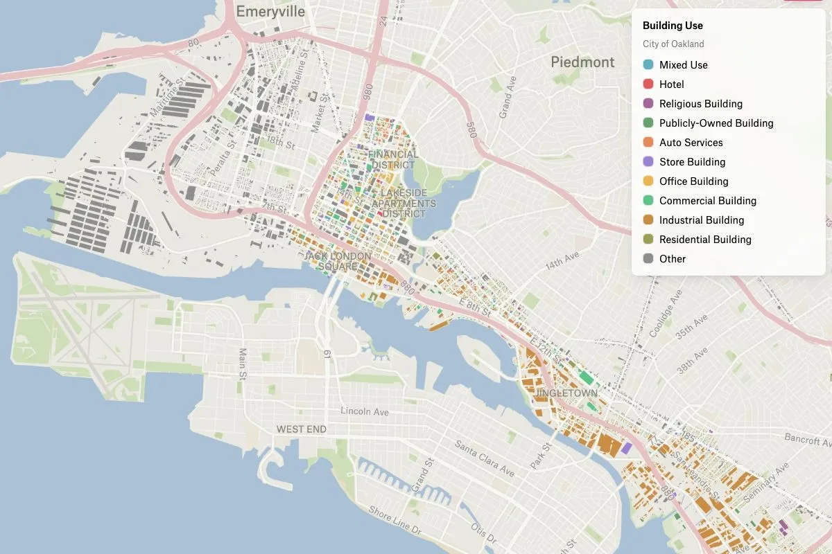
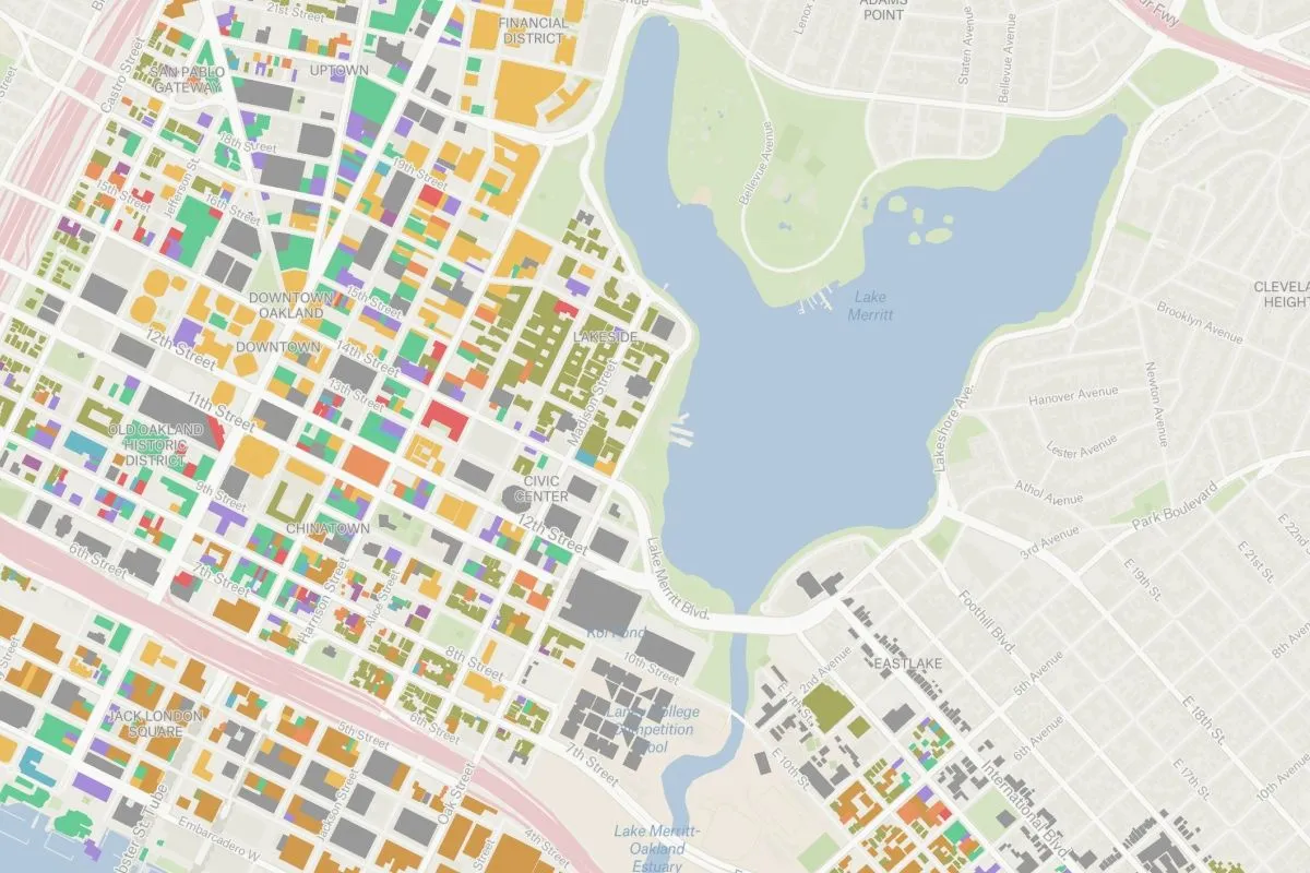
This map, which uses data sourced from the City of Oakland, visualizes the various permitted uses of buildings throughout the city. By providing a comprehensive overview of the city’s zoning, the map offers valuable insight into the city’s infrastructure and community planning. The information can be used by city officials and community leaders to make informed decisions about future development, and can also be helpful for individuals looking to better understand the city’s diverse neighborhoods and the types of buildings located within them. Overall, this map serves as a valuable resource for anyone seeking a deeper understanding of Oakland’s urban landscape. Duplicate as a layer for your own Oakland-based projects.