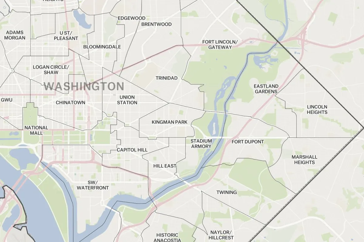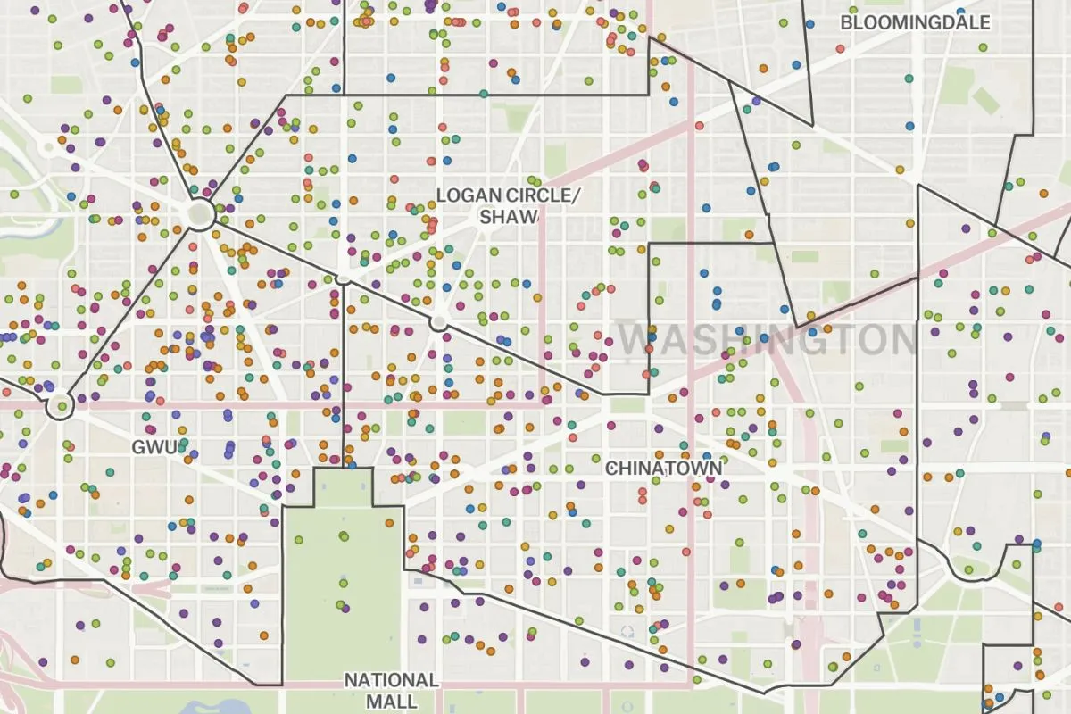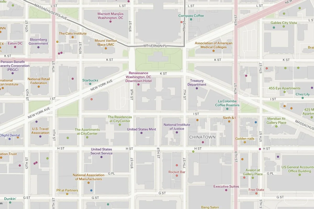
This map applies Felt’s powerful zoom-based styling tools to Overture Maps Foundation POI data, providing our users with a template for polishing and presenting POIs. Follow along this exercise to learn these styling tools yourself.
Overture Maps Foundation’s release of 2023-07-26-alpha.0 included four uniquely powerful datasets: Places of Interest (POIs), Buildings, Transportation Network, and Administrative Boundaries. This map applies Felt’s powerful cartographic tools to raw POI, buildings and administrative boundary layers to demonstrate the most effective way to introduce all these features on the same map. Felt’s zoom-based styling by introducing features and labels appropriately through zoom, fading in and out subtly, as needed. At the opening zoom, the map shows the city boundary of Washington, DC and as you zoom in more information like neighborhoods, buildings, road labels as the Overture places are introduced into view. Learn how to turn raw POI data into a polished map here.