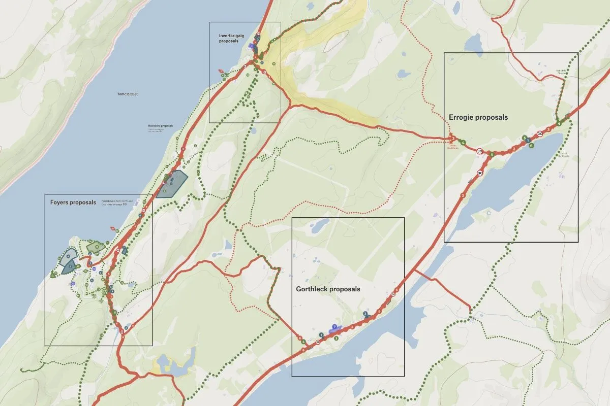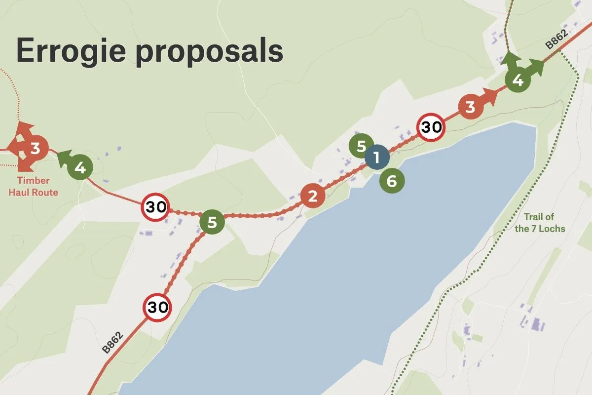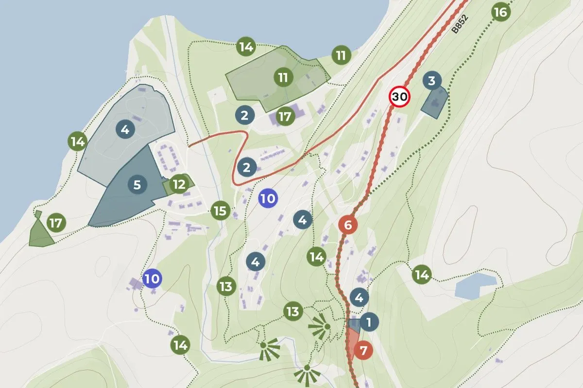
This map was built for Stratherrick and Foyers Local Place Plan and showcases locally sourced projects that align with the community’s vision. The map showcases the region as a whole, while also providing detailed views to specific areas. The map plays a key role in helping the community understand what the villages could look like in the future once the vision and action plans have been implemented.
Nick combined data from the Scottish municipalities with hand-drawn elements, such as lines, markers and routes, which he expertly styled to give viewers and at-a-glance understanding of the project area. Not only was Nick able to produce a living document on the web, but he also included images of these maps in the final plan which can be viewed here. Typically Nick outsources this kind of work, but found it entirely possible to execute on his own in Felt, saving weeks-worth of coordination and thousands of dollars in budget. Listen to Nick share on the benefits of Felt for his consultancy in this webinar.