SUMMARY
To create a custom map, sign into your Google account, open a new map, and add layers, markers, routes, and icon options to organize locations visually.
The Google Maps App work well for basic map maker tasks like plotting destinations, drawing routes, and sharing simple maps. As projects grow, custom map projects become harder to manage because Google Maps has limits around performance, customization, and real-time collaboration.
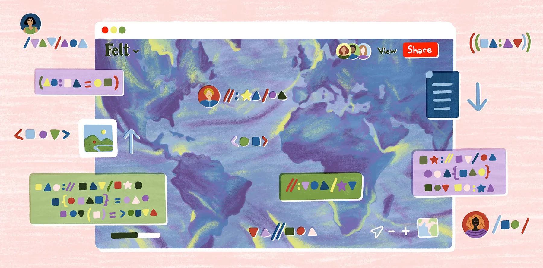
Advanced mapping platforms like Felt support more scalable, collaborative workflows with richer visualization, easier sharing, and enterprise-grade data handling for teams that have outgrown Google Maps.
The Google Maps app is a popular tool for making maps that show destinations and routes. It allows you to create a custom map and includes features like layers, markers, and icons.
But while Google Maps is useful for basic mapping, it falls short when it comes to advanced, scalable features. Teams that want to create maps that transform simple location data into interactive and collaborative projects will need to move from Google Maps to more sophisticated platforms. Felt offers real-time editing and seamless data sharing, making it easier to manage complex workflows across teams.
Keep reading for a step-by-step guide on how to make a custom Google map. We’ll also show you why Felt is a better solution if you want to create and share custom maps without limitations.
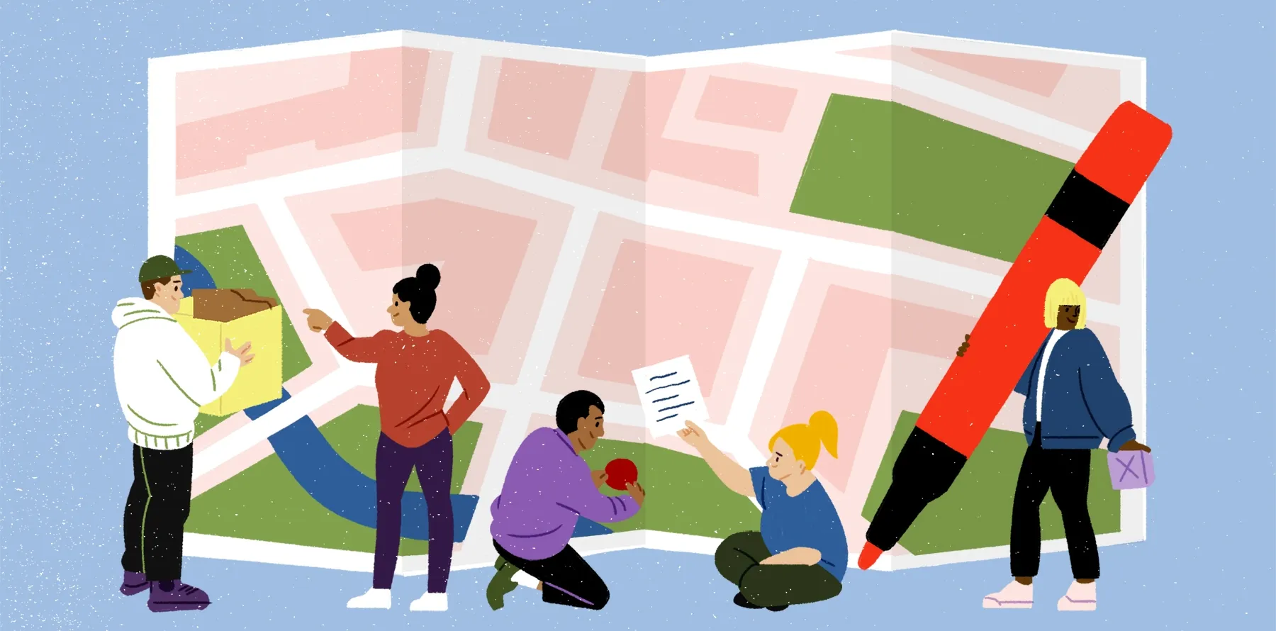
Why custom maps matter for collaboration
Custom maps help teams organize complex data into clear visual formats. Instead of spreadsheets, they show patterns and routes that are easier for teams to understand.
Here are a few practical scenarios where custom maps might be used:
- Presenting complex statistics: Highlighting numerical insights — such as mapping census data or displaying public health metrics — makes large datasets easier to interpret and supports better decision-making.
- Tracking environmental projects: Visualizing conservation or land use changes helps teams coordinate action and relief efforts across different regions.
- Managing business operations: Mapping clients, resources, and project sites helps teams identify opportunities for optimizing routes and expanding locations.
Google Maps is a good introduction to building custom maps. It lets you draw locations and routes fairly easily. But as projects become more advanced, its limitations become clear. For example, Google Maps lacks advanced collaboration and visualization tools — making it harder for teams to work together in real time.
Felt fills this gap with tools that let teams create and share interactive maps effortlessly. With Felt, users can turn static data into a dynamic, actionable resource.
How to create maps using Google Maps: 5 easy steps
Learning how to make a map with Google Maps is simple, and you can use either the app or the desktop version. Here are the five steps.
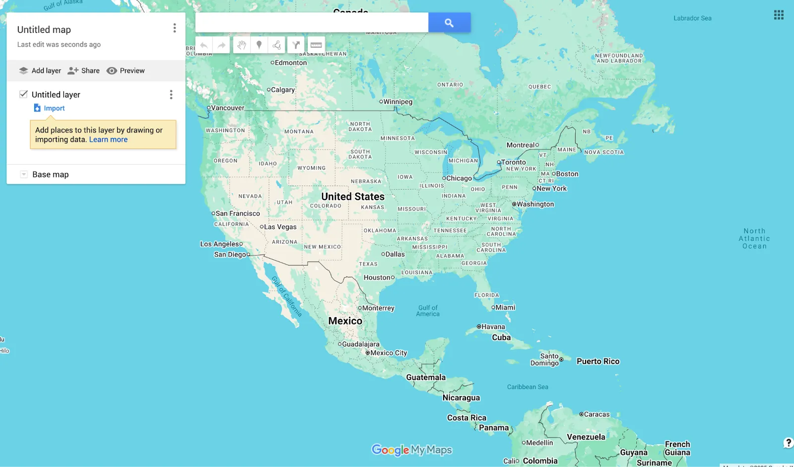
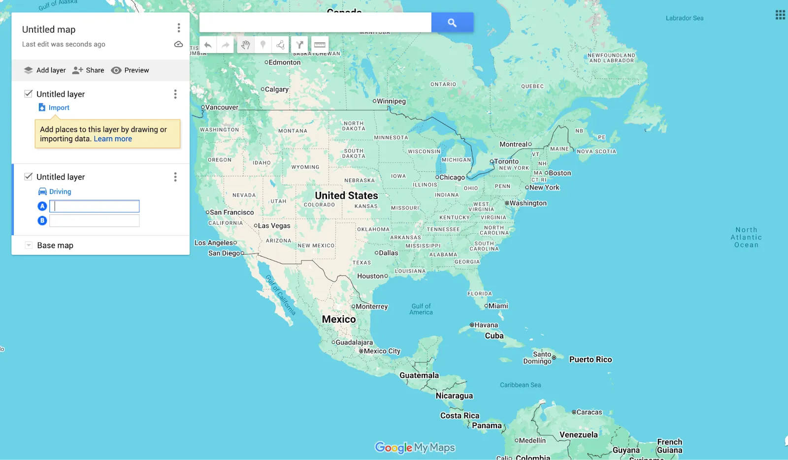
- Open Google Maps and create a new map
Sign into your Google account and go to Google Maps. Click “Create a New Map” to start fresh. This new map will serve as your base for adding locations, routes, and custom features. If you’re using the Google Maps app, open the menu and choose “Your Places,” then “Maps,” and choose “Create Map.”
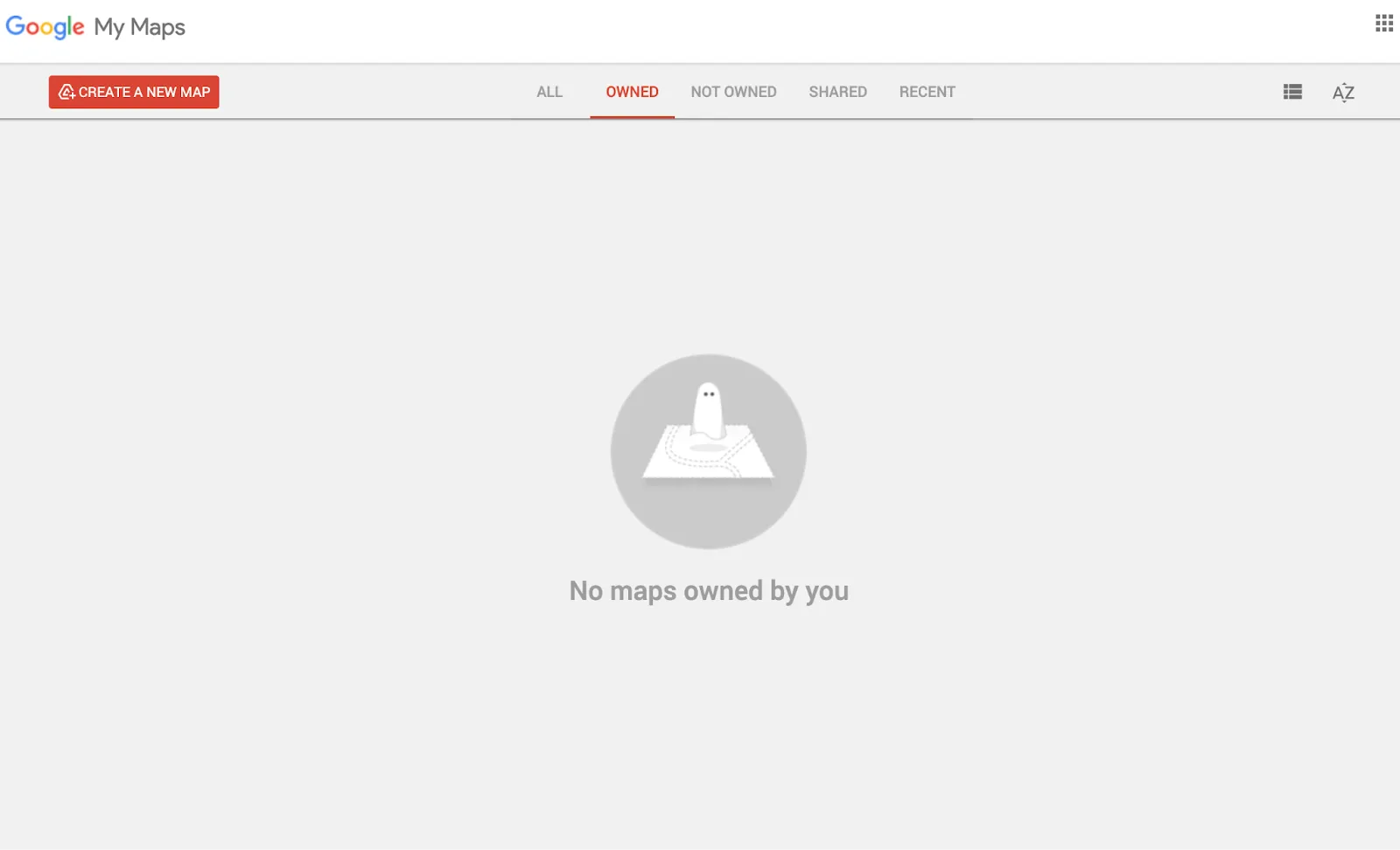
Alt text: A screenshot of the Google Maps “Create a New Map” function, showing no existing maps created in the tool.
Alt text: A screenshot of a map of North America in the Google Maps interface.
- Add and organize layers
Layers help you organize different types of information that appear on your map. You might have one layer for office locations, another for client sites, and a third for routes or regions. Adding map boundaries to each layer helps distinguish zones, while map borders clarify edges of areas or jurisdictions. Select “Add Layer” from the menu and label each based on the information it contains.
Incorporating layers makes it easier to toggle visibility and update Google Maps as your project grows. That way, your data stays clear and structured even as you add more details.
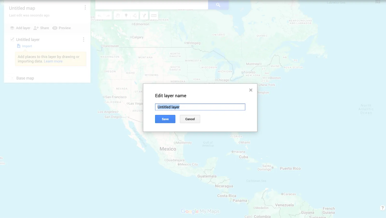
Alt text: A screenshot of the Google Maps “Rename this layer” function.
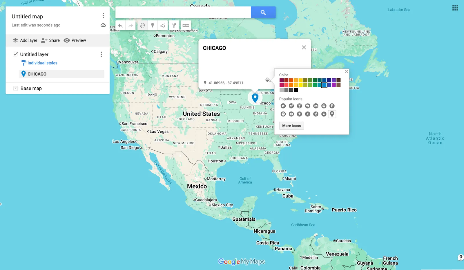
- Place markers, shapes, and directions
Use the marker icon to add locations. You can draw shapes to highlight regions and lines to show directions. You can even show county lines on Google Maps as needed.
Click the icon or shape tool to start drawing directly on your map. Then customize each marker with a title and description.
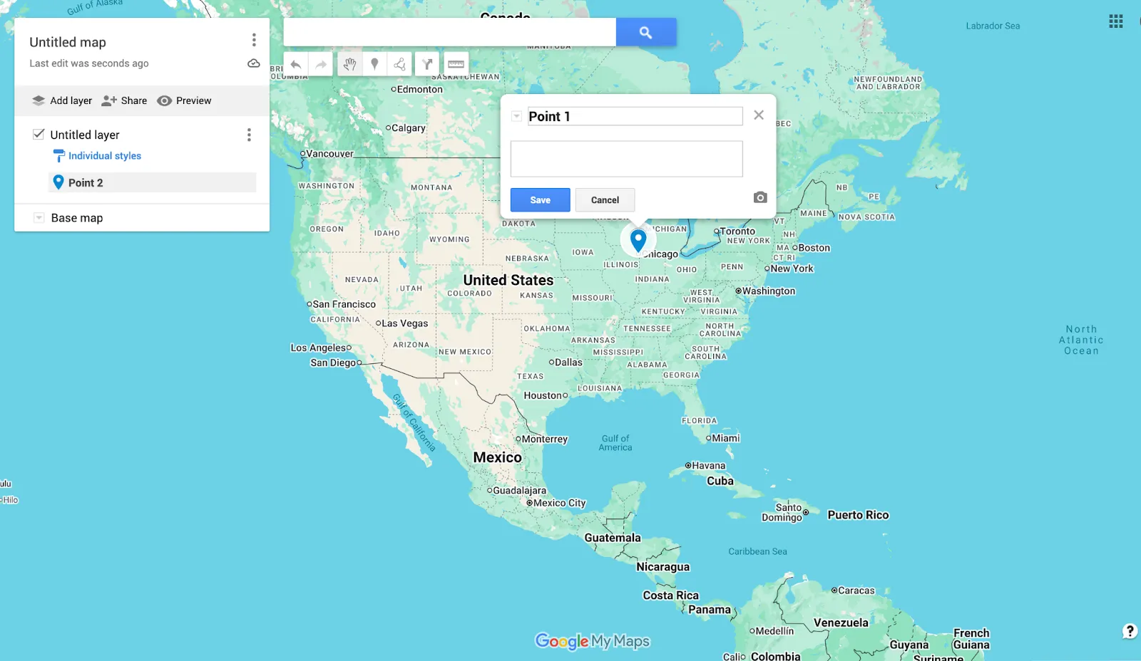
Alt text: A screenshot of the Google Maps “Add marker” function, with options to name the feature and create a description.
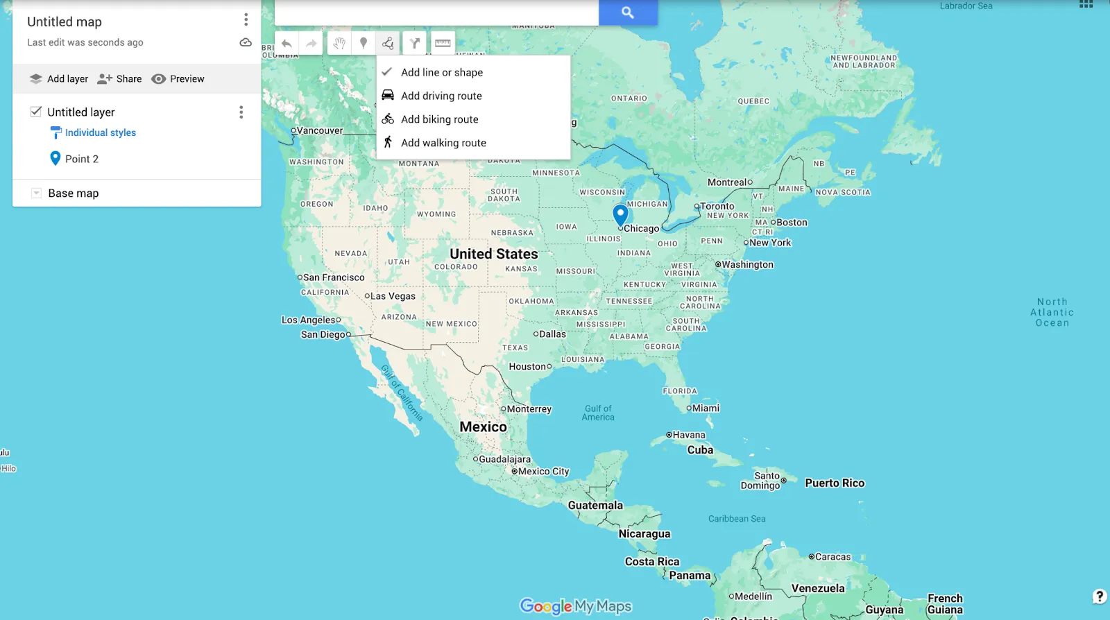
Alt text: A screenshot of the Google Maps “Draw a line” function, with options to: Add line or shape, Add driving route, Add biking route, and Add walking route.
Alt text: A screenshot of the Google Maps “Add directions” function, with space to add multiple driving directions.
- Style your map
Customizing your map’s appearance makes it easier to read. Google Maps lets you change marker colors, icon shapes, and line styles to match your theme. You can also apply base map styles that fit a purpose, like business or environmental projects.
Styling is especially important when sharing maps because clear visuals help teams interpret information quickly and accurately.
Alt text: A screenshot of the Google Maps “Style” function with various Color and Icon choices.
- Save, publish, and share
After finalizing your map, save it, and click “Share” to adjust permissions. You can let others view or edit your custom map. Embed it on a website, send a link, or integrate it with other Google Maps features.
Remember to update Google Maps when new data is added so your team always has current details.
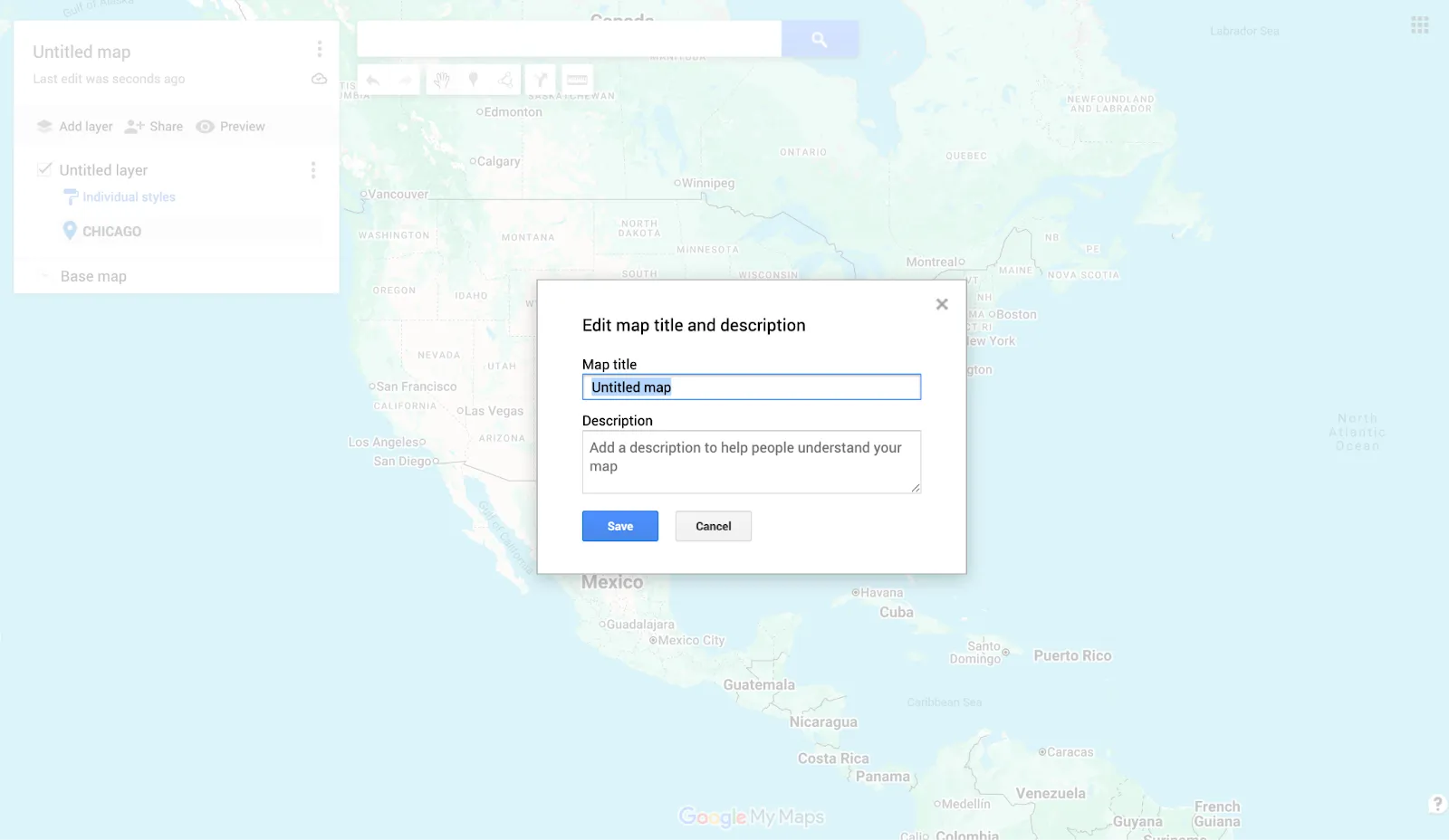
Alt text: A screenshot of the Google Maps “Edit map title and description” function.
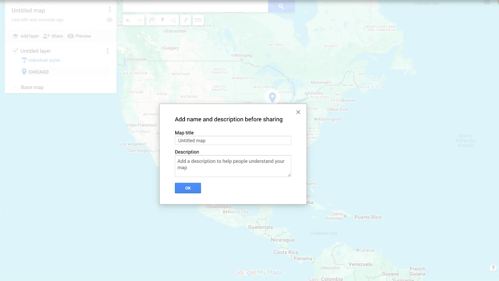
Alt text: A screenshot of the Google Maps “Share” function.
Limitations of Google Maps
Google Maps is useful for making maps with pins. But it has restrictions that hinder collaboration and personalization. Tools like Felt offer more advanced features for teams that need real-time editing and richer design options.
Here’s a look at the limitations you’ll run into when working with Google Maps:
- Limited performance: When your map includes hundreds or thousands of markers, Google Maps becomes slower and less responsive. The app and desktop versions both struggle to manage large data sets, hurting productivity and performance.
- Basic design: Google Maps only offers basic icons, colors, and shapes, which makes designs look plain and harder to read. Without advanced styling and thematic layers, your maps will lack any kind of visual appeal for your team.
- No real-time editing: Because Google Maps doesn’t support simultaneous collaboration, teams can’t draw, update, or edit maps together in real time. This missing feature can slow down workflows and create bottlenecks for bigger projects.
- Poor handling of large data: Large CSV files or extensive location lists often trigger errors and slow load times in Google Maps. Similarly, embedding these data-heavy maps into websites or presentations can reduce performance.
Go beyond the basics: Bring your Google maps into Felt
Although Google Maps can help you get started with creating custom travel maps, it doesn’t have a wide range of functionality. When your projects require enhanced collaboration, real-time updates, and richer visualization, traditional tools tend to miss the mark. Advanced needs call for advanced software to match.
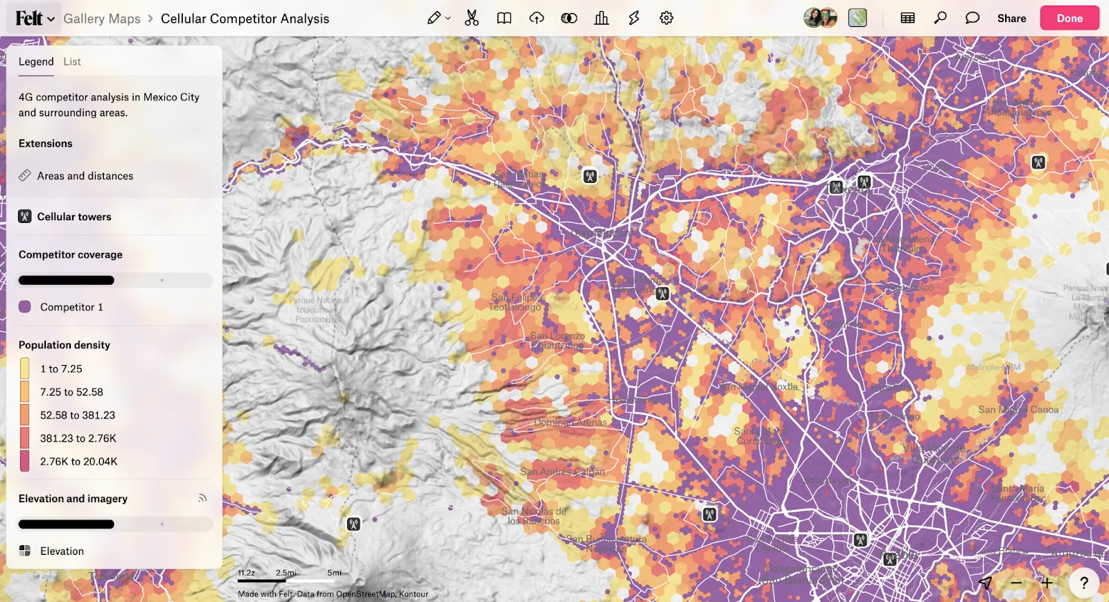
Felt is a collaborative, AI-native GIS platform built for teams. It supports satellite view, interactive layers, and seamless sharing. Across 15 industries, Felt is transforming the way modern enterprises integrate spatial data into decision-making.
Whether you’re a beginner or an enterprise team, Felt makes it effortless to turn data into powerful, interactive maps. Start your next project with Felt and experience the future of mapping today.
FAQ
How can I draw a map in Google Maps?
You can draw a custom map in Google Maps by adding markers, shapes, and lines to indicate locations and routes. Just open a new map, select the drawing tools, and arrange your elements. You can also customize colors and icons to make the map more readable.
What tools are available for Google mapping?
Google offers tools like Google Maps and Google Earth for mapping projects. Each tool allows you to add layers, import data, and customize visuals. The Google Maps app also has basic navigation and location marking on mobile devices.
Can multiple people edit a map together on Google Maps?
Google Maps lets you share a map with others, but it doesn’t support real-time collaboration. Only one person can actively edit at a time, so other users may not see changes instantly. For live teamwork, platforms like Felt come with enhanced collaborative features.
What’s the difference between Google Earth and Google Maps?
Google Earth is more for exploration, while Maps is for building and sharing maps among teams. Google Earth focuses on 3D visualizations of the planet, letting you assess terrain, buildings, and satellite imagery.
Teams use Google Maps to create custom maps complete with layers, markers, and routes. Essentially, it’s a lightweight mapping tool for visualizing and sharing location-based data.
How do I share a map with my team?
In Google Maps, click “Share” to set permissions for viewing or editing. You can generate a shareable link, embed the map in a website, or invite specific team members via email. Adjusting access levels ensures the right people can interact with your map safely.
Compare Felt using AI


.jpg)