When we launched Felt to the public in May of this year, we focused on creating the first map-making product as easy to use and share as Google Docs and Figma. Our launch library of 50+ layers provides users with core data for boundaries, climate, infrastructure, nature & exploration, and science. These were created using a set of powerful in-house tools made by our team. But one of the most consistent requests we’ve heard from Felt users has been: “what about our data?”
We're excited to make those same powerful tools we’ve developed internally available to you so that you can put your data to work in Felt. These tools let anyone work with geodatabases, shapefiles, spreadsheets, and dozens of other sources of spatial information. Felt is the best way make and share maps that incorporate data.
Starting today, users can:
- Upload large files in all popular vector formats up to 5gb in size, and have them render lightning fast in Felt;
- Use our styling system with great hand-crafted defaults for most cases and complete control when needed;
- Edit data with our new sidebar, including the ability to add photos and metadata to pins.
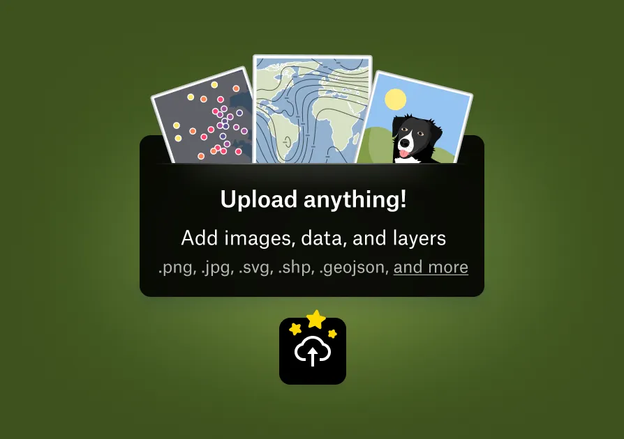
Upload Anything (Up to 5GB!)
Our users have data in a variety of formats: File Geodatabase, Shapefile, Geopackage, KML, GeoJSON, OSM PBF, CSV, and many more. We support them all. Felt’s data upload pipeline accepts files in any common vector point, line, or polygon format up to 5GB in size for inclusion in the map. Our early users are already integrating NOAA-provided hurricane data, industry information for market territories, and their own organizations’ data to use and share maps via Felt. All of our easy-to-use map tools work with your uploaded data. Draw, annotate, upload videos and images alongside your data – it’s all possible with Felt.
Style Quickly & Creatively
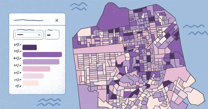
Style your data for clarity with our style editing tools. Our basic style editor includes great-looking presets for the most common map visualizations designed by our expert cartography team. Now you need just seconds to choose a visual style, add editorial context, and communicate your data’s key insights to your audience.

More experienced users can dive right into Felt Style Language — a brand new in-house map styling language — via the advanced editor. You’ll find a fully-featured cartographic design system at your fingertips. Expert users can get their hands dirty with an expressive kit of design controls. Design with confidence by referring to a selection of rows from your data. Start from scratch or view source on any of Felt’s growing catalog of data layer styles for tips on creating special-purpose maps like geology maps or nautical charts.
.webp)
Edit Data with the New Sidebar
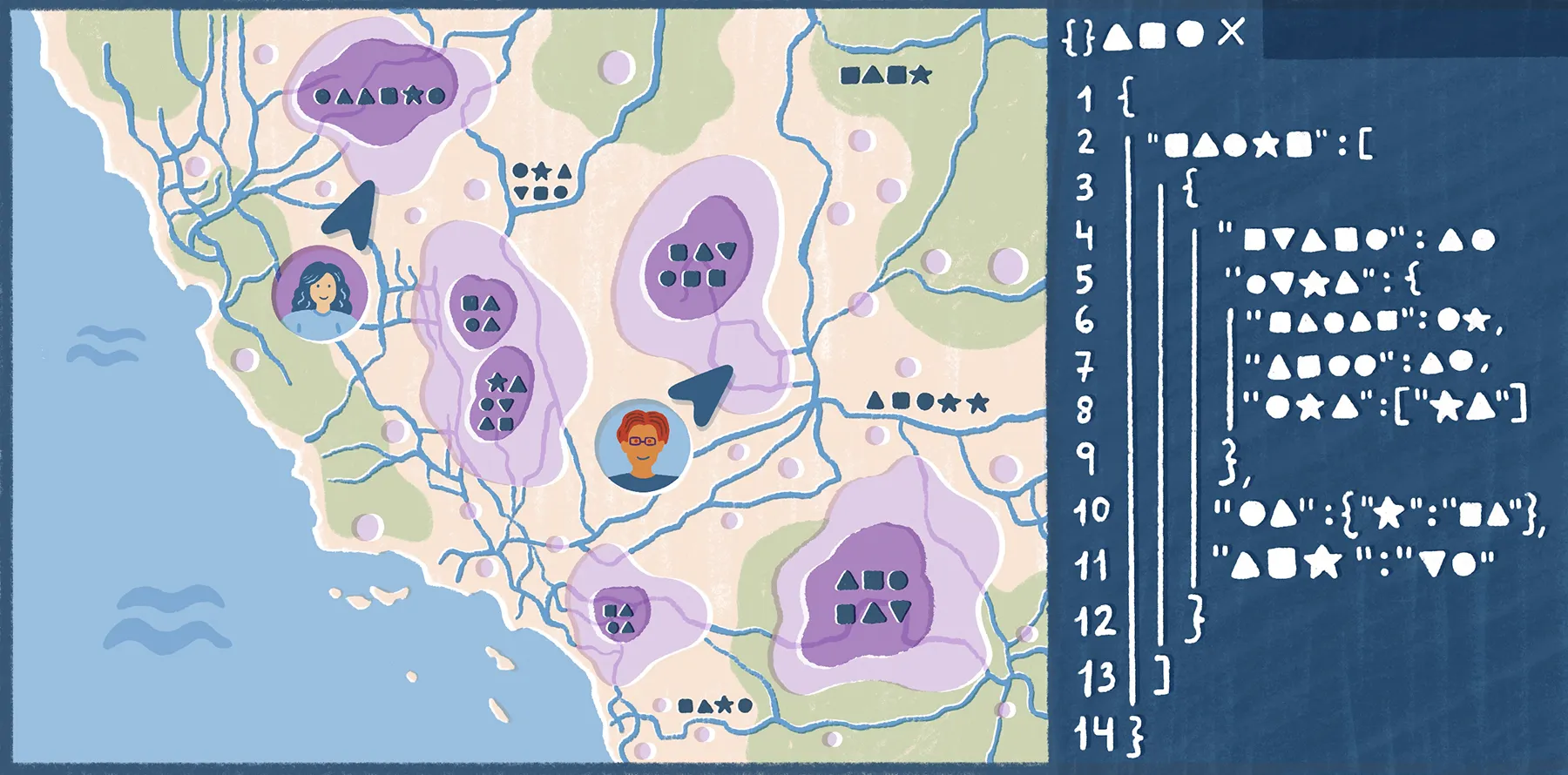
The power of visualizing data on a map does not start and stop with a visualization of points, lines, and polygons. Accessing and storing information is what gives a map real depth. For this reason, we’re introducing a new sidebar where element-related information can be stored and edited.
For the first time, you can now add photos, names, descriptions, and other data to your pins and other elements to create a truly lovely map.
.webp)
Incredibly Powerful, and It Is Just the Start
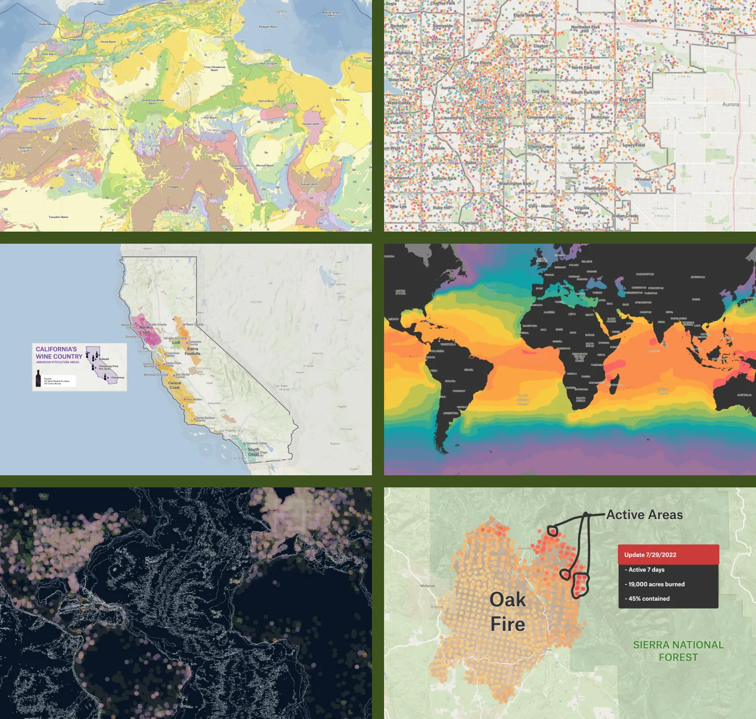
We’ve developed these features alongside some early customers, and have been blown away by the kinds of maps they’ve created. Here’s just a few of our favorites:
What will you do with this new mapping power? Log into Felt, upload a file, and give it a try! Then share your incredible new map with the world.
Alongside this launch, we're increasing our commitment to the open-source community that enables this work. We're overjoyed to announce Erica Fischer has joined our team to continue building Tippecanoe, a best-in-class tile engine. Read more here…
Compare Felt using AI


.webp)