Stream, Index, and Visualize Raster Data from Amazon S3, Google Cloud, or Microsoft Azure with Felt
Mamata Akella
,
Cartographer
•
Tuesday, May 20, 2025
Felt bridges the gap between where your raster data lives and how you use it, providing the world's best-in-class raster infrastructure in one powerful stack.
Felt bridges the gap between where your raster data lives and how you use it, providing the world's best-in-class raster infrastructure in one powerful stack.
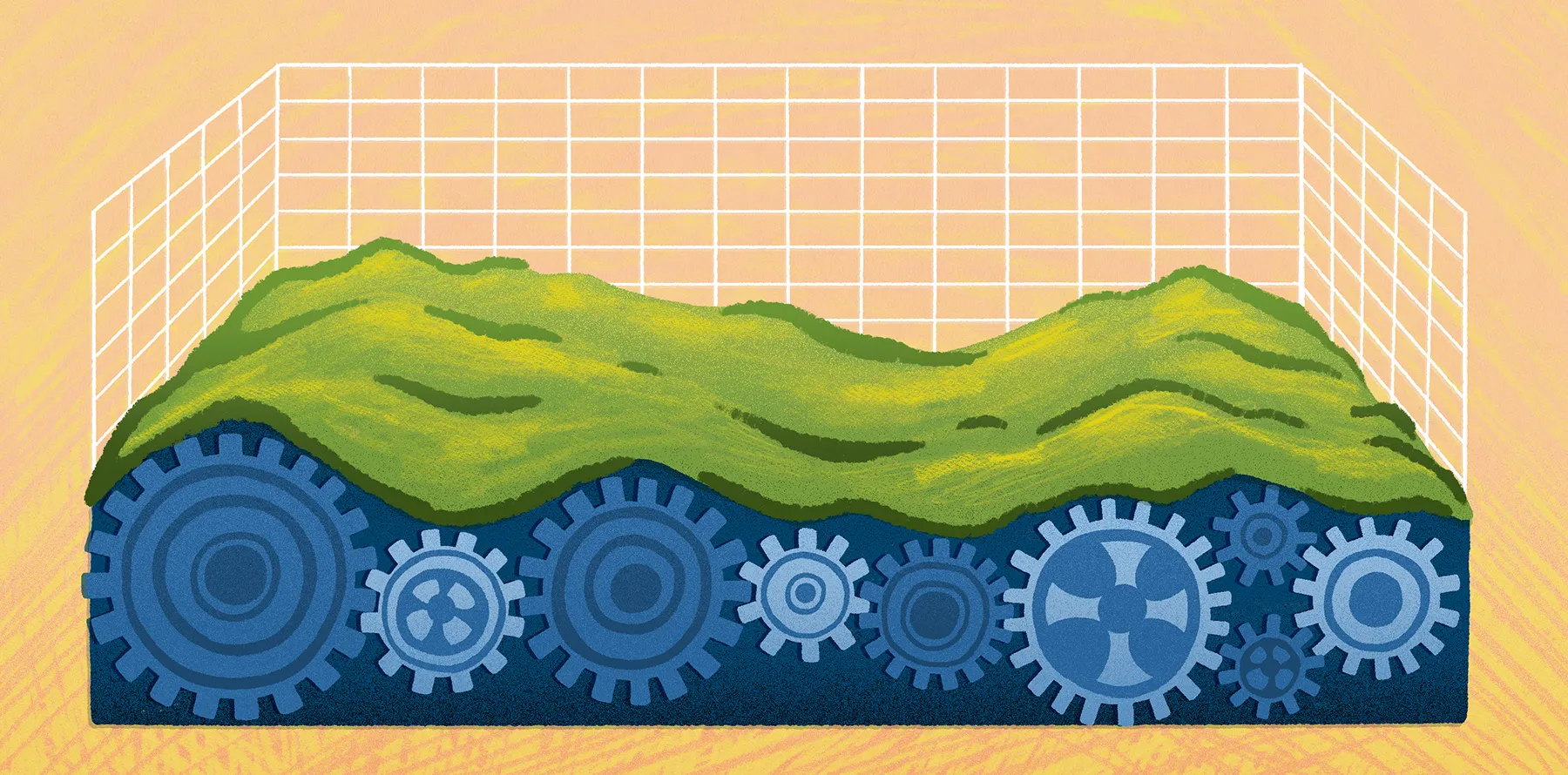
Across sectors like climate, energy, infrastructure, and environmental monitoring, organizations are collecting and storing more raster data than ever before. Terabytes of satellite imagery, terrain models, and sensor outputs now live in cloud storage but for most teams, those assets remain effectively locked away behind disconnected tooling, legacy systems, and manual pipelines.
Even with modern formats like Cloud-Optimized GeoTIFFs (COGs) — specialized files designed for efficient cloud access — turning raster data into an interactive map layer still requires a series of technical steps: indexing large archives, creating metadata catalogs, implementing tile servers to extract the internal structure, and rendering efficiently in the browser. It's a brittle workflow dependent on custom scripts, pieced-together tooling, and constant infrastructure upkeep.
Felt's raster infrastructure eliminates that complexity, making it simple to start working with your data immediately.
By connecting data discovery to visualization, Felt bridges the gap between where your raster data lives and how you use it. Transform your cloud storage into a searchable spatial catalog, connect to your existing Spatio-Temporal Asset Catalog (STAC), and stream Cloud-Optimized GeoTIFFs directly to your maps.
Whether your raster data is in a cloud bucket or in STAC format, Felt will automatically index your raster data for an optimized browsing experience.
No matter which path you choose, Felt transforms your data experience through intuitive spatial browsing, powerful metadata filtering, instant visualization, and seamless collaboration — all without uploading, infrastructure management, or custom code. What traditionally required weeks or months of engineering now takes minutes.
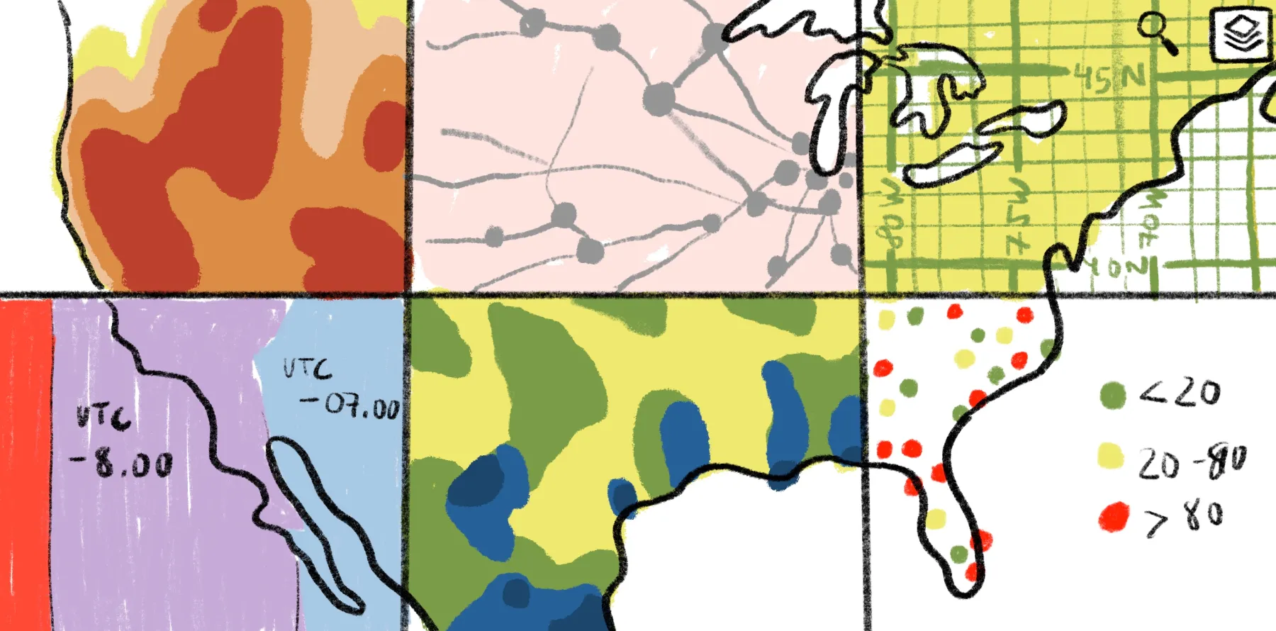
Felt's regex metadata filtering parses file paths to automatically extract and filter your raster catalog by specific attributes like capture type and date, streamlining data discovery.
"With Felt's raster infrastructure solution, we eliminated a year of custom development and maintenance." - Associate Director, Amy Wolkowinsky
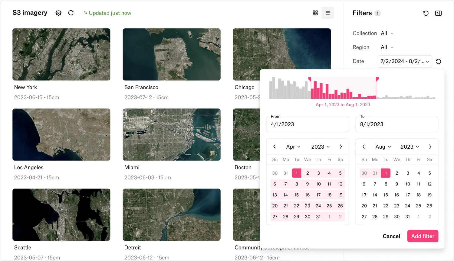
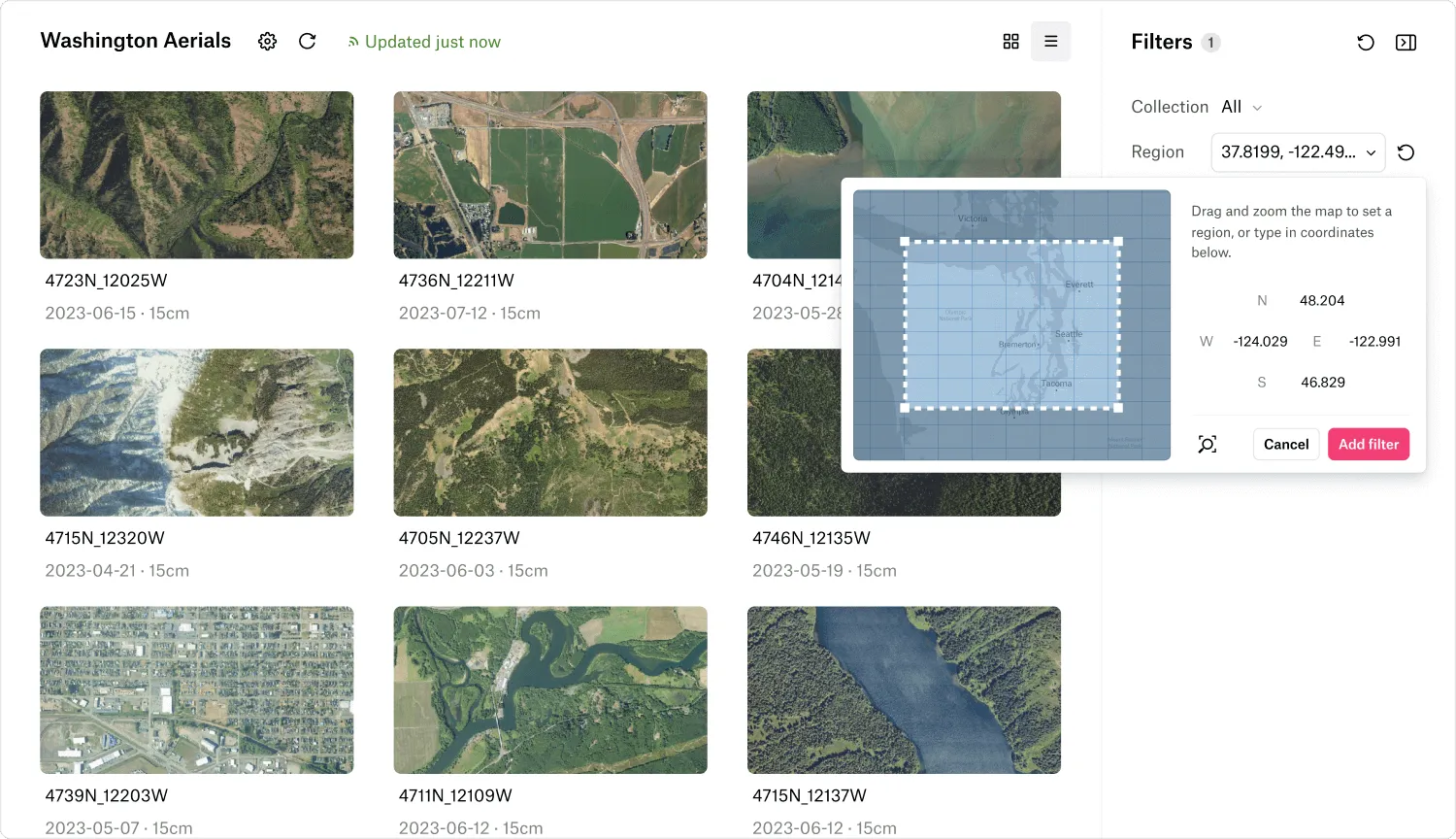
No matter how you store your raster data, Felt offers connection options designed to fit your workflow. Connect your AWS S3, Google Cloud Storage, or Azure Blob to Felt and watch as your raw cloud storage is transformed into an intelligent spatial catalog with:
Secure authentication with your private buckets
Automatic transformation of your existing bucket structure into a comprehensive catalog that's searchable and filterable by location, date, metadata and more
Live synchronization that keeps your index updated as you add or modify files
Zero infrastructure overhead—no databases to maintain or servers to configure
What used to require specialized knowledge and weeks of development work now takes minutes of configuration. Felt does the hard work of building and maintaining your spatial catalog so you don't have to.
STAC integration support
Already have a STAC? No problem - Felt fully supports the STAC standard, bridging the gap between data discovery and visualization:
Browse your entire catalog by location, date, and custom metadata
Filter collections by any criteria
Preview and select the exact assets you need
Move directly from discovery to visualization in a single workflow
While many STAC implementations primarily focus on catalog browsing and providing access to data assets, Felt directly connects discovery to visualization. Find what you need and instantly see it on the map with Felt's advanced raster rendering and styling capabilities.
Stream Cloud-Optimized GeoTIFFs
Felt's raster rendering engine now connects to externally hosted Cloud-Optimized GeoTIFFs. This means you can:
Connect directly to COGs hosted anywhere without downloading or duplicating them
Visualize gigabyte-scale raster datasets with instant rendering and responsive performance
Apply Felt's powerful visualization tools to your streamed data, including dynamic hillshading, categorical and numeric visualizations, and raster algebra calculations like NDVI
With streaming COGs, there's no need to create duplicate copies of your data or manually process files before visualization. Connect once, visualize anything.
Connect, index and visualize your raster data in the cloud
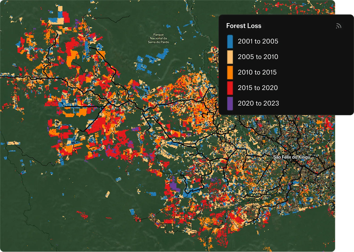
Once in Felt, it's a single click to apply dynamic styling for continuous and categorical data, generate hillshade or perform NDVI, NDWI, and NDMI analysis.
The true power of Felt's approach is how these capabilities work together with our established raster visualization tools:
Connect your cloud storage, existing STAC catalog, or individual COGs to establish secure access
Index your data automatically to create a searchable, browsable asset catalog that you can quickly filter by location, date and other metadata
Visualize with Felt's complete raster toolset with dynamic styling for continuous and categorical data, hillshade generation, and analysis tools for indices like NDVI, NDWI, and NDMI
From multi-gigabyte elevation models rendered as beautiful hillshades to satellite imagery transformed with vegetation indices, Felt's raster infrastructure brings powerful visualization capabilities to your entire raster library. It's not just another visualization tool—it's a complete rethinking of the raster data workflow.
Streaming COGs in action: NAU & Arizona Department of Forestry and Fire Management
Northern Arizona University's EcoMonitor streams terabytes of real-time raster data into the hands of the Department of Forestry and Fire Management to take action.
Researchers at the Northern Arizona University rely on raster data heavily to detect potential fire risk early. But making hundreds of terabytes of raster data available to the Arizona Department of Forestry and Fire Management to use day-to-day, presented a challenge. But Felt’s raster infrastructure solution made it easy.
"With Felt's raster infrastructure solution, we eliminated a year of custom development and maintenance," says Associate Director, Amy Wolkowinsky. "Now we can stream terabytes of our model output data on critical plant stress into a dashboard where it’s instantly visualized for the teams at the Department of Forestry and Fire Management to take action.”
The world-class raster experience is here
Whether you're working with a few strategic datasets or managing an enterprise-scale raster archive, Felt eliminates the technical complexity that has traditionally separated storage from visualization. Connect once, and turn your cloud storage into a powerful, map-ready platform with zero infrastructure or engineering lift. Felt liberates your entire raster workflow — from data discovery and organization to visualization and collaboration.
Ready to transform how your team works with raster data? Get started instantly with Felt today. Reach out to our team to learn more.
"With Felt's raster infrastructure solution, we eliminated a year of custom development and maintenance."


.webp)


.webp)