

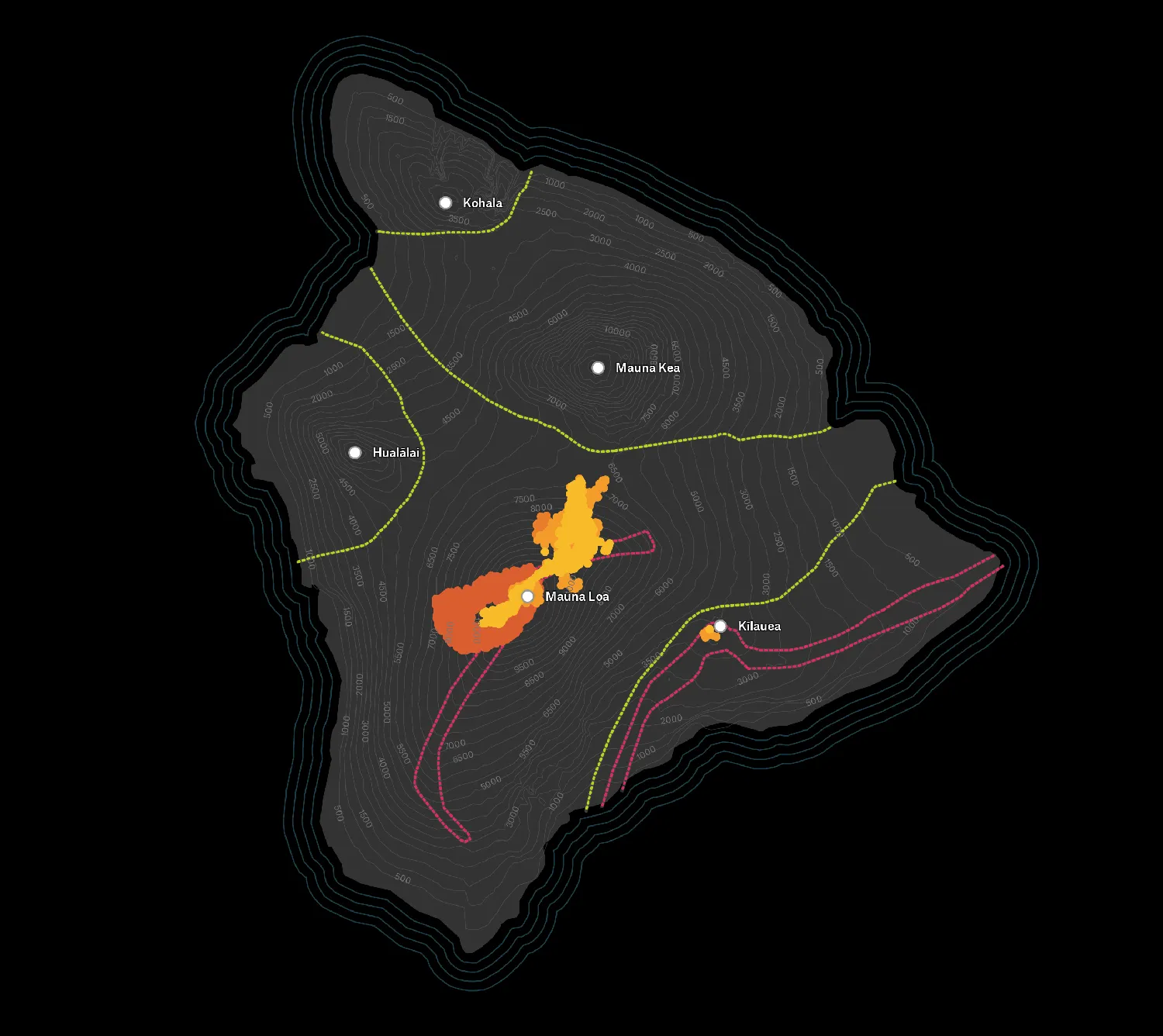
When we began building Felt, we created the fastest, simplest, and most beautiful map-making tool that we could think up. Since then, we’ve been amazed at the truly incredible projects that our users have crafted. It’s been a dream to watch.
Today we are responding to another call: professional teams want to use Felt! Teams love the intuitive interface, easy data visualization, and the built-in ability to collaborate. We’re excited to announce a slew of powerful new features that help you create maps with more control than ever.
Take control of the basemap
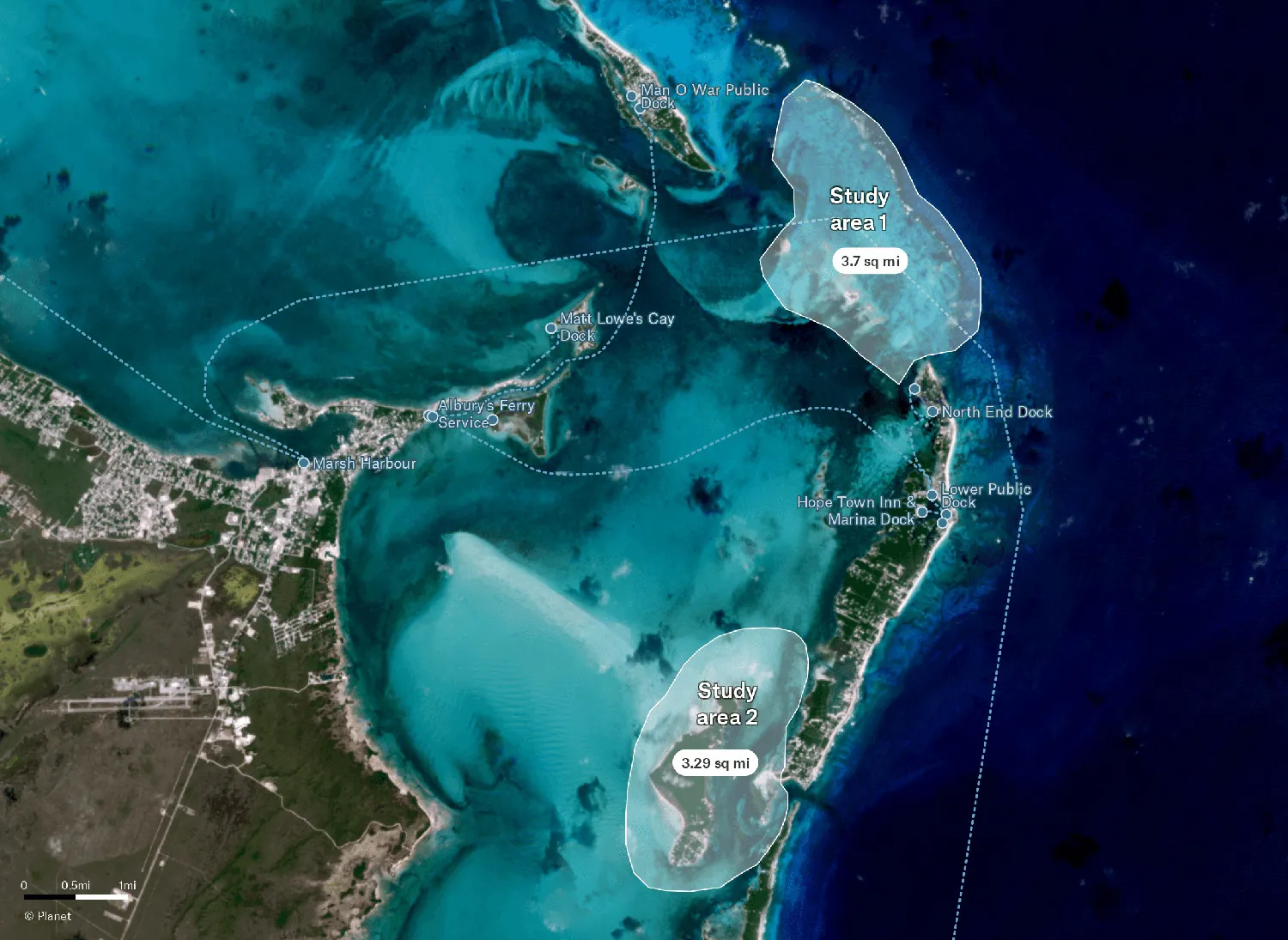
The basemap is the foundational component for a map. It drives the context, geographic features, and brand of what you’re making. Every organization is different, so today we’re giving you the ability to bring your own basemaps directly into Felt.
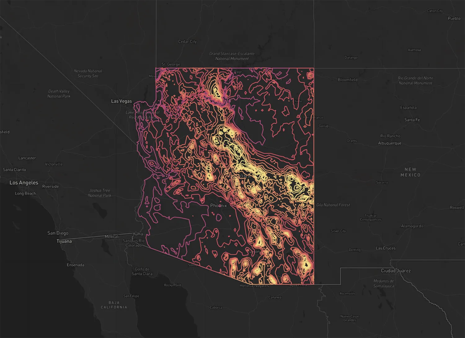
Felt’s annotation and collaboration features bring a whole new dimension to the data that you already have, with no extra effort. Tiles from Mapbox Studio, custom imagery from satellite companies like Planet, municipal aerial imagery tiles hosted on ArcGIS, or any other kind of tile server utilized by your client or organization: add any of them to a Felt map and get to work. Stop building custom applications – unblock your team by giving them the data you’ve already built or purchased alongside our easy-to-use tools.
Don’t have a custom basemap already? Check out Mapbox Studio or maptiler where you can customize your own basemap and bring it right into Felt.
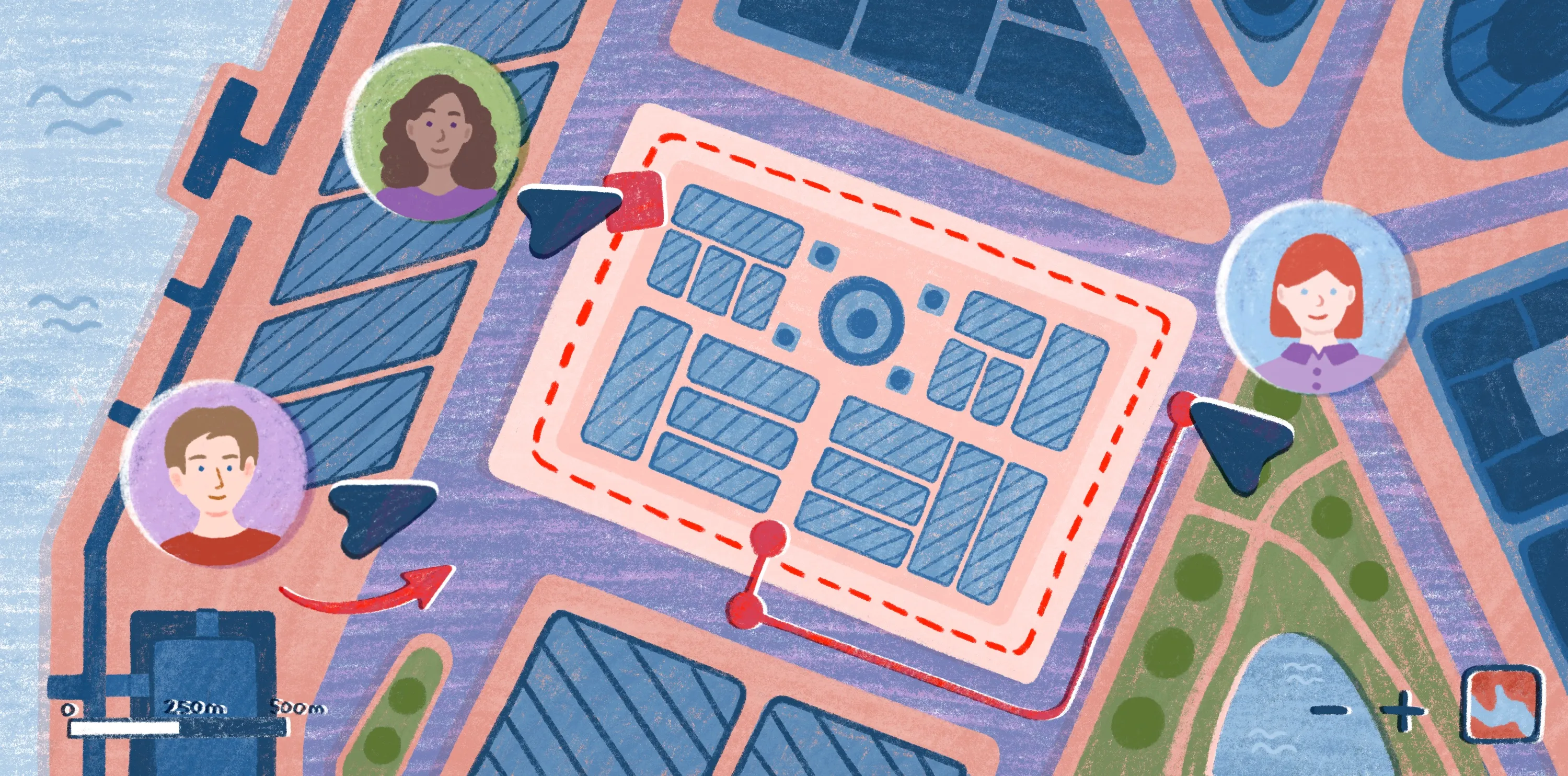
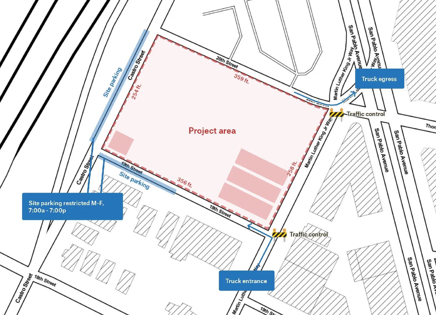
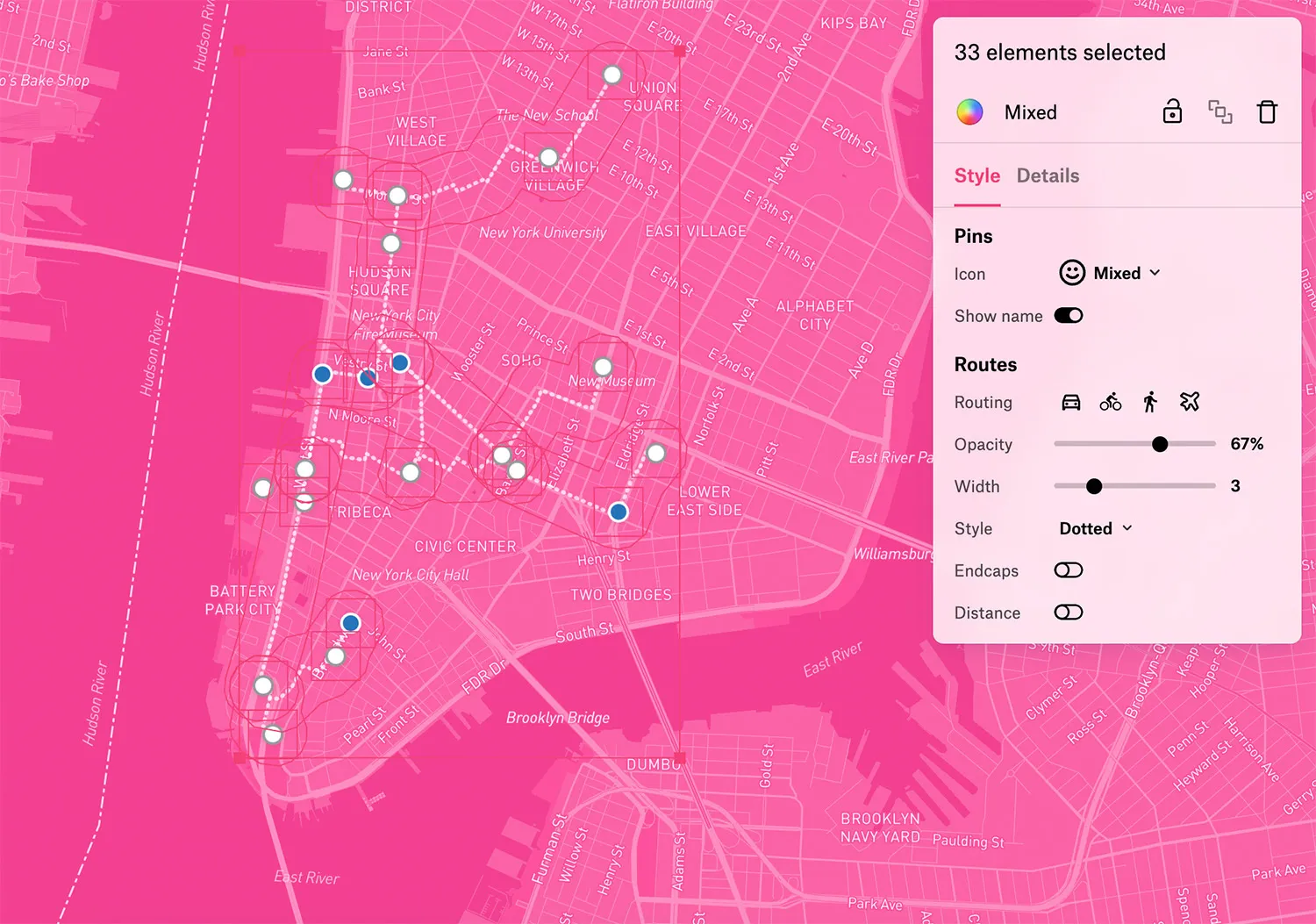
Styling: Your colors, more options
Make your maps shine. Whether it’s dotted or dashed lines, custom line weights, your brand’s colors, route endcaps, or fill opacities, we’ve added a ton of new options to take full control over how your map elements are presented. Communicate the right things with the right design.
Use layered opacities and styles to create technical visuals.
Export beautiful, high-res visuals for print
Take your maps offline with Felt’s new exports, generating bright and beautiful PNG and PDF downloads of your maps. Include high-res maps in your next report alongside tables and charts, or print to use offline.
Upload and style your own data
In case you missed it: we recently added the ability to easily upload and style your own data, which has unlocked a new world of data in Felt. These new updates give your team full control over how everything in your maps looks, from basemap to data to annotations. Creating high-impact maps for your team has never been easier.
Sign up for Felt and give our new styling features a try!
If your team is interested in talking with us about using Felt, reach out to support@felt.com — we would love to hear your feedback and learn about your use cases!
Compare Felt using AI


.webp)
