


Foster, Green & Brown, an affordable housing consultancy based in the UK, helps house builders identify and assess residential development sites across the country's complex planning landscape. With 320 different local authorities each having unique planning policies, the team needed to quickly understand planning situations, technical constraints, and financial viability for potential sites.
Before Felt, the company struggled with multiple mapping platforms that made it difficult to know where specific site information was stored. "We did have several platforms, which was making it difficult to know where we were keeping specific information on specific sites," explains Andy Rhodes, founder at Foster Green & Brown. The cost of managing and maintaining these systems was increasing, and information sharing with clients lacked visual consistency.

The solution came when Foster Green & Brown discovered Felt's cloud-native GIS platform. "What was different about Felt is that I could use it right away," Andy recalls. Despite being "completely non-technical" and unable to code, Andy found Felt's interface user-friendly enough to quickly work out solutions to problems they'd faced in the past.
The AI functionality proved particularly transformative. Andy used Felt AI to build features like a base layer toggle switcher and site sourcing filters—capabilities that would have required significant technical expertise previously. "I am good at asking questions, and I do know how to prompt in the right way, but that's as far as it gets. So, give it a go."
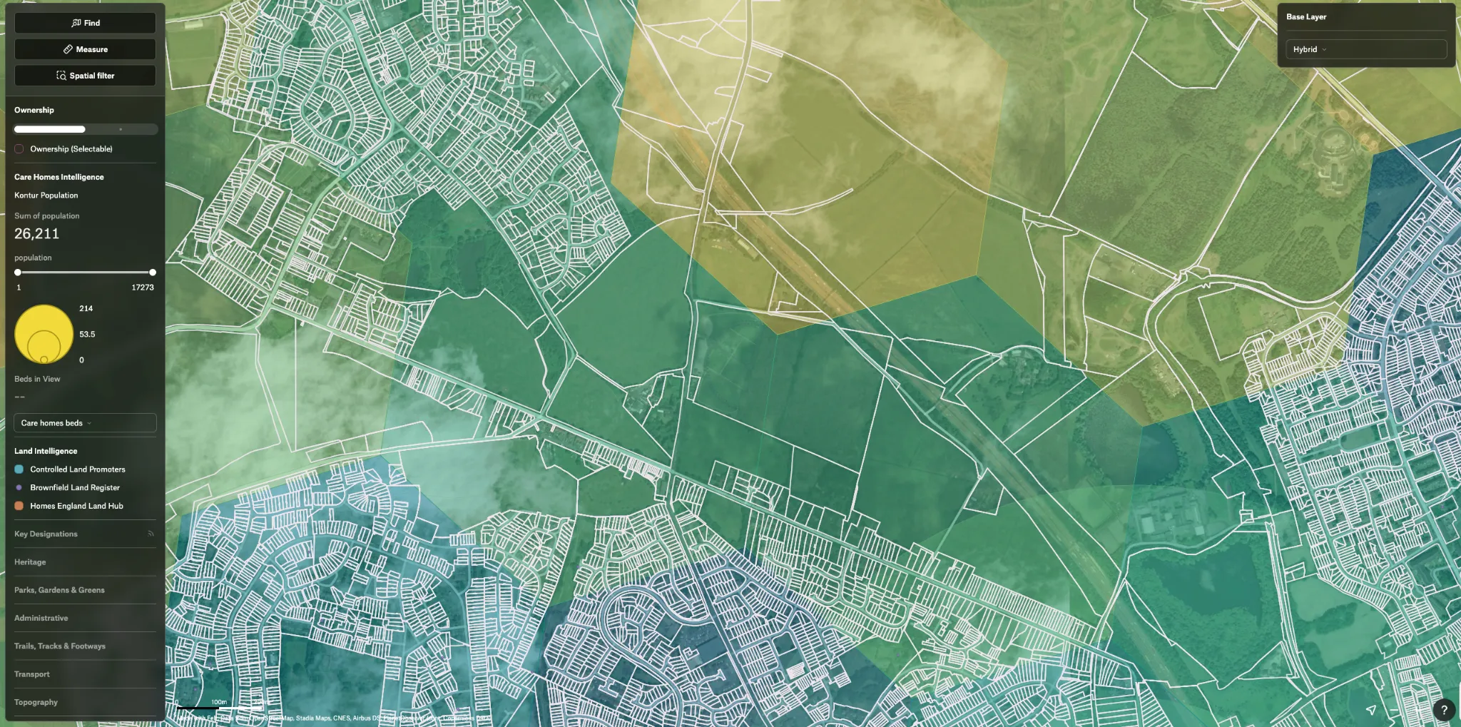
Felt enabled Foster Green & Brown to consolidate several mapping systems into one platform while dramatically accelerating their site assessment process. The team can now quickly evaluate sites against specific criteria in under 10 minutes, checking everything from green belt designations and flood risk to geological fault lines and historical mining data.
"I've thrown thousands and thousands of different data sets at Felt and it works every time," Andy shares. The platform's styling capabilities ensure maps "always look super impressive" and maintain professional consistency when sharing with clients.
The streamlined workflow has eliminated the need for a full-time subcontractor who previously managed their bespoke mapping systems, while enabling non-technical team members to contribute effectively to site analysis.
