


Pillar, a software company that automates land acquisitions for institutional development projects across the United States, faced a critical challenge: how to demonstrate their capabilities to diverse customers across different asset classes and markets. Each prospect had unique requirements—from retail chains needing specific demographic and traffic criteria to residential developers requiring different zoning and topography analysis.
Before Felt, Pillar's team manually analyzed everything on local computers and compiled visual prototypes from scratch for each prospect. "If we had a new retail customer come in with a new type of query they wanted to run against the data that we had," Dylan explains, this process required pushing meetings out weeks while they built custom examples.
Felt became Pillar's answer for scaling personalization. The platform made it "incredibly easy to click a button and just have maps show up from lots of information" they were aggregating. This allowed them to offload boilerplate work like styling, file conversion, and user experience design.
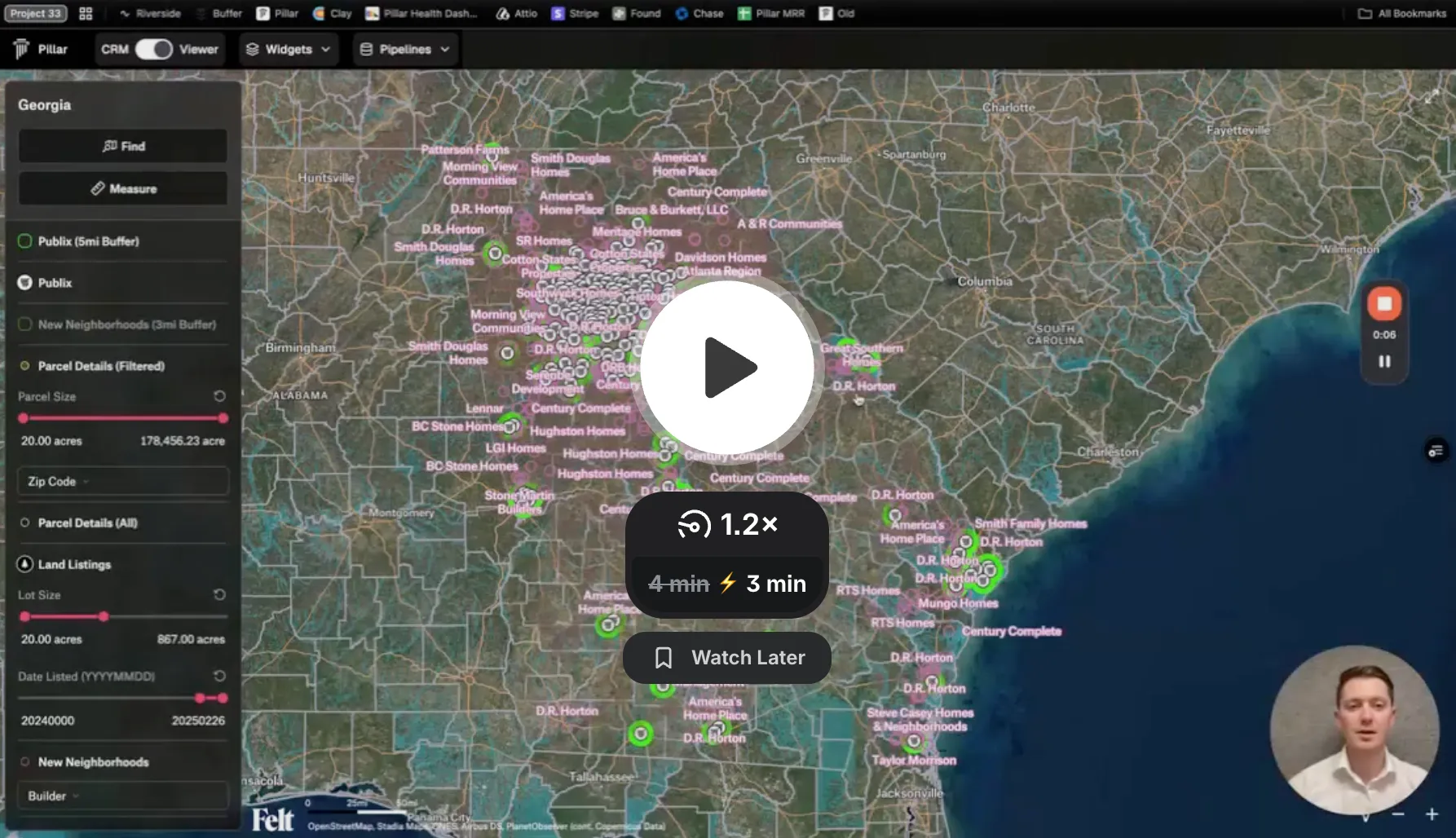
For example, when a retail customer approached them about Publix grocery store locations in North Carolina with specific requirements (minimum 10 acres, 3+ miles from existing stores, 15,000+ daily traffic, $70,000+ median income), Pillar was able to aggregate data from dozens of sources and present it as a cohesive visual analysis within hours rather than weeks.
The results were immediate and dramatic. Within four weeks of adopting Felt, Pillar doubled their monthly recurring revenue. The platform eliminated the need to push off customer meetings, allowing them to create high-quality prototypes and get yes/no decisions from prospects much faster.
More importantly, Felt enabled Pillar to build a comprehensive library of analysis examples. "We're sitting on a catalog now of all of these examples," Dylan notes, covering everything from data centers to retail, multifamily to single-family residential projects. When new customers approach them, they can quickly reference existing examples and demonstrate relevant capabilities immediately.
"Offloading that boilerplate work into felt unlocked a ton of capacity from us as a small team," Dylan explains. This freed up resources to grow their customer base, work with more clients, and continue pushing the boundaries of their platform's capabilities through continued experimentation with Felt.
