Specifically designed to address the unique challenges of the transportation sector

Make your source-of-truth accessible to those who rely on it daily.


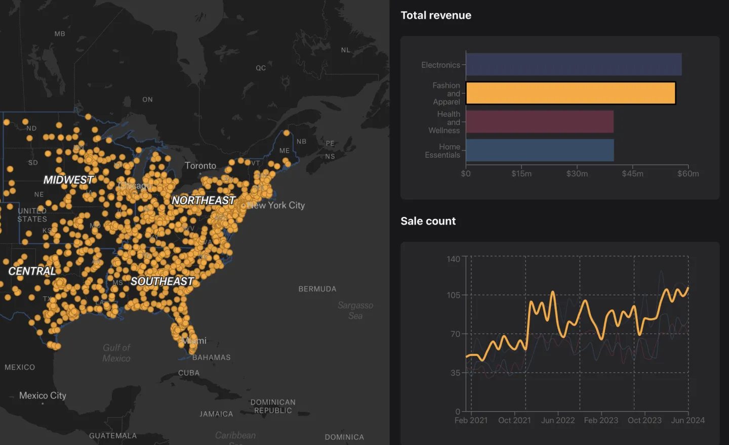
You optimize route scheduling by using route optimization and route planning tools that analyze distance, traffic, and constraints to generate optimized routes for your fleet, improving efficiency and reducing delays.
Effective routing software should offer automated route optimization, real-time visibility into routes, an easy-to-use route planner, and seamless integrations with modern mapping and planning software so teams can build and adjust optimized routes without heavy GIS workflows.
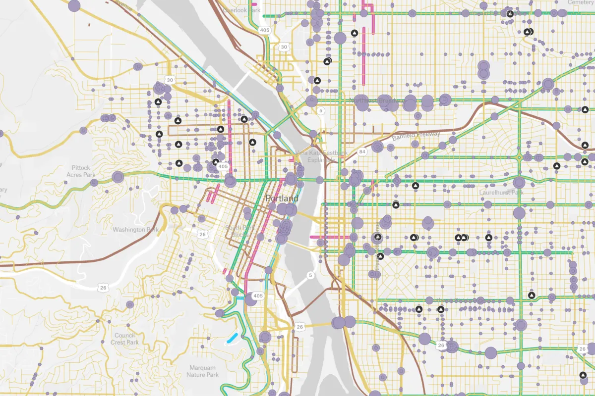
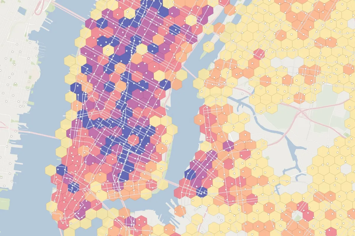
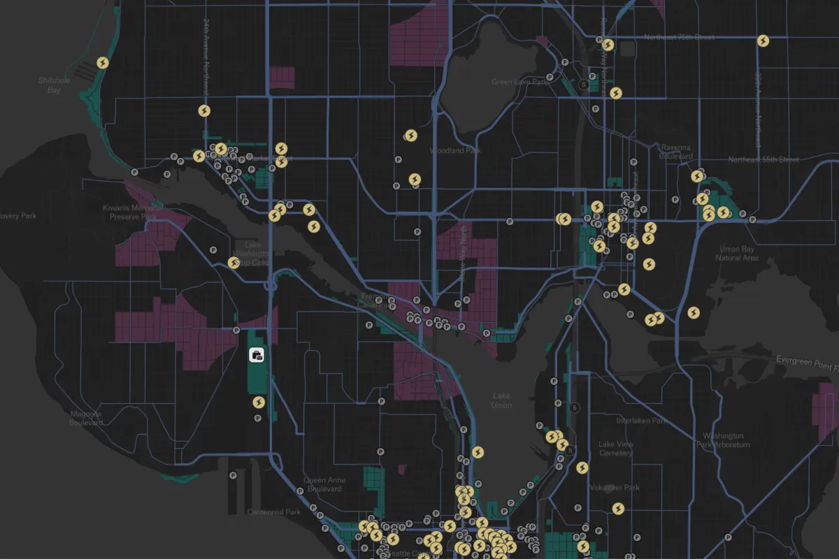
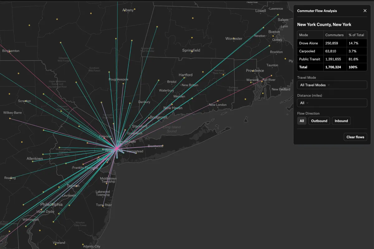
Transportation mapping relies on data from GPS devices, traffic feeds, road network datasets, and route planner outputs that support accurate route planning and smarter optimized routes.