← Explore data
Region
Hawaii
23 ready-to-map datasets for Hawaii, from ZIP codes and city boundaries to power lines, hospitals, and hazards. Open any one as a live map, then put your own data on top and share it.

Airports in Hawaii
39 airports across Hawaii, including major hubs like Daniel K. Inouye International Airport, are featured in this GIS dataset for aviation professionals.

Cities in Hawaii
161 Hawaiian cities, including Urban Honolulu and Hilo, detailed in this GIS dataset, perfect for regional planning and analysis.

Congressional Districts in Hawaii
Hawaii’s Congressional Districts 1 and 2 are mapped in this dataset, featuring extensive land and water area details for GIS analysis.

Counties in Hawaii
All five counties of Hawaii, including Honolulu and Maui, are detailed in this GIS dataset, covering aspects like land area and water bodies.

Earthquakes in Hawaii
192 recorded earthquakes in Hawaii, featuring detailed attributes like magnitude, depth, and location, are included in this GIS dataset for professionals.

Electric Vehicle Charging Stations in Hawaii
117 Electric Vehicle Charging Stations across Hawaii are detailed in this dataset, featuring access times, types, and network links. Perfect for infrastructure mapping and planning.

Greenhouse Gas Emissions in Hawaii
28 facilities in Hawaii reported greenhouse gas emissions for 2020, including detailed data on CO2e metrics, facility names, and locations, available for GIS analysis.

Hospitals and clinics in Hawaii
41 hospitals and clinics across Hawaii offer comprehensive medical services, including emergency care and 24/7 availability, detailed in this dataset.

Libraries in Hawaii
Access 46 libraries across Hawaii in this dataset, each entry including details such as address, operator, and internet access facilities. Ideal for public resource management.

Lighthouses in Hawaii
Fourteen historical lighthouses in Hawaii, including landmarks like Makapu'u and Diamond Head, are detailed in this dataset for GIS professionals.

Plant Hardiness Zones in Hawaii
Nine detailed plant hardiness zones for Hawaii, each classified from 9b to 13a based on temperature ranges, available for GIS analysis.

Power plants in Hawaii
Access 55 detailed entries on power plants in Hawaii, including wind and solar facilities, with comprehensive data on capacity and generation history.

Railway Tracks and Stations in Hawaii
18 railway-related features in Hawaii’s GIS dataset, including tracks and stations like the Honolulu High-Capacity Transit Corridor and Koʻolina Station. Ideal for transportation and tourism mapping projects.

Roads in Hawaii
1012 roads in Hawaii’s dataset, featuring types like motorways and trunk roads, detailed with specifics such as surface type, lane count, and lighting. Ideal for comprehensive transportation planning.

State Boundaries in Hawaii
Access the Hawaii State Boundaries dataset with comprehensive details including land, water areas, and geographical coordinates. Perfect for regional analysis and planning.

Trails, tracks & footways in Hawaii
414 trails, tracks, and footways in Hawaii, suitable for activities like hiking and mountain biking. This dataset features various surfaces and accessibility options.

US Drought Monitor in Hawaii
Three drought severity levels mapped across Hawaii in this US Drought Monitor dataset, detailing area and perimeter for each category.

US Electric Power Transmission Lines in Hawaii
Four high-voltage transmission lines in Hawaii, all in service and detailed with voltage levels and ownership, are cataloged for GIS analysis in this dataset.

US Public Schools in Hawaii
167 public schools in Hawaii are catalogued in this dataset, providing vital data like addresses, city names, and ZIP codes for GIS analysis.

Volcanoes in Hawaii
21 active and dormant volcanoes, including Mauna Loa and Kīlauea, are detailed in this Hawaii dataset, covering types and elevations. Perfect for geological analysis and educational purposes.

Wildfires in Hawaii
Two detailed wildfire perimeters in Hawaii, featuring the "Mana Road Fire" and "BOX ON FIRE", provide key data for GIS analysis in environmental and disaster management projects.
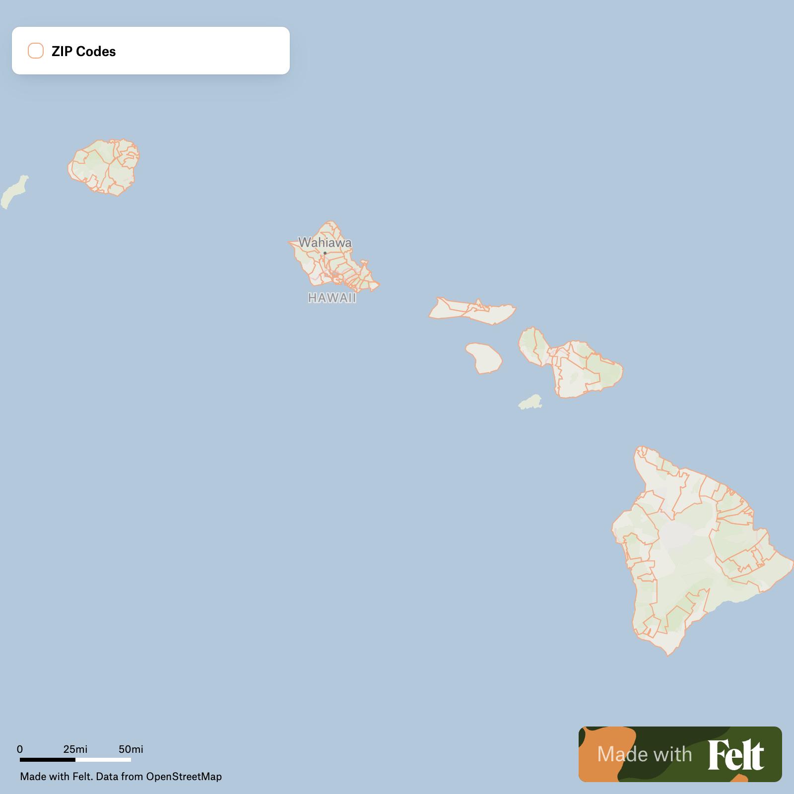
ZIP Codes in Hawaii
Counties and cities
Data for places in Hawaii
1 places- Honolulu County
- US Electric Power Transmission Lines
Try Felt
Bring your data, see it on the map
Connect a database or drop in a file and see your data live on a map in minutes.