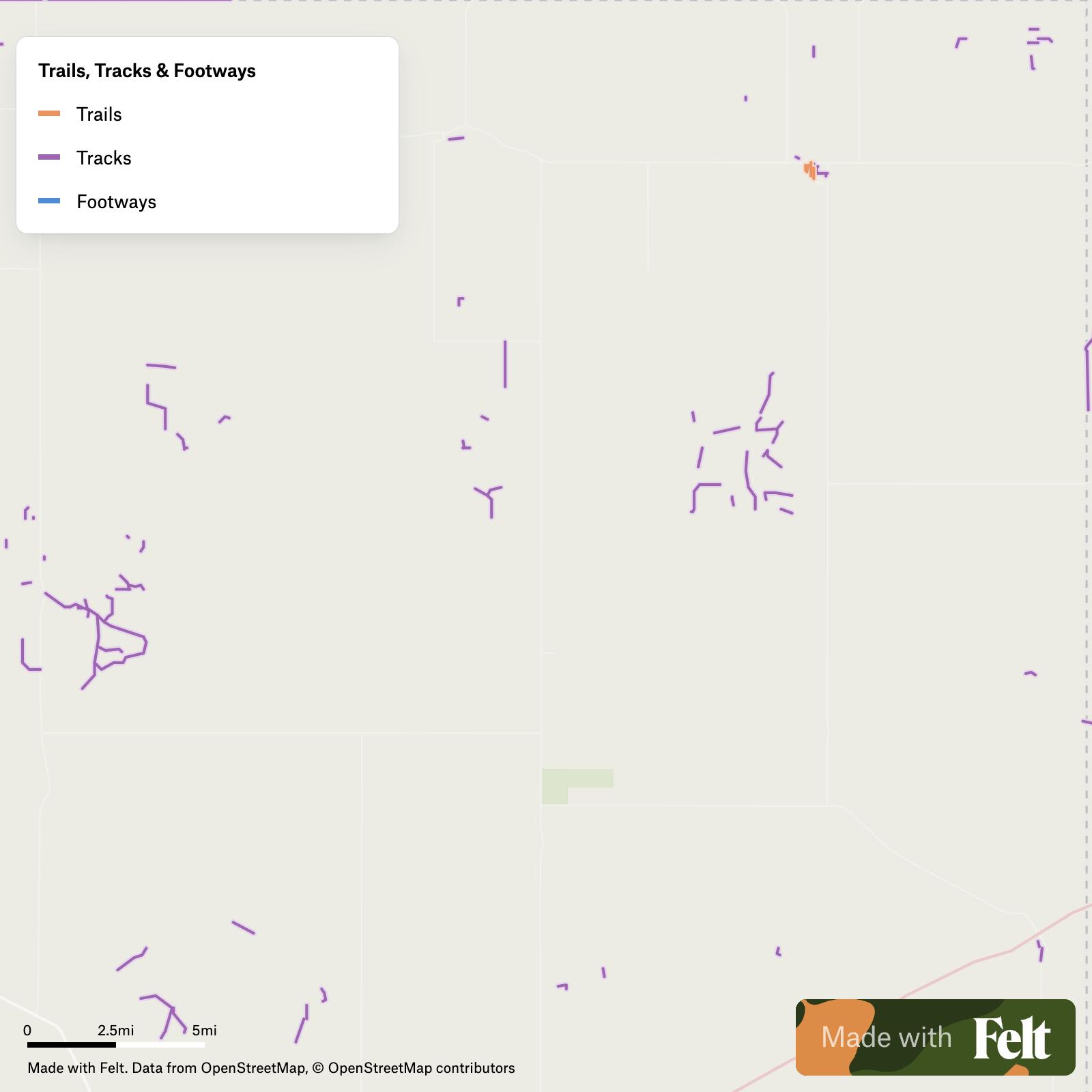
Trails, tracks & footways in Lipscomb County, Texas
Trails, tracks and footways mapped across Lipscomb County, Texas, including E0350 Road, Frazier Avenue and N1380 Road, for local route and access planning.
Make this map yours
Open it in Felt to style, filter, and analyse the data, or export it as a GeoPackage.
Open the map →Customize this map freeAbout the map
With our Trails, tracks & footways in Lipscomb County, Texas dataset, you can enrich your GIS projects with detailed geographic insights specific to the region. Streamline collaboration among GIS professionals with Felt’s cloud-based sharing and collaboration features. Explore our dataset of Trails, tracks & footways in Lipscomb County, Texas in Felt, your comprehensive source of GIS data.
The Trails, tracks & footways dataset for Lipscomb County, Texas encompasses features such as:
- E0350 Road
- Frazier Avenue
- Hollow N1434
- Hollow N1425
- N1380 Road
- Hollow N1410
- Hollow N1400
After registering for your Felt account, access your personalized interactive map presenting Trails, tracks & footways in Lipscomb County, Texas. Utilize versatile tools to modify, analyze, and export data in GeoPackage format. Furthermore, explore our rich archive of pre-assembled GIS data, presenting a multitude of supplementary datasets curated for Lipscomb County, Texas.