CartographerFeltCategoryEnergy and utilities
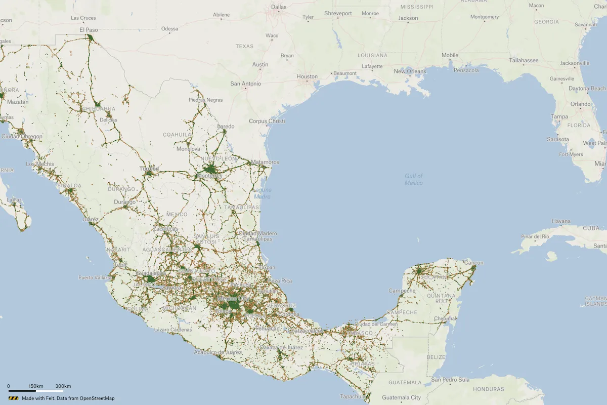
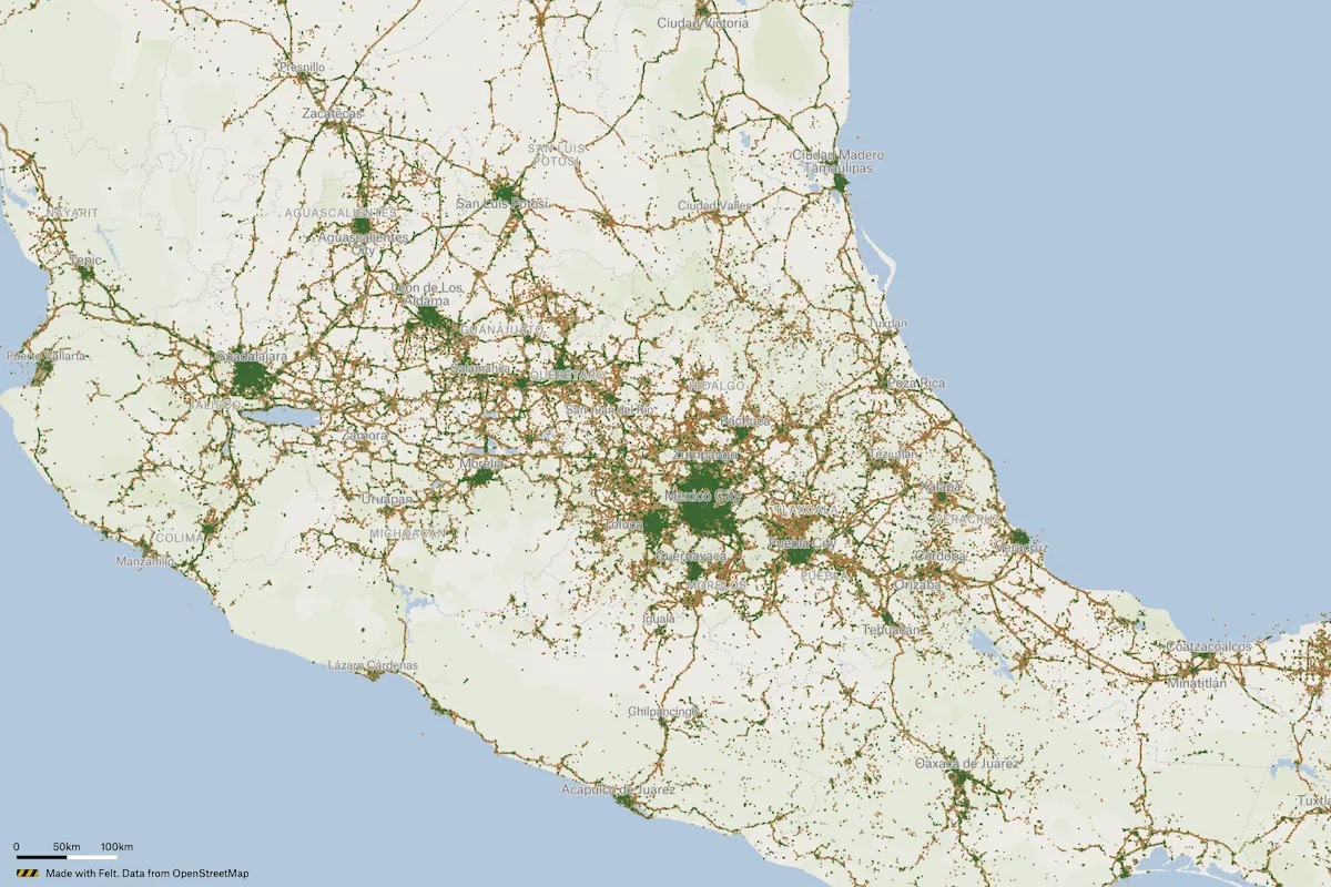
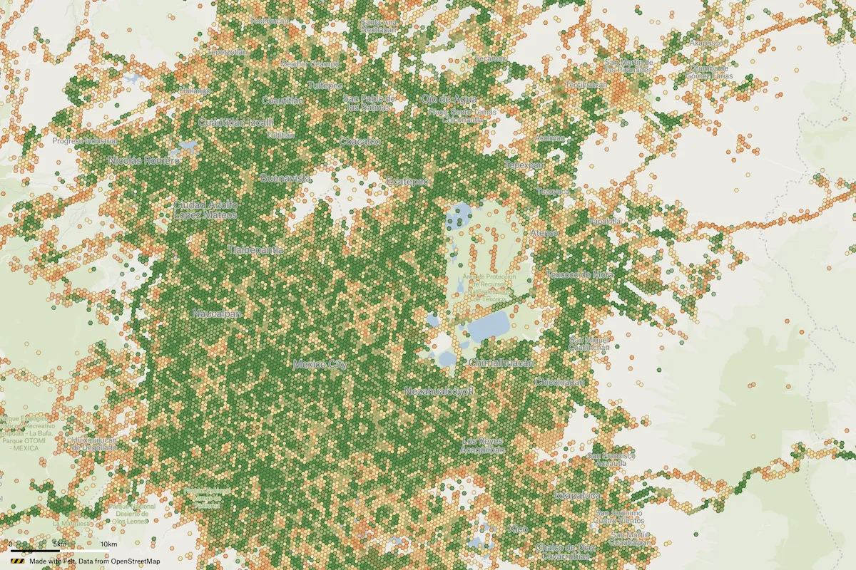
A 4G Wireless Connectivity Coverage Map of Mexico lists coverage providers and signal strength across the country.
A 4G Wireless Connectivity Coverage Map of Mexico lists coverage providers and signal strength across the country.
A 4G Wireless Connectivity Coverage Map of Mexico lists coverage providers and signal strength across the country.
Connect a database or drop in a file and see your data live on a map in minutes.