Skip to content
LAT37.8044° NLON122.2711° WX-13611157 mY4551831 mE564166 mN4184363 mE6050014 ftN2120204 ftBRG041.0°041.0°040.6°042.1°ZOOM11.0CRS
← Gallery
Real estate

Community Redevelopment Plan

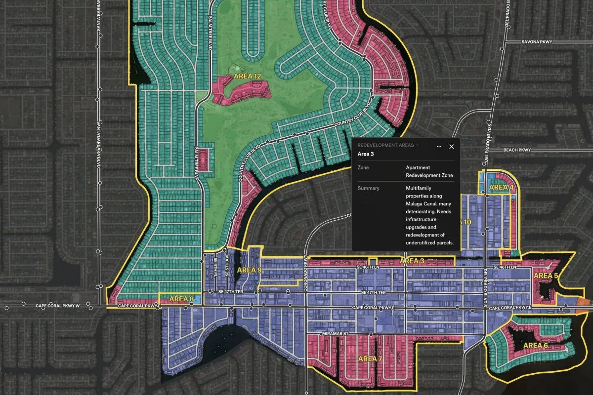
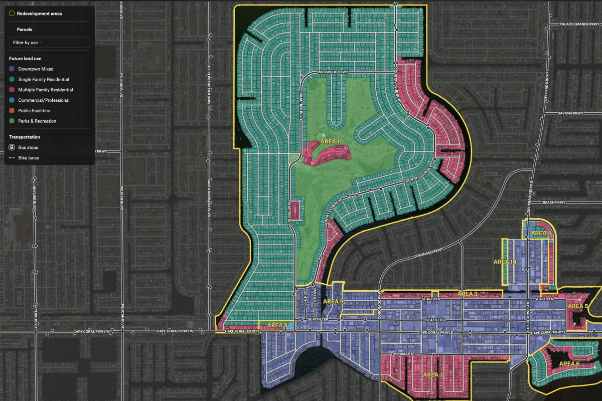
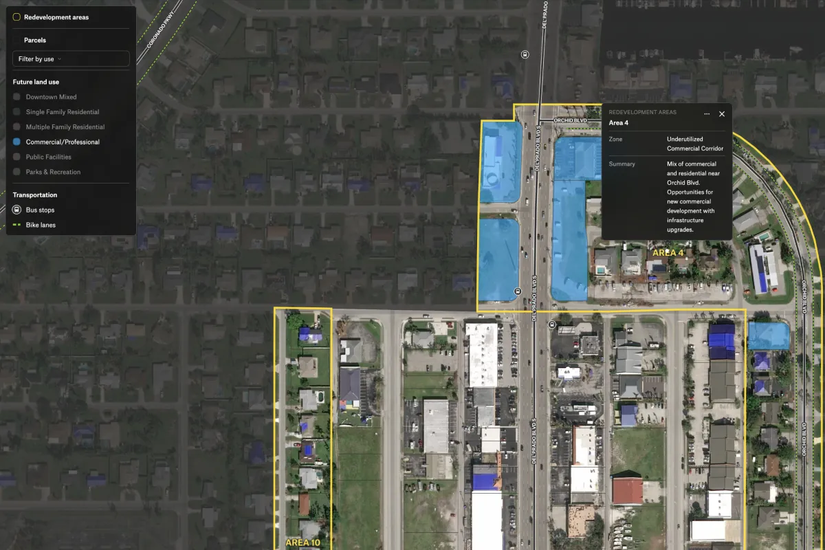
Visualize zoning, infrastructure, and redevelopment areas to streamline site selection and guide acquisition decisions.

Preview of Community Redevelopment Plan, an interactive Felt mapExplore this interactive map →
Community Redevelopment PlanOpen in Felt →
CartographerFeltCategoryReal estate

Visualize zoning overlays, infrastructure, and redevelopment areas so decision‑makers can quickly identify parcels best suited for redevelopment or acquisition, supporting smarter investments and faster planning cycles.
More views

Try Felt

Bring your data, see it on the map

Connect a database or drop in a file and see your data live on a map in minutes.