Skip to content
LAT37.8044° NLON122.2711° WX-13611157 mY4551831 mE564166 mN4184363 mE6050014 ftN2120204 ftBRG041.0°041.0°040.6°042.1°ZOOM11.0CRS
← Gallery
Climate and natural resources

CropScape Louisiana

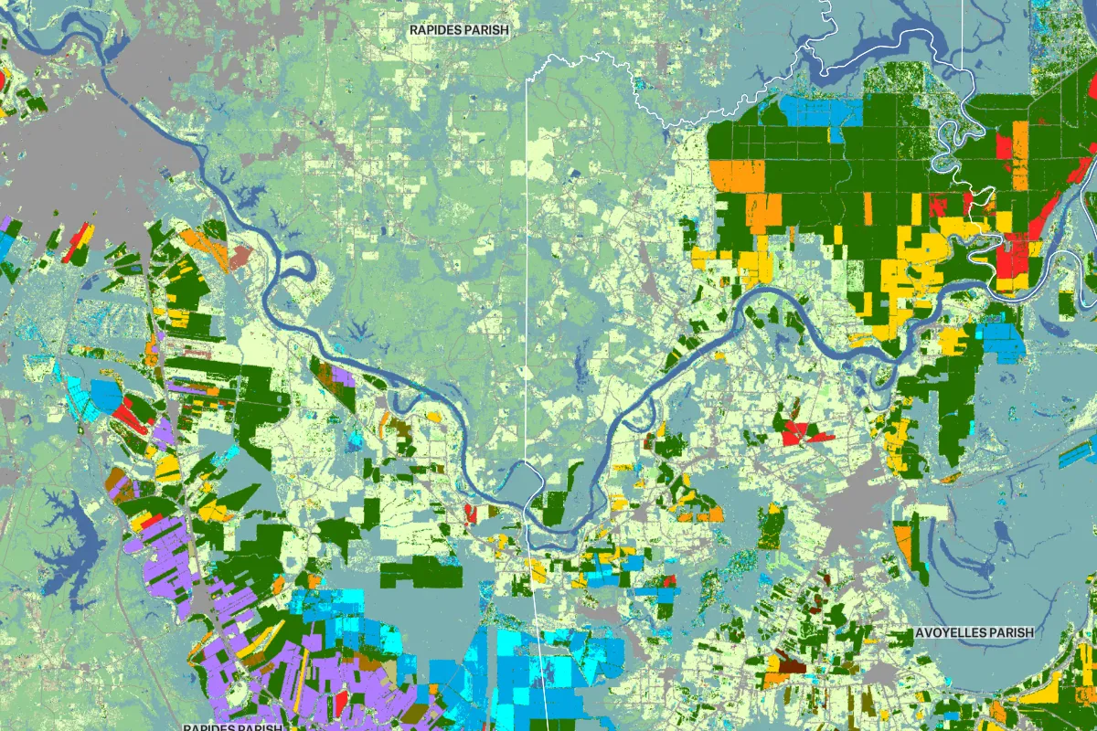
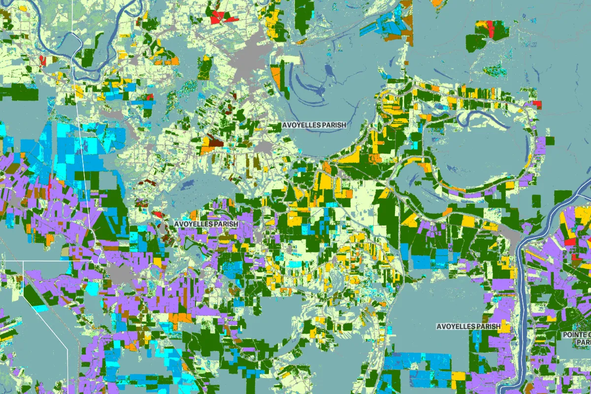
Raster data that contains color information, like this dataset from CropScape, will display with it’s own color scheme by default.

Preview of CropScape Louisiana, an interactive Felt mapExplore this interactive map →
CropScape LouisianaOpen in Felt →
CartographerFeltCategoryClimate and natural resources

Raster datasets can contain color information which displays in Felt. CropScape, a tool developed by the National Agricultural Statistics Service that provides information on crop acreage and other related data, is one example of a dataset that imports with its own color scheme by default.

More views

Try Felt

Bring your data, see it on the map

Connect a database or drop in a file and see your data live on a map in minutes.