Skip to content
LAT37.8044° NLON122.2711° WX-13611157 mY4551831 mE564166 mN4184363 mE6050014 ftN2120204 ftBRG041.0°041.0°040.6°042.1°ZOOM11.0CRS
← Gallery
Agriculture

Irrigation Upgrade Planning

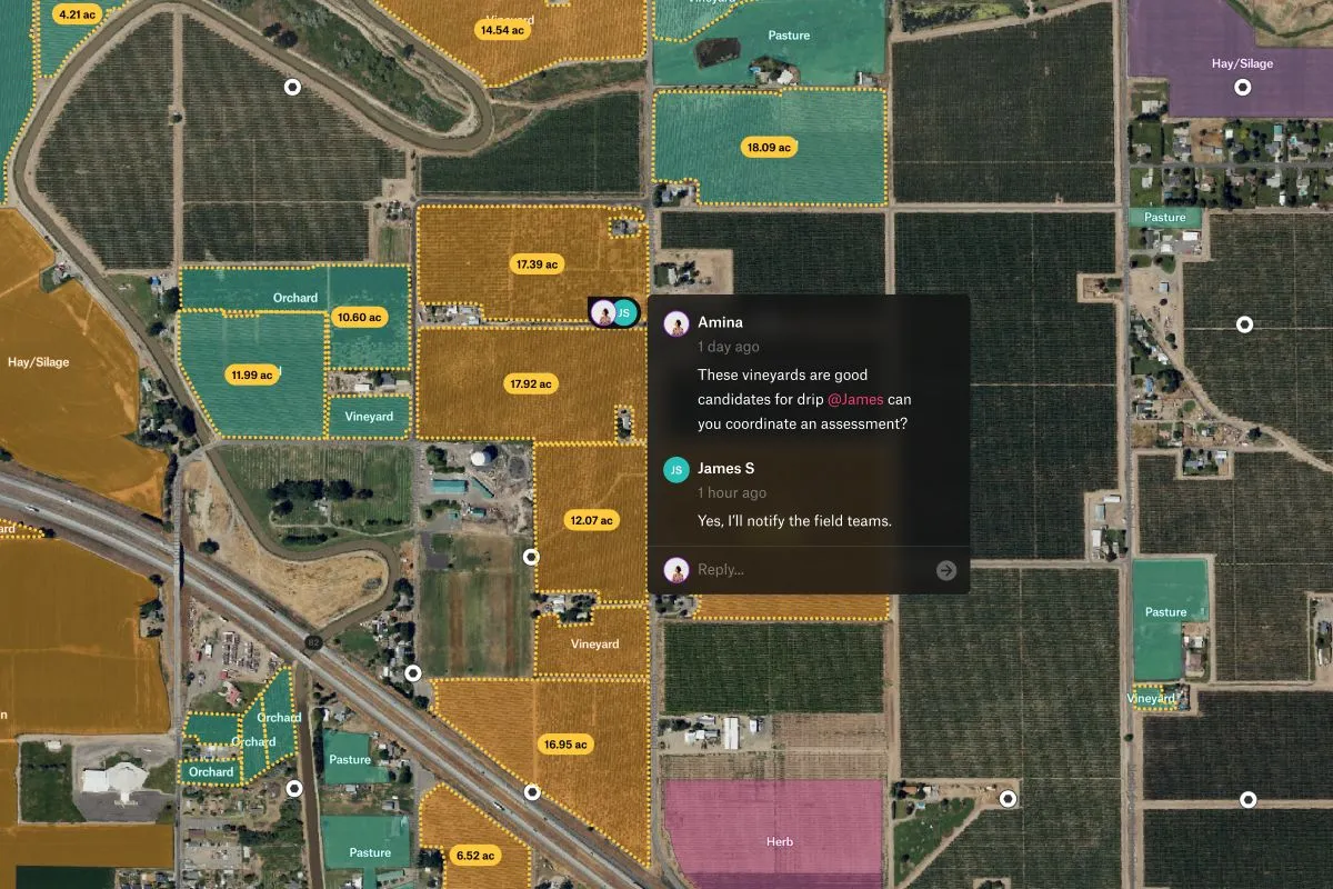
Map of vineyard and orchard parcels prioritized for drip irrigation upgrade planning.

Preview of Irrigation Upgrade Planning, an interactive Felt mapExplore this interactive map →
Irrigation Upgrade PlanningOpen in Felt →
CartographerFeltCategoryAgriculture

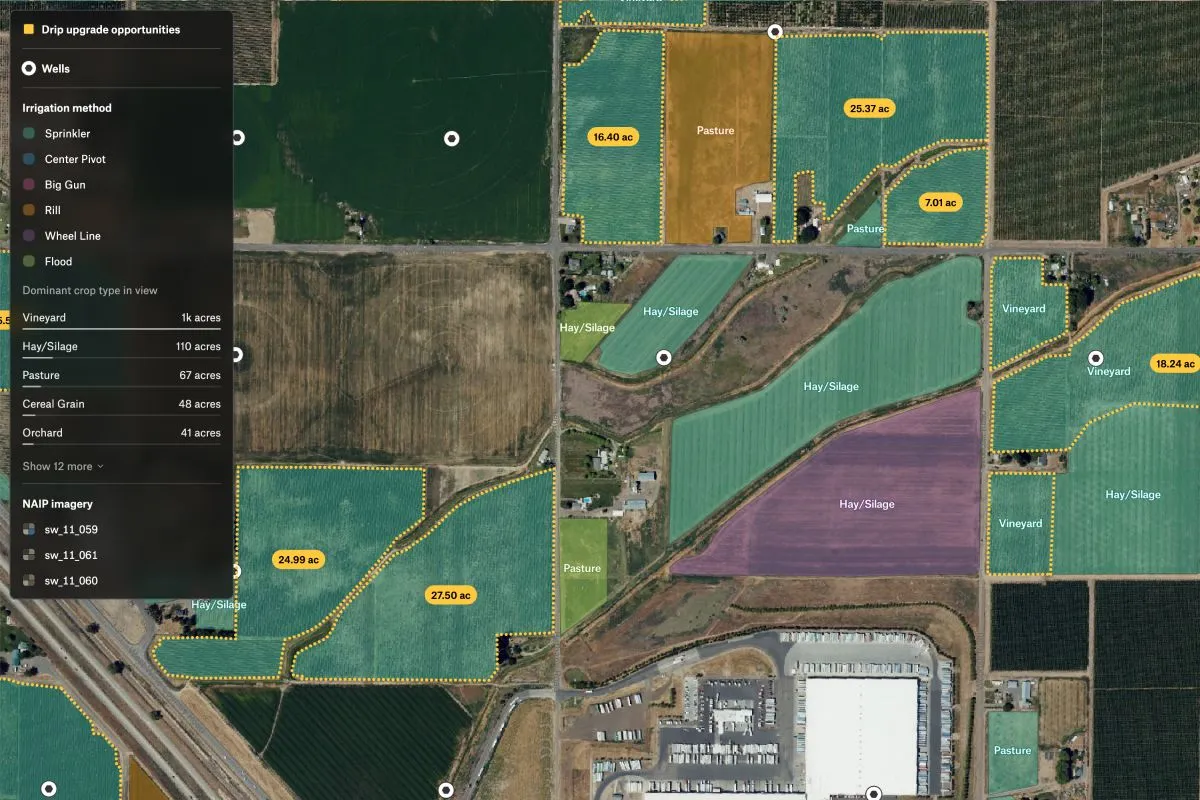
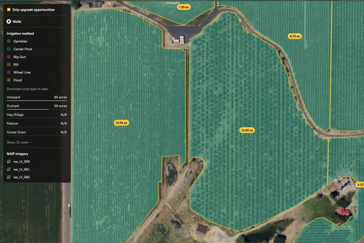
This map highlights vineyard and orchard parcels using outdated irrigation methods. With visible well locations and acreage stats, it’s designed to help agtech teams prioritize drip system upgrades and align investments across teams.
More views

Try Felt

Bring your data, see it on the map

Connect a database or drop in a file and see your data live on a map in minutes.