CartographerFeltCategoryClimate and natural resources
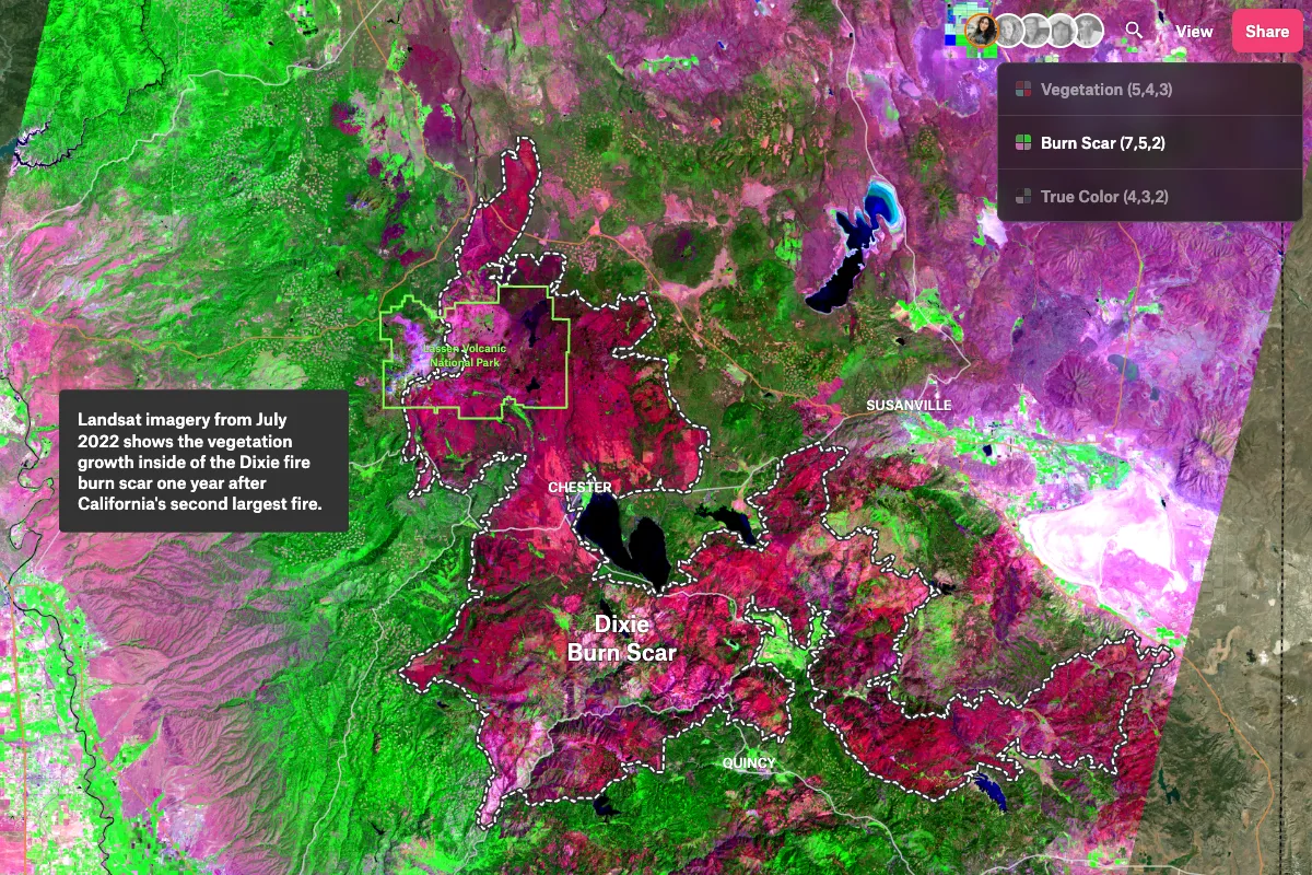
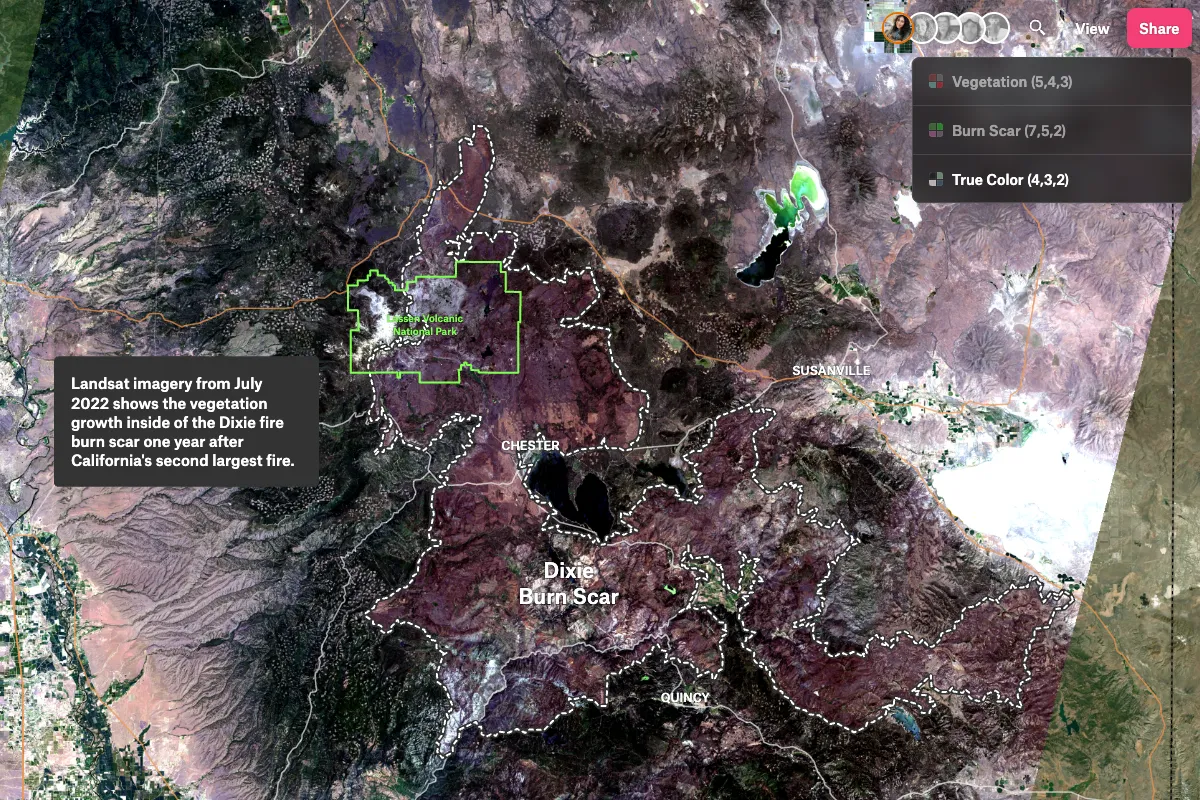
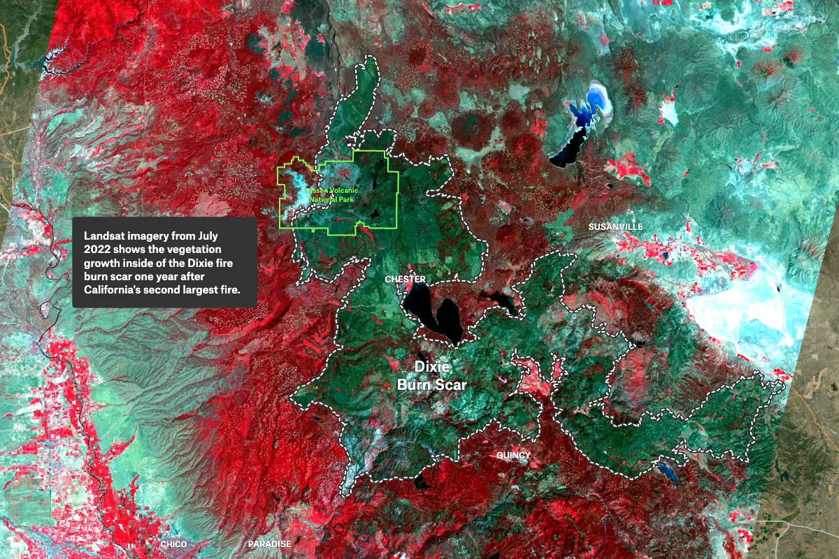
One way to effectively tell a story is by annotating on top of images, as demonstrated in the Landsat imagery map showing the growth of new vegetation after the Dixie Fire. This approach can be particularly useful in conveying complex information, providing visual context, and engaging an audience. By adding annotations, viewers can better understand the significance of the image and the data it represents. Furthermore, annotations can help highlight key features or patterns, draw attention to important details, and provide additional context that might not be immediately apparent to the viewer. Overall, incorporating annotations into image-based storytelling can greatly enhance the impact and clarity of the message being conveyed.