Skip to content
LAT37.8044° NLON122.2711° WX-13611157 mY4551831 mE564166 mN4184363 mE6050014 ftN2120204 ftBRG041.0°041.0°040.6°042.1°ZOOM11.0CRS
← Gallery
Climate and natural resources

Mississippi Basin Animation

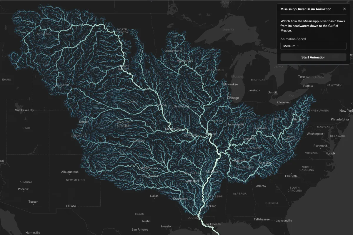
Watch rivers across the Mississippi River Basin animate downstream toward the Gulf of Mexico

Preview of Mississippi Basin Animation, an interactive Felt mapExplore this interactive map →
Mississippi Basin AnimationOpen in Felt →
CartographerFeltCategoryClimate and natural resources

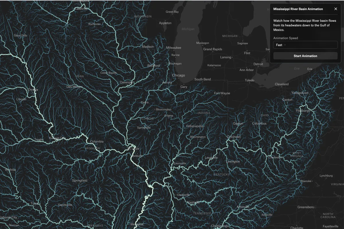
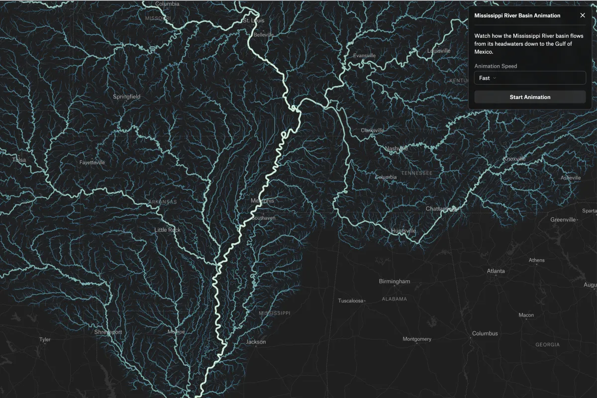
This animated map, built with Felt AI, shows the Mississippi River and its tributaries flowing toward the Gulf of Mexico. It gradually reveals river segments using real distance-from-ocean data, giving a clear sense of directionality and watershed structure.
More views

Try Felt

Bring your data, see it on the map

Connect a database or drop in a file and see your data live on a map in minutes.