CartographerFeltCategoryEmergency response
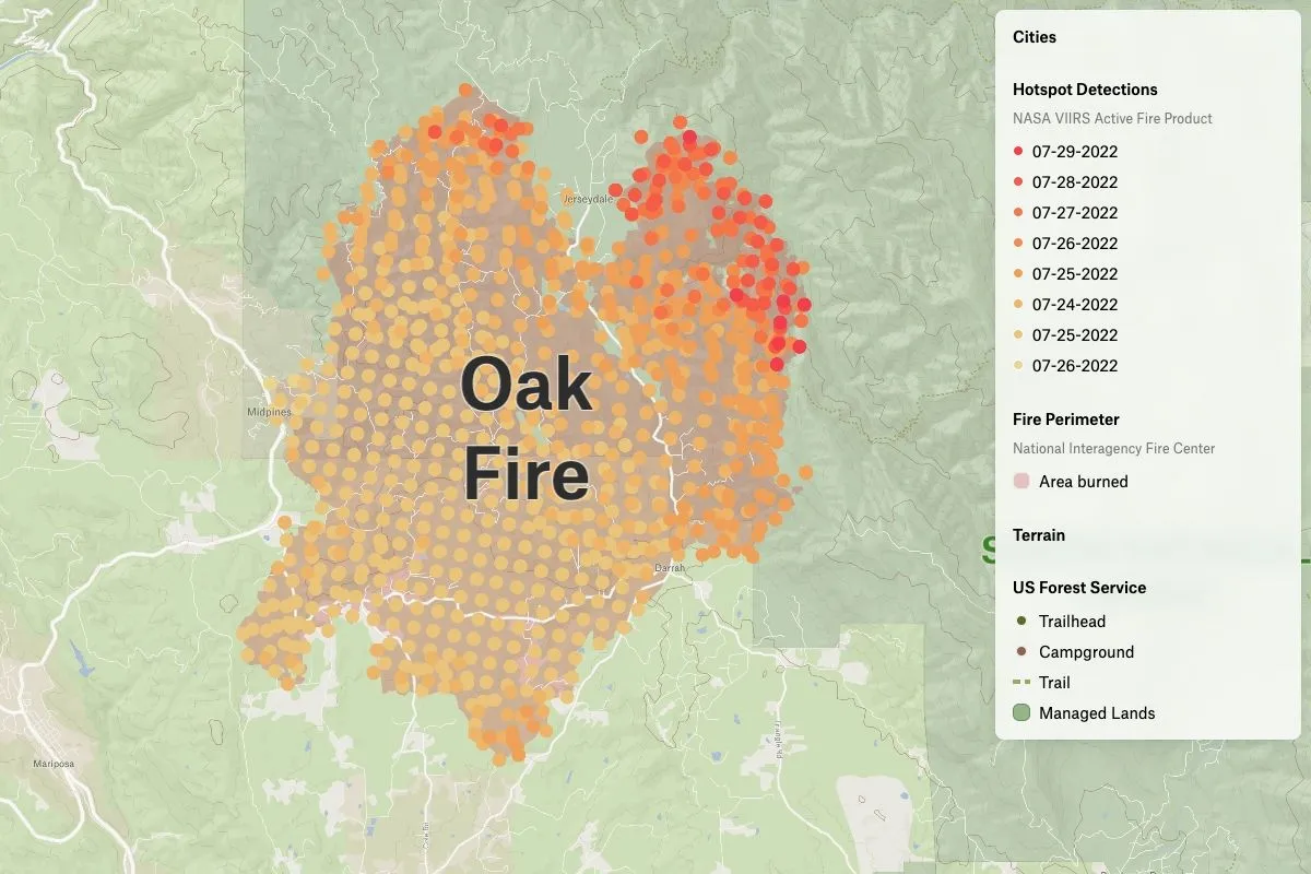
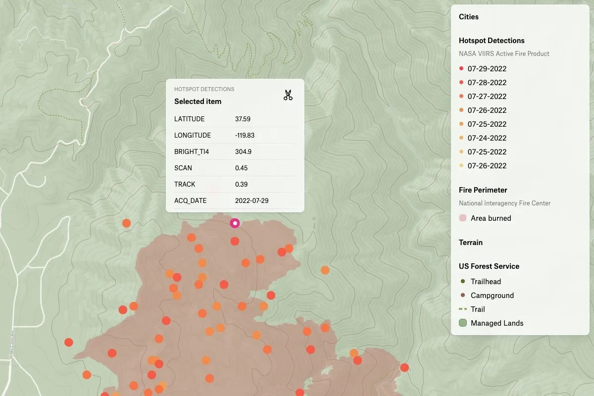
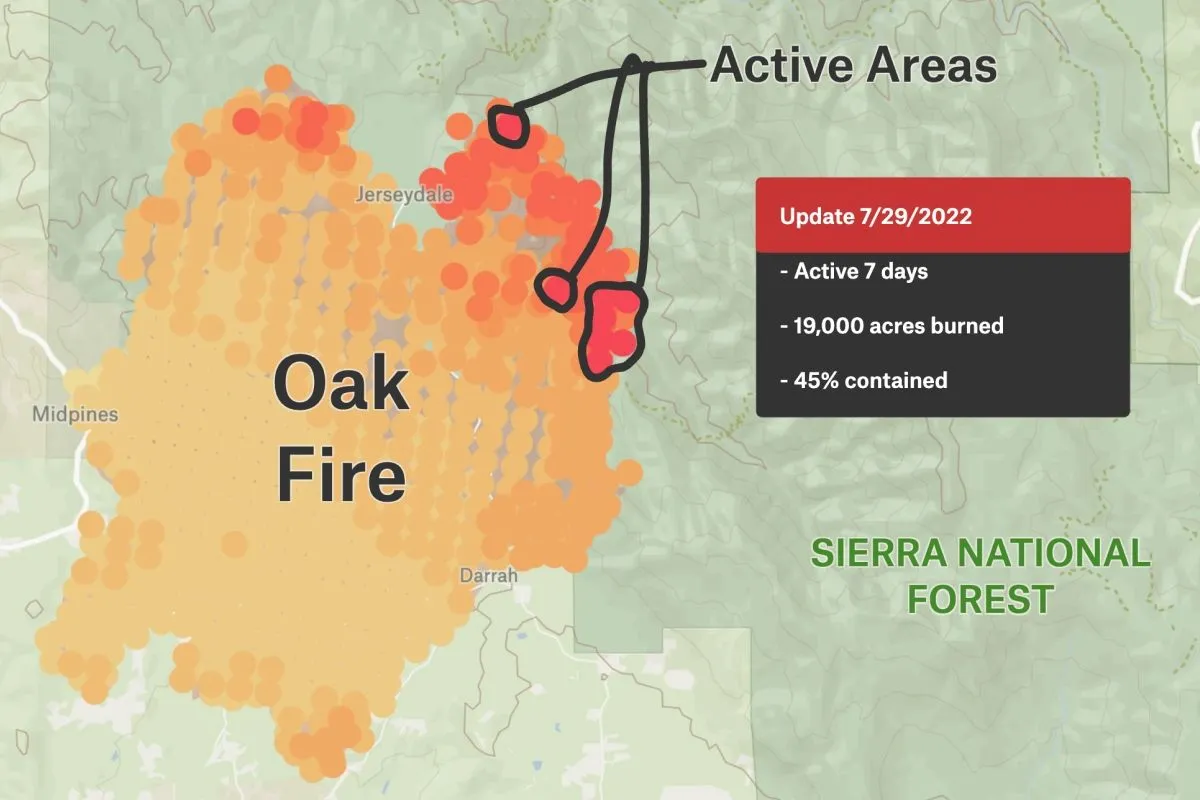
The Oak Fire, which started on July 22, 2022, quickly grew and eventually spread over 19,000 acres of land, causing concern to those who lived in the area. The fire was located just 30 miles west of Yosemite, a popular tourist destination known for its natural beauty and stunning landscapes. Despite the efforts of firefighters who worked tirelessly to contain the blaze, the fire continued to spread and eventually led to the evacuation of nearby residents. To better understand the scope of the fire, a map was created using NASA VIIRS Active Fire Product data and Felt’s categorical visualization type. The map showed the extent of the fire and the areas that were affected the most.