
Skip to content
LAT37.8044° NLON122.2711° WX-13611157 mY4551831 mE564166 mN4184363 mE6050014 ftN2120204 ftBRG041.0°041.0°040.6°042.1°ZOOM11.0CRS
← Gallery
Climate and natural resources

Rivers of India

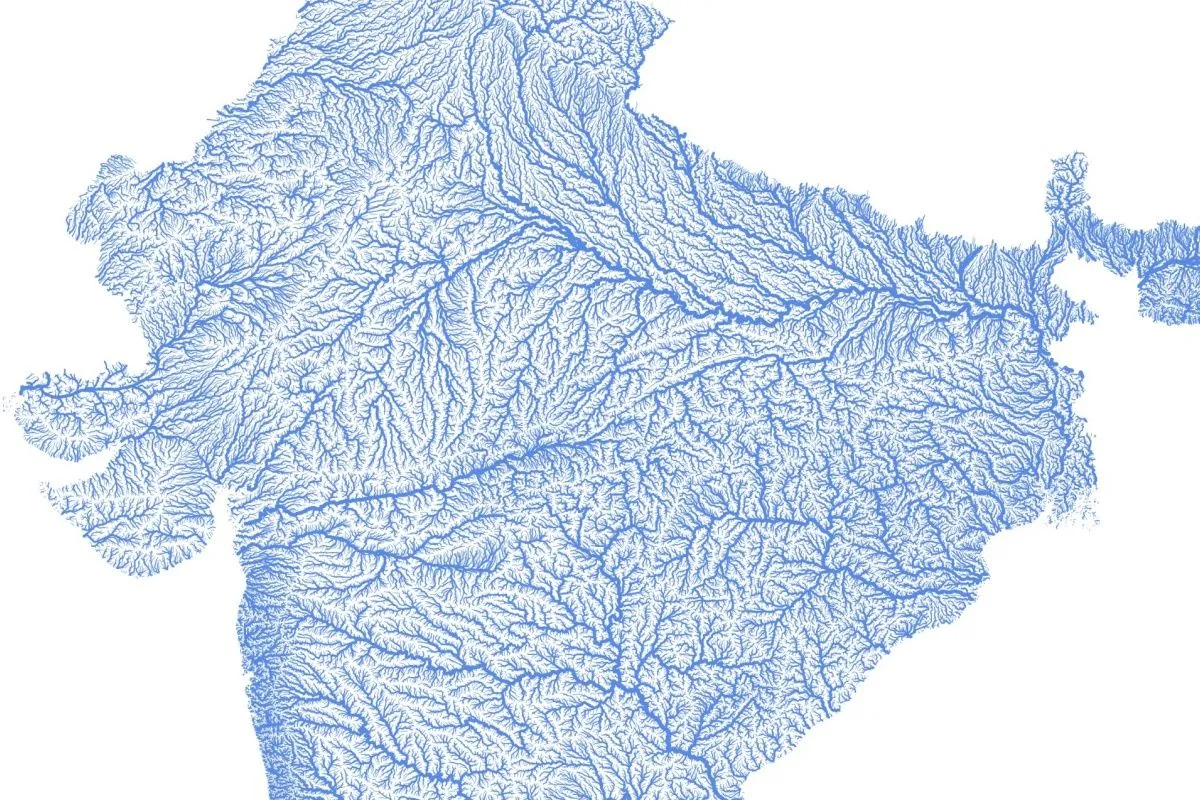
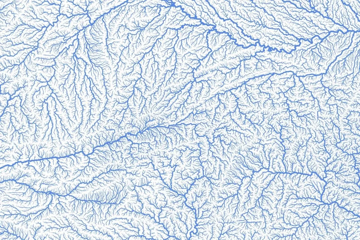
India’s complex river network utilizing Felt’s size-by-value visualization type.

Preview of Rivers of India, an interactive Felt mapExplore this interactive map →
Rivers of IndiaOpen in Felt →
CartographerFeltCategoryClimate and natural resources

This map of India’s complex river network uses Felt’s size-by-value visualization type to depict the flow from small to larger river segments. Smaller rivers flow to larger ones, and their line-widths change accordingly. The data for this visualization was sourced from HydroRIVERS.
More views

Try Felt

Bring your data, see it on the map

Connect a database or drop in a file and see your data live on a map in minutes.