Skip to content
LAT37.8044° NLON122.2711° WX-13611157 mY4551831 mE564166 mN4184363 mE6050014 ftN2120204 ftBRG041.0°041.0°040.6°042.1°ZOOM11.0CRS
← Gallery
Energy and utilities

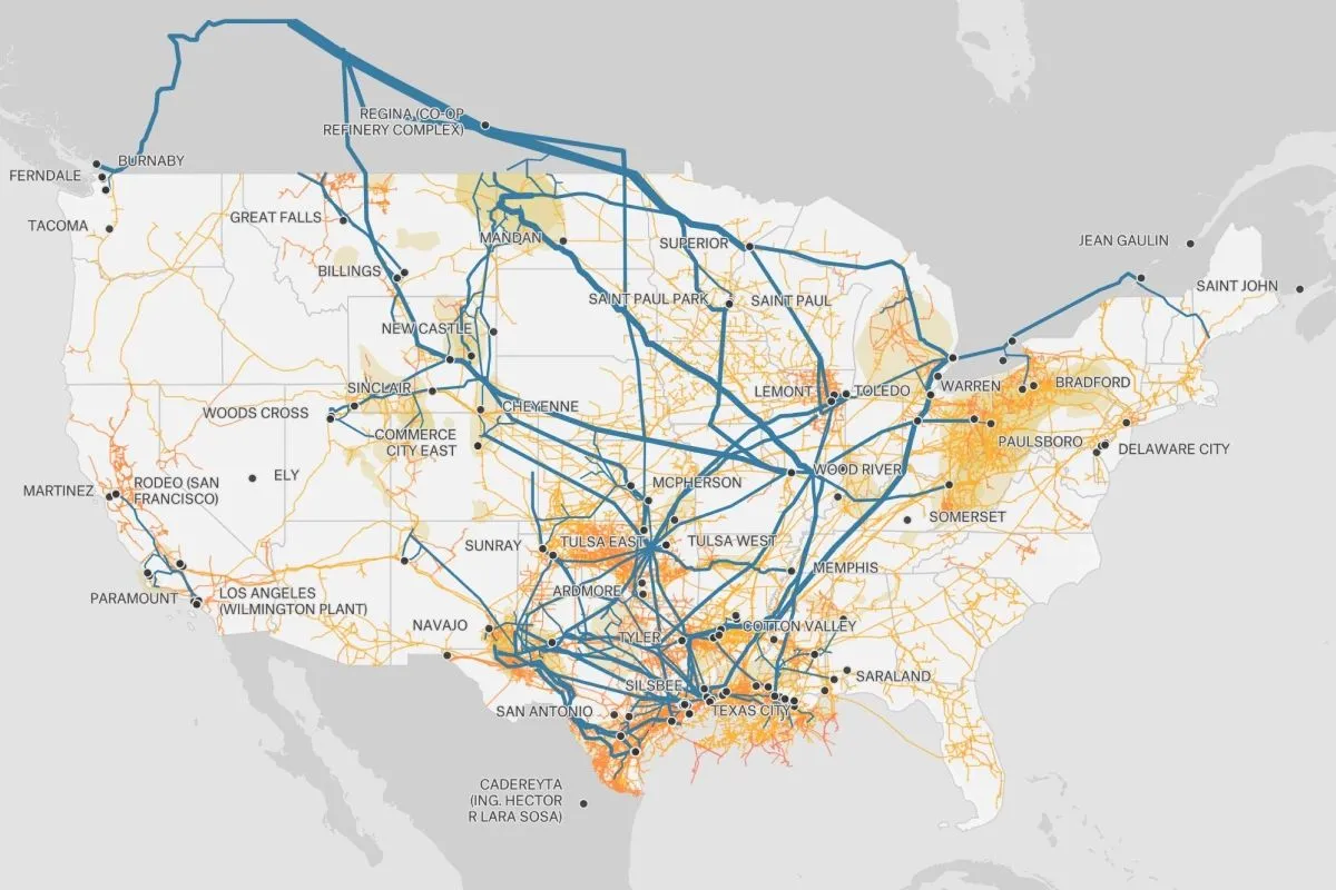
U.S. Oil & Gas Pipelines

Oil and gas pipelines across the United States of America.

Preview of U.S. Oil & Gas Pipelines, an interactive Felt mapExplore this interactive map →
U.S. Oil & Gas PipelinesOpen in Felt →
CartographerDavid TingleCategoryEnergy and utilities

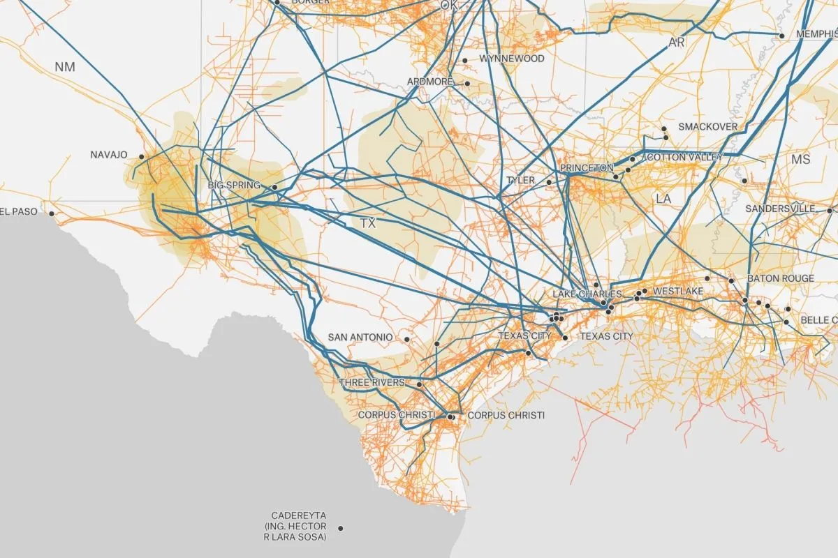
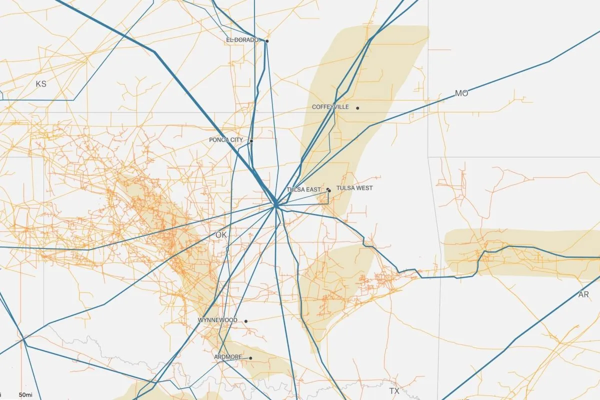
Map displays the oil and gas pipelines across the United States. Tight oil and shale gas plays and refineries provide additional context. All data sourced from the Energy Information Administration, U.S. Department of Energy, Department of Homeland Security and the U.S. Geological Survey.
More views

Try Felt

Bring your data, see it on the map

Connect a database or drop in a file and see your data live on a map in minutes.