Skip to content
LAT37.8044° NLON122.2711° WX-13611157 mY4551831 mE564166 mN4184363 mE6050014 ftN2120204 ftBRG041.0°041.0°040.6°042.1°ZOOM11.0CRS
← Gallery
Energy and utilities

Wildfire Risk Assessment

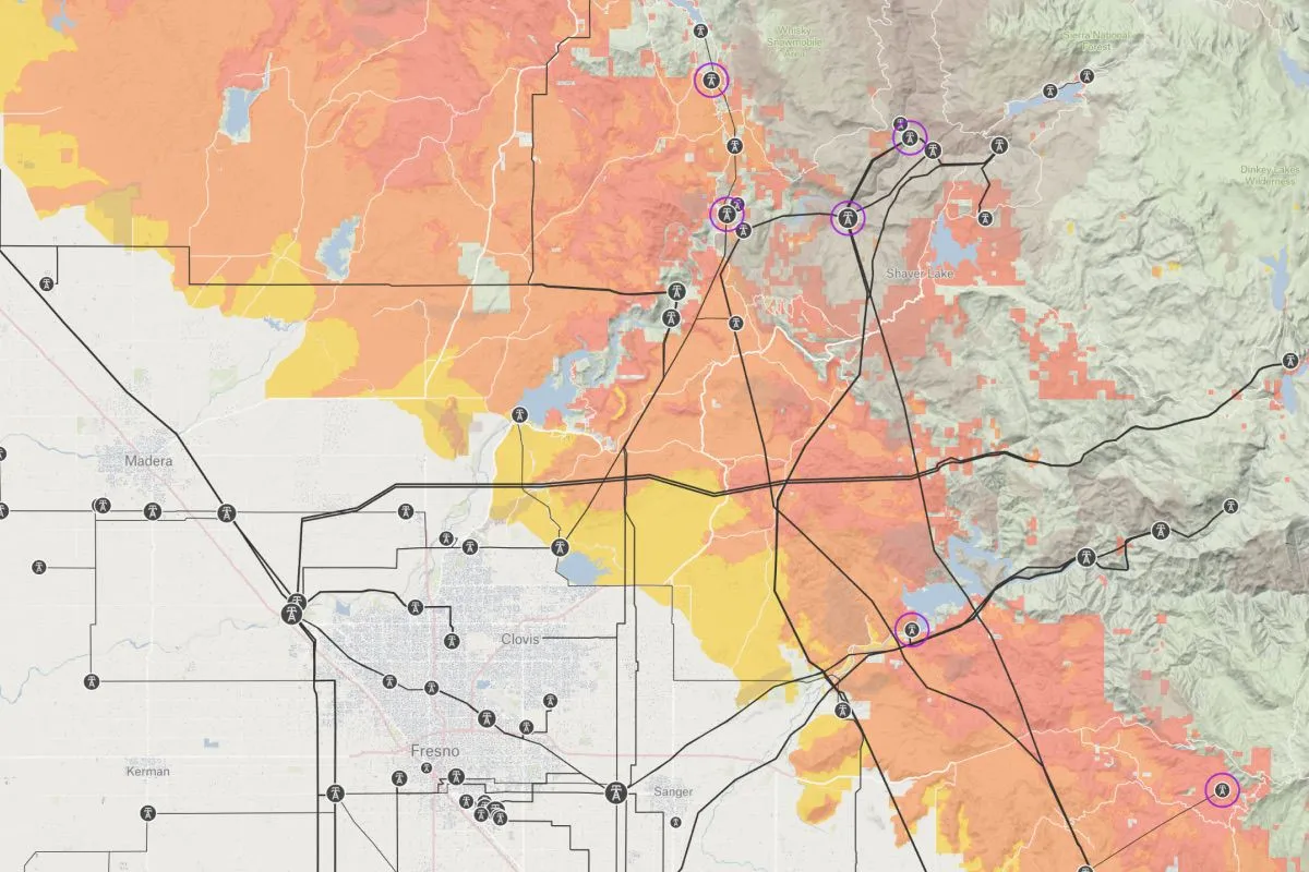
Evaluate fire risk zones and critical energy infrastructure for strategic decision-making in vulnerable areas.

Preview of Wildfire Risk Assessment, an interactive Felt mapExplore this interactive map →
Wildfire Risk AssessmentOpen in Felt →
CartographerFeltCategoryEnergy and utilities

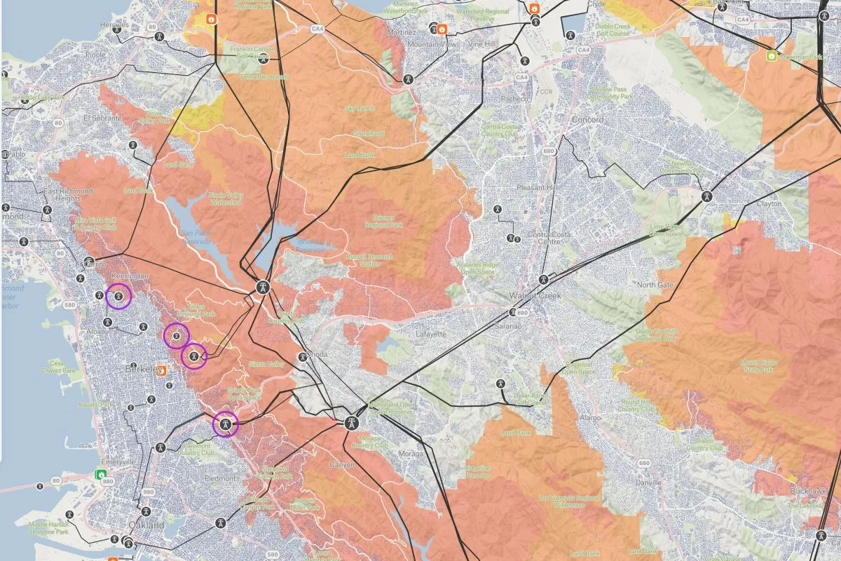
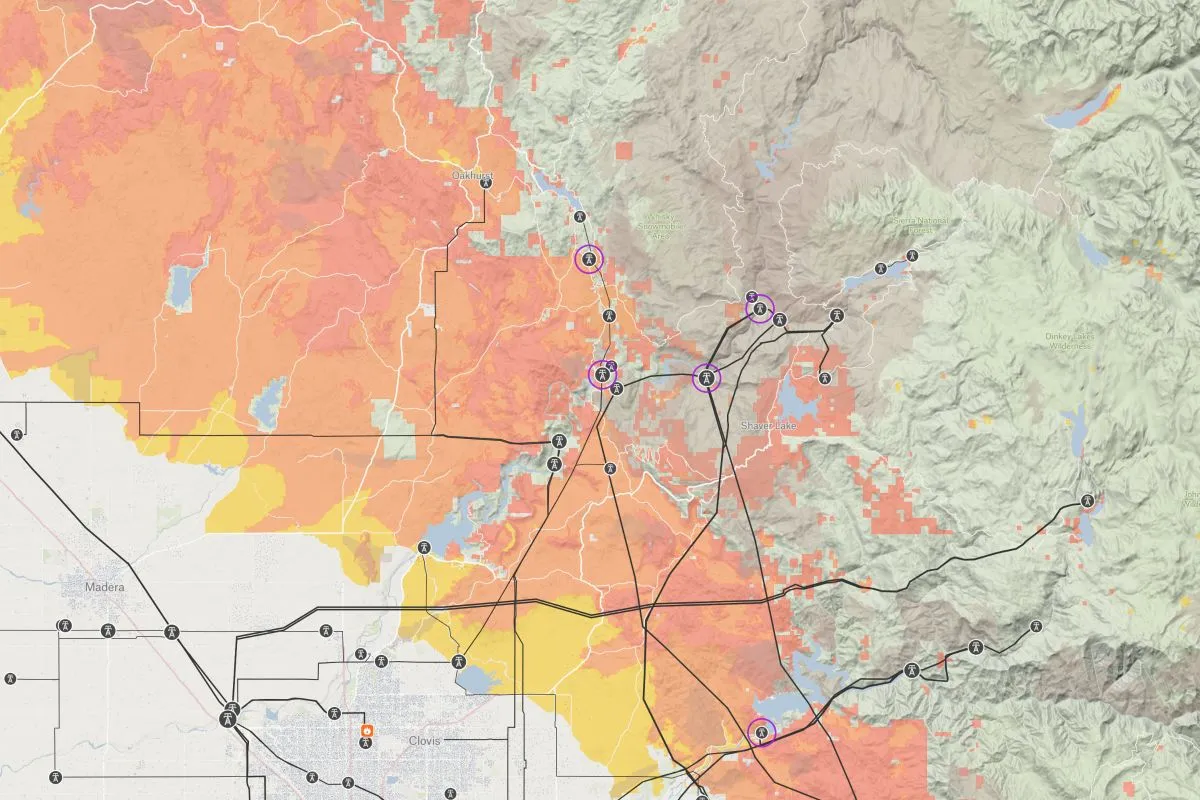
Combining USDA wildfire vulnerability assessments with HIFLD infrastructure data to identify critical risk intersections between power systems and high-hazard fire zones operational tool for the energy and utility sector enables strategic decision-making for infrastructure hardening, vegetation management, and emergency response planning across the state’s most vulnerable regions.
More views

Try Felt

Bring your data, see it on the map

Connect a database or drop in a file and see your data live on a map in minutes.