How to use geofencing technology: 14 applications across industries
Geofencing uses GPS, Wi-Fi, or cellular data to draw virtual boundaries — or geofences — around real-world locations. When a tracked device enters or leaves one of these zones, the system can trigger alerts, send notifications, and log movements automatically. It’s the same technology that lets companies monitor delivery arrivals and track field equipment. Whether your focus is fleet management, on-site safety, or workflow optimization, geofencing technology turns location data into precise, actionable intelligence.
Learn what geofencing is used for and the benefits it offers businesses across different industries.
What is geofencing?
Geofencing is a location-based technology that defines virtual boundaries around areas. When a connected device crosses the predefined boundary, the geofencing system automatically triggers a response, such as an alert, log entry, or action within a management platform.
A geofence can be drawn around anything, from a single factory to an entire delivery route. Users define these boundaries on a digital map, often in circular, polygonal, or fully custom shapes, while GPS trackers and cellular signals monitor device locations in real time.
Here are several common challenges geofencing companies help solve:
- Limited visibility of field operations: Geofencing provides real-time tracking of fleets and equipment across multiple sites.
- Theft or unauthorised use: Virtual perimeters trigger instant alerts when vehicles or machinery move after hours or leave approved zones.
- Manual check-ins: Automated logs replace paper or manual reporting systems.
- Better traffic management: Analyze traffic flow and congestion to support smarter urban planning.
- Remote monitoring: GPS systems enable wildlife tracking, livestock management, and environmental research.
How geofencing works across industries
Geofencing isn’t limited to logistics and delivery. City governments, farms, and marketing teams now use it to streamline day-to-day operations and improve decision-making. Here’s what geofencing means for different industries.
Urban planning and local government
Managing movement across a city is complex — whether it’s monitoring traffic, coordinating large events, or responding to emergencies. Geofencing gives local governments the tools to track conditions and react in real time when they change. During seasonal flash flooding, for example, city planners can geofence high-risk zones so residents entering those areas receive push notifications with alternative routes and safety updates.
Urban planning applications include:
- Automating alerts for emergencies, including extreme weather, road closures, and wildfires, to improve public safety
- Monitoring traffic congestion to inform long-term city planning
- Tracking municipal vehicles to improve route management and detect unauthorized use
Environmental science and climate research
From national forests to coastal wetlands, researchers use geofencing to monitor environments that are too large or remote to track manually. Conservation teams, for instance, can virtually fence the perimeter of a protected area so that unusual activity, like logging or tagged wildlife movement, triggers instant alerts.
Applications in environmental research include:
- Detecting illegal land clearing or poaching
- Triggering alerts for floods, fires, or extreme temperature events
- Collecting movement data to enhance geospatial analysis of wildlife populations and climate studies
Agriculture and land management
On large farms and pastures, geofencing gives farmers more control over how they manage their land and livestock. Setting a GPS perimeter around fields and storage areas can trigger alerts when machinery or livestock crosses a boundary.
Applications in agriculture include:
- Tracking herds across expansive properties
- Preventing equipment theft or unauthorized use
- Targeting specific zones for data collection to optimize planting and resource allocation
Business intelligence and fleet management
For businesses with moving vehicles and staff, geofencing provides visibility and accountability. GPS trackers on company vehicles, for example, report locations within defined perimeters, giving managers a clear view of what’s happening on the ground. If a driver leaves an assigned area, the system triggers an alert or automatically logs the movement for review.
Businesses and fleet applications include:
- Monitoring deliveries, vehicle arrivals, and driver activity in real time
- Analyzing performance data to improve route efficiency and reduce fuel costs
- Automating job sites check-ins and verifying time on location
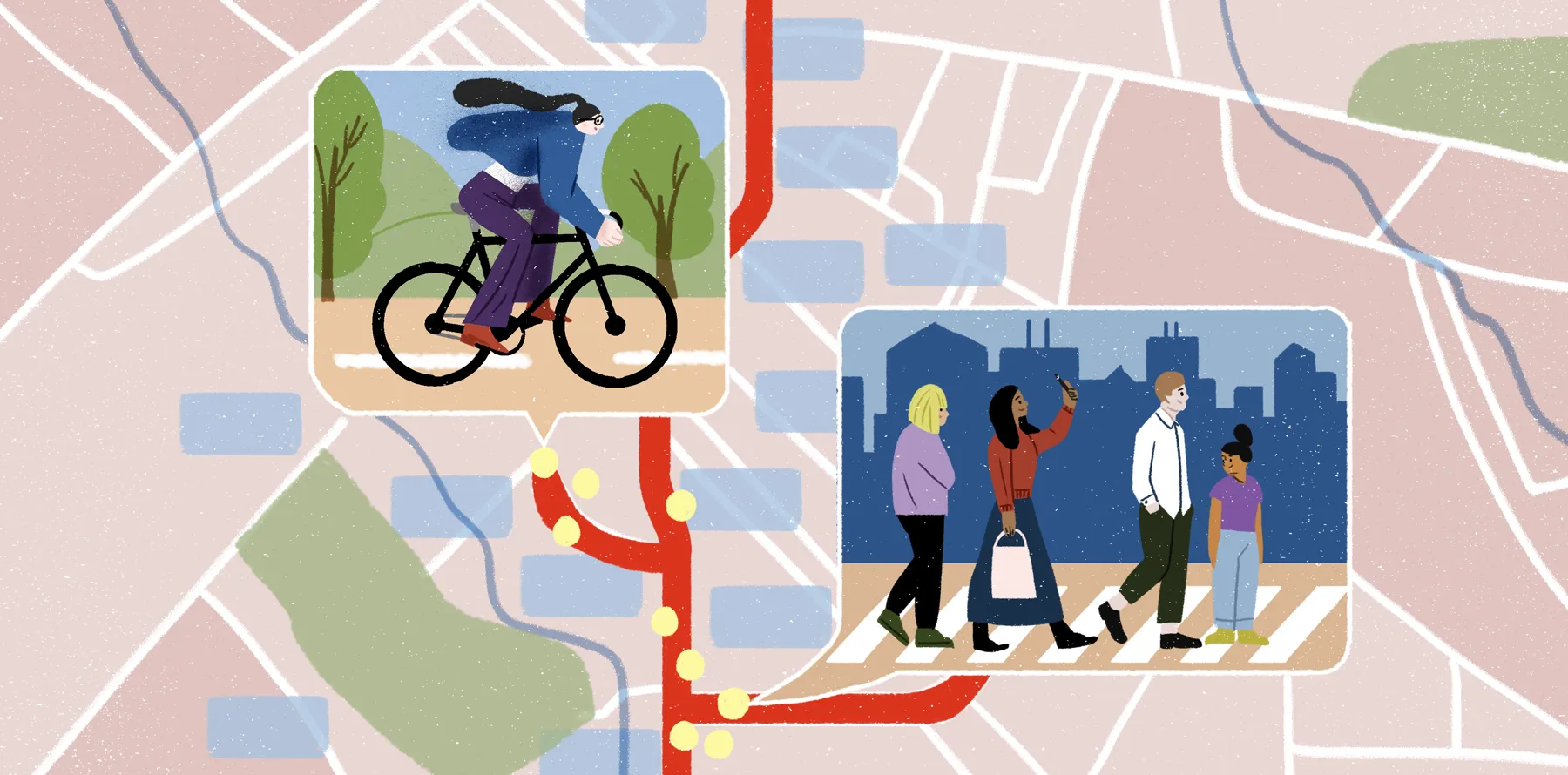
Marketing and customer engagement
In modern marketing, where customers are matters as much as who they are. Marketers can geofence a store, venue, or event so brands can target customers when they’re nearby. A retailer, for instance, might set a GPS radius around a storefront so that users receive a push notification about a limited-time offer, connecting digital marketing with real-world consumer behavior.
Marketing applications include:
- Sending personalized promotions to mobile devices when customers enter a geofenced area
- Measuring foot traffic against sales data to determine which campaigns drive in-store purchases
How to implement geofencing effectively
A structured setup process ensures that boundaries, triggers, and data collection work together seamlessly, making your GIS system accurate from the start. Here’s how to get started.
- Define goals
Begin by identifying what you want to achieve with your geofencing initiative. Perhaps you’re tracking fleets, managing site safety, or supporting compliance. Establish clear, measurable outcomes and determine how you will evaluate success over time.
- Choose boundaries
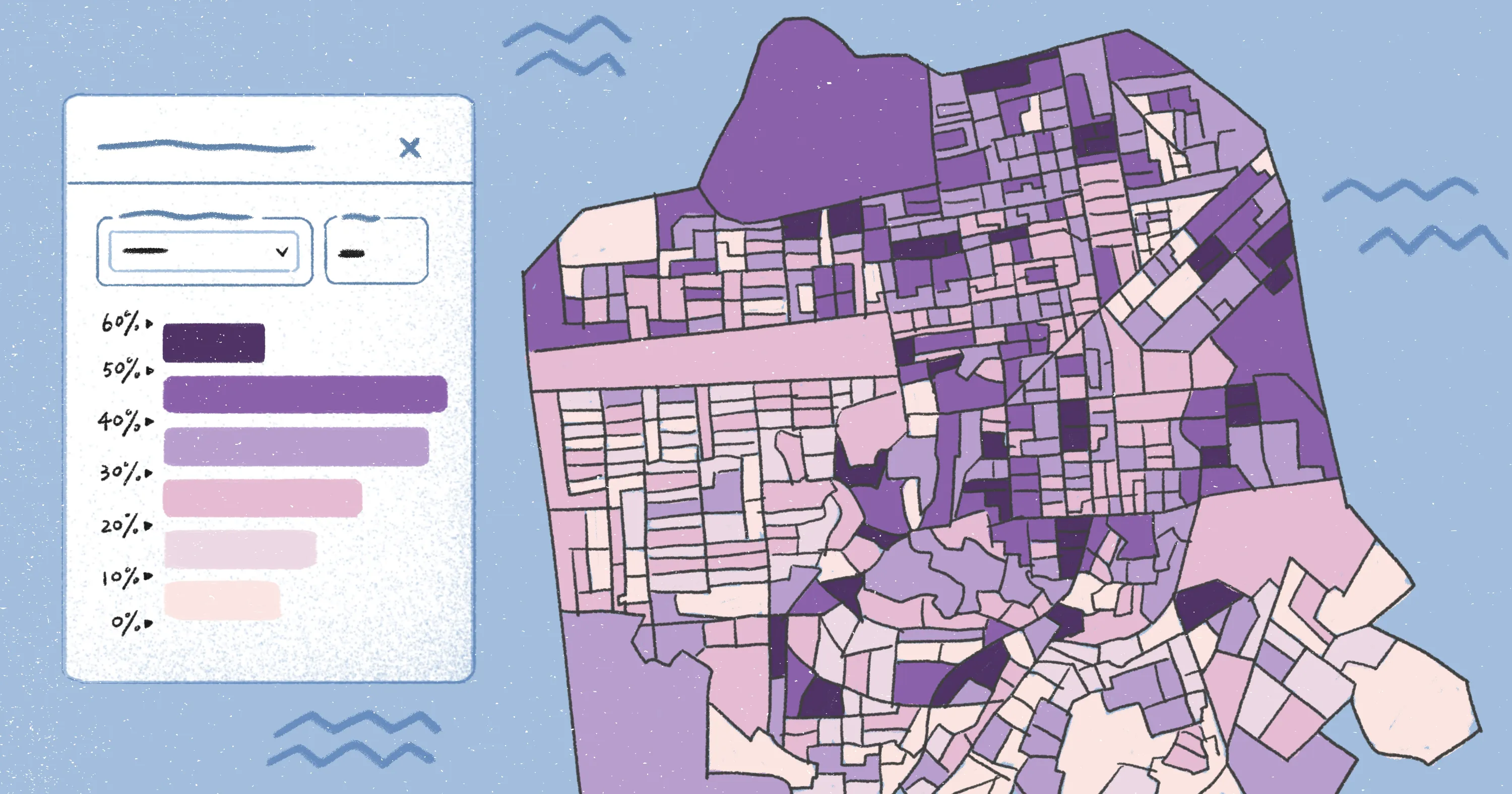
Select the geofence shape that fits your needs. Circular geofences are ideal for broad coverage or simple data collection, while polygons allow precise control over irregular areas. Work with your team to build geofences using a map-based interface and decide which devices — GPS trackers, mobile devices, or Wi-Fi-enabled tools — will capture the location data.
- Configure alerts and monitor results
Set triggers for entry, exit, or off-hours movement, then test alerts against real-world conditions to improve accuracy, adjusting geofence size and shape as needed. Regularly review notifications and logs to confirm that your system reflects actual activity, and refine thresholds over time.
- Scale with teams
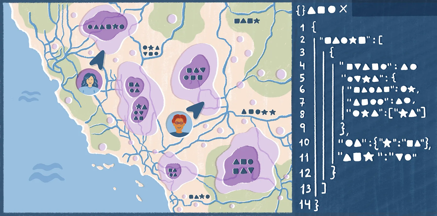
Integrate geofencing data into your existing mapping or business intelligence systems, making it accessible across teams. Use AI prompts, shareable GIS dashboards, and standardized templates to simplify deployment and reporting. Defining a schedule for reviewing geofencing performance can ensure adherence to internal policies. As your organization grows, a well-documented geofencing framework allows you to add new projects, devices, and users without disrupting existing workflows.
Turn your geofenced data into action with Felt
The real value of geofencing comes from turning raw location data into insights your teams can visualize, share, and act on. With Felt’s App Development platform, developers can integrate geospatial data directly into their apps using Felt’s API or Python and JavaScript SDKs. With Felt, you can import geofence and tracking data from spreadsheets, plot millions of points and boundaries in real time, and collaborate in the cloud without any downloads or installs.
Start your next project with Felt and see how the platform transforms data into collaborative, interactive maps.
FAQ
What is a geofence example?
A geofence is a virtual boundary around a real-world location, such as a delivery area or single retail store. For example, a company might set a GPS perimeter inside a factory so managers receive alerts when employees enter or exit a specified zone.
How accurate is geofencing with GPS?
Precision depends on the quality of your devices and environmental factors. Tall buildings, dense tree cover, and adverse weather can interfere with satellite signals. Choosing high-quality trackers and testing in real-world conditions can improve reliability.
What are the main benefits of geofencing?
Geofencing makes operations more transparent and easier to manage. By transforming real-world movement to readable data — whether it’s tracking deliveries or customer visits — teams can spot inefficiencies and make smarter, data-driven decisions.
What are common geofencing triggers and alerts?
Typical triggers include entering or exiting a defined zone, staying within an area for a set time, or activities outside permitted hours. Alerts can notify specific stakeholders, log activity, and update dashboards in real time.
Is geofencing safe and legal?
When using geofencing, businesses must comply with privacy and consent laws and follow regional and federal regulations to protect personal data, maintaining secure, responsible tracking practices.
Compare Felt using AI


.webp)