


SUMMARY
GIS software turns geospatial data into maps, analysis, and workflows that support planning, operations, and business decisions.
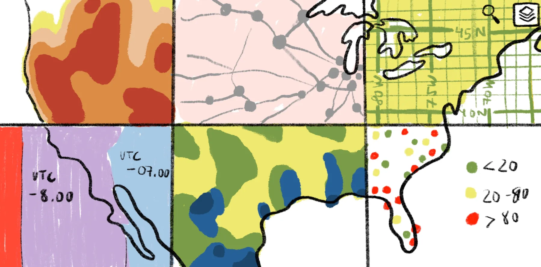
Leading platforms such as ArcGIS, ArcGIS Online, and QGIS offer different strengths in analysis, customization, and sharing.
Modern web mapping platforms such as Felt bring enterprise, end-to-end collaboration, and spatial workflows to decision-making, complementing traditional GIS tools.
Support for geospatial data formats like vector, raster, spreadsheets, and CAD helps teams move from raw files to usable spatial insights faster.
Geographic information system (GIS) software helps organizations turn complex geospatial data into clear, actionable insights. Whether you’re planning urban developments or managing sales territories, these tools make it possible to visualize trends and forecast outcomes, leading to improved, data-driven business decisions.
Each GIS platform offers different strengths. Some prioritize seamless file compatibility, while others focus on real-time collaboration or customization. Explore the best GIS software platforms and their top features to choose a system that aligns with your needs.
The Top 7 GIS Mapping Programs
Today’s GIS software ranges from enterprise-grade platforms to lightweight, open-source options. Here are seven of the best GIS platforms available and their key strengths.
1. Felt
Felt is the leading cloud-native GIS software platform built for end-to-end collaborative web mapping and fast exploration of geospatial data. It supports enterprise-grade workflows, enabling teams to analyze spatial data, work with both vector and raster datasets, and share maps with stakeholders without relying on heavy desktop tools.
Felt’s powerful platform offers multiple advanced features and products, including the Field App for collecting and updating spatial data in real-time, even when offline, and built-in Felt AI capabilities that help automate app building and extract insights from spatial datasets, helping teams move from data collection to analysis faster.
Pros:
- Advanced geoprocessing with no-code components: Helps teams run advanced spatial workflows, analyze data, and build maps through an intuitive browser interface, with no code required.
- Cloud-native platform: Runs entirely in the browser, enabling instant rendering across millions of features and allowing multiple users to edit the same layer in real time without desktop GIS software.
- Enterprise-ready software: Makes it easy to connect cloud sources like Postgres, Snowflake, and Databricks, while meeting enterprise security standards with GDPR and SOC 2 Type II compliance.
2. Esri ArcGIS Online
ArcGIS Online is Esri’s first cloud-based GIS software, released in 2012. It provides spatial analysis, 3D visualization, and some sharing and commenting tools. Esri also offers ArcGIS Pro, a desktop platform focused on highly technical geoprocessing and data management. Reviews mention Esri can be resource-intensive, and many users report lagging and unexpected crashes.
Pros:
- Varied software: Esri supports multiple tools for different teams, including cloud, desktop, and mobile platforms.
- Reliable support: The software has an extensive self-serve knowledge base and customer support system to answer questions and provide technical assistance.
Cons:
- Performance issues: Esri is resource-intensive, and many users report lagging and unexpected crashes.
3. Maptitude
Maptitude is online GIS software offering detailed spatial data analysis, territory management features, and map customization. It’s popular in industries like real estate and retail. Maptitude also provides offline desktop software, though reviews mention its overly complex interface and limited features.
Pros:
- Location planning: Maptitude specializes in area analysis, offering delivery route planning and drive time calculation.
- Map customization: The tool provides personalization features, letting you change colors, labels, and legends, or apply premade themes.
Cons:
- Steep learning curve: Users report that both the cloud and desktop versions of Maptitude are difficult to master. The platform also lacks support documentation, particularly for newer updates.
4. Mapinfo Pro
MapInfo Pro is a desktop-only GIS tool offering spatial analysis and data visualization. It’s versatile but aimed primarily at telecommunications businesses, helping teams monitor network growth, visualize towers and cell sites, and measure radio signal strength. Some reviewers shared having difficulty with large datasets, resulting in slow processing and rendering issues.
Pros:
- Strong data analysis: It allows users to create thematic maps, manage multiple layers, and perform complex queries to study data in-depth.
- Third-party extensions: While desktop tools don’t have the update frequency of cloud software, users can download add-ons from independent creators and MapInfo developers to improve functionality.
Cons:
- Poor performance: MapInfo has difficulty with large datasets, so users can experience slow processing, rendering issues, and file size limits with specific formats.
5. Saga GIS
Saga GIS is a free, open-source platform focusing on geoscientific applications like terrain and climate analysis, making it a good choice for researchers. However, reviews say it lacks an intuitive interface and has lower-quality cartography tools.
Pros:
- Free and open source: Free GIS programs let teams try mapping tools with no investment, and open-source functionality allows developers to customize the experience.
- Specialized features: It offers specific geoscientific tools, including digital elevation model analysis, hydrology functions, and fire spread simulation.
Cons:
- Complexity: Saga GIS has a steep learning curve, a challenging interface, and limited sharing capabilities.
6. QGIS
QGIS is an open-source desktop mapping tool that lets users view various spatial information, including Vector and Raster data. The platform offers deep, location-based analysis, making it a popular choice — in fact, many teams create maps in QGIS before enhancing them in Felt.
Pros:
- Versatile analysis: QGIS supports multiple file types and has varied data analysis features.
- Strong community: The platform has a global community offering documentation and forums for thorough troubleshooting and learning.
Cons:
- Challenging for beginners: QGIS is a powerful tool but it can be complex for beginners to become oriented.
- Difficult to share: QGIS is desktop based making it challenging to share results across organizations and teams.
7. Carto
Carto is designed for business analytics and strategy, offering demographic insights and market planning. While it provides data analysis, the platform isn’t a traditional GIS tool and lacks functionality like advanced 3D imagery and industry-specific charting.
Pros:
- Business focus: Carto provides tools for location-based decision-making and pattern tracking.
- Powerful Spatial SQL Engine: Allows complex spatial operations like joins, buffers, intersections, clustering, etc.
Cons:
- Learning curve: as a technical data analysis product, getting started can be challenging for business users.
What Types of Data Can GIS Platforms Import?
For a GIS tool to be truly useful, it must support the right data formats. Cartography software acts as the bridge between raw information and meaningful insights, but only if it can receive, process, and visualize the files your team already relies on. Here are the main file types that GIS platforms typically handle:
- Vector data: These formats represent geographical features with shapes such as points, lines, and polygons. Because they’re mathematically based, they’re easy to scale to any size without losing clarity. Common formats include Shapefiles, GeoJSON, and GeoPackage.
- Raster data: Raster files store information in a uniform grid of cells or pixels, with each cell containing a numeric value tied to a specific attribute, like elevation, soil type, or temperature. They’re ideal for measuring environmental conditions and trends that spread across areas. Popular formats include GeoTIFFs and ASCII grids, as well as common image types like JPEG and PNG.
- Spreadsheets: Many GIS programs can interpret structured tabular data. Files from Excel (.XLS or .XLSX) or flat files like .CSV can be imported to map territories, customer lists, and demographic statistics. With the right configuration, a spreadsheet column of addresses becomes a dynamic layer on your map.
- Images and PDFs: Some mapping tools let users upload images to enhance context. For instance, a tourism business may overlay a JPEG of a monument or attach a PDF guide with attraction details. This type of visual layering helps make presentations more human-friendly.
- AutoCAD: Engineering and design teams often rely on AutoCAD for drafting. Many GIS tools allow users to upload drawing exchange format files, which capture 2D designs and schematics. Adding these to a GIS platform enables teams to view technical drawings alongside geospatial data for improved project visualization.
- Layer groups: Some GIS platforms let users upload multi-layered files, like spreadsheets with multiple tabs. When imported, these produce maps with separate but related datasets that you can toggle, style, and analyze independently.
Felt supports all of these formats and more. The Upload Anything feature lets you drag and drop nearly any file type directly into the workspace. The system automatically processes the data, analyzes it, and renders it into a clear, interactive map. What’s more, QGIS users can share their maps and model outputs directly to Felt with Felt’s QGIS plugin. This means teams can move from raw files to customized visualizations in minutes without any additional setup.
Experience the Future of GIS With Felt
Modern GIS software helps businesses create data-driven strategies and make smarter decisions. With its fully cloud-native system, Felt is moving this technology forward. It transforms location-based data into interactive maps accessible to developers and stakeholders. Teams can collaborate efficiently, build custom apps in minutes, and streamline workflows. Felt prioritizes security with SOC 2 certification and GDPR compliance, ensuring sensitive data stays fully protected.
Unlock your data’s full potential with Felt.
Compare Felt using AI


.jpg)
