SUMMARY
Google Maps is a useful starting point to plot multiple addresses, but it becomes harder to manage as the number of locations on Google increases.
Platforms such as Felt make it much easier to create custom maps at scale. Import data from Excel or Google Sheets and turn it into an interactive map in minutes, with enterprise-grade security and no desktop installation required.
Advanced mapping platforms like Felt combine customization, real-time collaboration, and enterprise-grade data management in a single browser-based workspace, making them a practical upgrade for teams that have outgrown Google Maps.
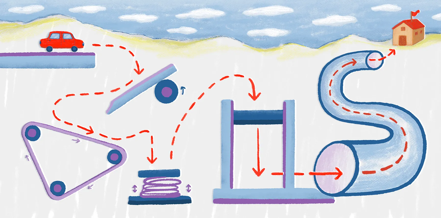
If you’ve ever needed to map multiple locations — whether for deliveries, project planning, or event coordination — you know how fast those addresses start to blur together. Google Maps is great for dropping pins and planning simple routes. But it wasn't built for large-scale map plotting or team collaboration.
Felt solves that problem. It helps you visualize data, manage multiple locations, and work with others in real time.
Read on to learn how to create routes in Google and then take your mapping to the next level with Felt. We’ll show you how to convert a messy address list into an organized, multi-location map you can actually use.
How to map multiple locations using Google Maps
Google Maps is a well-known tool for plotting addresses. It’s fast, free, and a decent starting point for mapping out multiple addresses. Below are two ways to add locations using the Google Maps mobile app or website.
In the Google Maps app
Here’s how to use the Google Maps app to create custom routes:
- Open the app and enter your starting address or coordinates.
- Tap “Directions,” then the three-dot icon, and choose “Add stop.”
- Type in another address, and repeat to add more stops.
- Rearrange the order by dragging the stops into place.
Google Maps will automatically generate the route for you. But the app limits you to 10 stops per route. If you need more, you’ll have to create a second route manually.
On Google Maps using the website
To map multiple locations using the Google Maps website:
- Go to google.com/maps/ and type in your first address.
- Click “Directions” and select “Add destination” to include more addresses.
- Keep adding stops or pins to fill out your map.
- Drag and drop addresses to reorder as needed.
For larger projects, Google lets you import a KML file of locations. The Google Maps website gives you a little more flexibility compared to the app, especially when working with a longer address list.
To learn more, explore how to make a custom Google Map.
When Google Maps isn’t enough
Google Maps is a great platform for personal use. You can easily save addresses, drop pins, and build quick travel routes. But it struggles with scale and collaboration. Teams often need to map hundreds of locations, quickly update routes, and share maps with others. That’s where Google Maps falls short — and where Felt steps in.
Common limitations of Google Maps
These are the common pain points users face when using Google Maps:
- Feature limit: Google Maps restricts the number of features you can add to a custom map. This prevents teams from uploading large data sets or managing high-volume mapping projects.
- Stop limit: The Google Maps app limits you to 10 stops per route, making it frustrating — or even impossible —to manage more complicated trips.
- Manual effort: Adding addresses by hand in Google is time-consuming and prone to errors, particularly when plotting hundreds or thousands of locations.
- Limited customization: Google Maps only offers basic styling options for pins, markers, and routes. So it’s hard to create custom maps for projects or presentations.
- Collaboration gaps: Sharing in Google Maps is limited to static links or embeds, with no real-time editing or teamwork features to choose from.
- Scalability issues: As the number of pins and locations on Google increases, performance slows down, and maps take longer to navigate.
Why teams and enterprises need a more powerful solution
The limitations of Google Maps are major roadblocks for organizations, especially ones that need tools that scale.
Sales teams need to upload spreadsheets, not type addresses manually. Event planners depend on live updates and shared access. Logistics and delivery companies require speed and accuracy when plotting thousands of stops. These requirements go beyond what Google Maps can handle. Felt was built to quickly meet the demands of scale and collaboration.
Felt’s software solves challenges of scale, customization, and collaboration, making it a powerful alternative when your mapping needs go beyond what Google can offer.
Step-by-step: How to create a map with multiple pins with Felt
Mapping with Felt is fast and intuitive. Here’s how to plot directions to multiple locations, customize your map, and collaborate with your team in real time.
Import your data via a spreadsheet
In Google Maps, you must manually add each pin or use a KML import. But Felt lets you directly import bulk addresses from an Excel, CSV, or Google Sheet in seconds. Just drag and drop your file right onto the map canvas, and Felt automatically plots each location as a pin on the map. Felt saves you countless hours of tedious manual entry and makes the mapping process effortless.
To start: Go to Felt and click “Upload Anything” in the toolbar or simply drag and drop your file right onto the map canvas. Once you import or upload, you’ll then be able to start interacting with your data.
Customize your map
Google Maps has limited options for markers, layers, and annotations, making it harder to organize and customize maps. Felt, on the other hand, makes personalizing your map simple and flexible. Felt lets you style pins, add layers, and write annotations. You can color-code locations by category or priority, making your map easier to read.
To customize: Click your layer in the “Legend” to access the style editor. You’ll be able to choose different visualization types, adjust text and captions, and control what viewers see.
Share and collaborate in real time
In Google Maps, you mostly share static content. You can share a link, but real-time collaboration and editing permissions offer little flexibility. With Felt, you can invite teammates to view or edit your map. You can also embed your map on websites, giving your project greater visibility without sacrificing control or ownership.
To Share: Click the “Share” button on the right side of the toolbar. From there, you can set permissions for people to see, comment, or edit your maps.
Start creating your own multi-location maps with Felt
Google Maps is free and works well for creating maps with pins. But it has serious limitations that slow progress on larger projects. Felt, on the other hand, makes mapping faster, scalable, and fully collaborative.
Whether you’re a beginner or an enterprise team, Felt turns messy address lists into clean, interactive maps. Start your next project with Felt and experience the future of mapping today.
FAQ
How do I plot addresses from a spreadsheet?
In Google Maps, you can import locations using a KML file, which can be slow with large datasets. Felt lets you upload spreadsheets directly and instantly plots all addresses as pins, saving you significant time and manual effort.
How many locations can I add to Google Maps?
The Google Maps app limits you to 10 stops per route. The website allows more, but performance drops with scale. For projects with hundreds or thousands of locations, Felt handles bulk imports without any performance issues.
Can I collaborate with others on a map?
Google Maps offers basic sharing capabilities. Felt enables multiple users to view, edit, and annotate maps simultaneously, keeping teamwork seamless and efficient on every project.
How Do I Geocode Addresses on a Map?
Geocoding is ideal for teams that need fast, scalable mapping. Felt handles this for free, making it easy to visualize large datasets without manual input. To geocode addresses, upload your spreadsheet with only addresses or administrative boundaries. Felt automatically converts them into maps with accurate coordinates.
Compare Felt using AI