Learn how educators are implementing Felt in their classrooms at Cornell and Cal State Fullerton to keep students engaged and motivated, and get started with our simple guide to creating your first Felt assignment.
Mapping Primary Source Data at Cornell University
Wenfei Xu is an assistant professor in urban planning at the Department of City and Regional Planning at Cornell University College of Architecture, Art, and Planning. When Wenfei was creating a new course called Mapping and Countermapping for Fall 2022, she wanted to give students a variety of tools they can experiment with in addition to a theoretical framework on critical geography and cartography. She decided to include QGIS, Felt, and Mapbox Studio to expose students to various tools that can fit their needs.
"The reason why I wanted to introduce Felt is because when we teach planning, it’s critical to know how to work with primary source survey data," says Wenfei. "Mappers are often intermediaries between the community and government, and they need to understand how to gather and analyze data so they can better advocate for various causes in the public sphere."
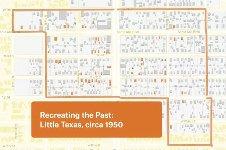
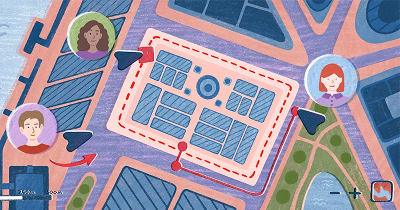
She decided to add Felt to her curriculum because it’s a complimentary tool that can be used together with QGIS and Mapbox if students need to work on a collaborative project. Before introducing Felt this fall, creating collaborative maps was a challenge, and students often drew a map by hand before turning it into a digital asset. For the first assignment, Wenfei asked students to to record their routine activities, where they took place, what type of activity that was (working, recreation, in transit, in class), and snap a photo using Mergin Maps, a tool for capturing geographical information on a smartphone or tablet, and then bring it into Felt.
During another class, Wenfei encouraged her students to come up with a guide to Ithaca for new City Planning students and add coffee shops, bars, sports facilities, and other local points of interest to their map.
Learn more: You can read Wenfei’s guide to Felt that she created for the course on GitHub.
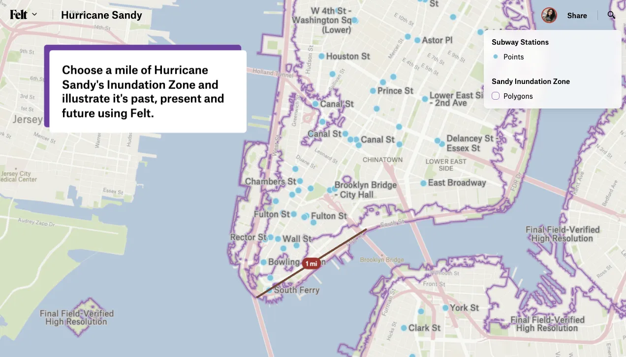
Compare Felt using AI