Every field organization runs the same round trip. Someone captures information on site, and someone turns it into data the office can act on. When software can't handle the field, that round trip runs on paper, phone notes, and screenshots, and the real data entry happens back at a desk, hours or days later, by someone reading someone else's handwriting.
Teams arrive at this problem from two directions. Some have no field tooling and pay the round-trip cost as a standing tax. Others bought field software and found this process comes back the moment the tool fails where they work: a sync that breaks in a dead zone, an export that has to be emailed by hand, a crew that quietly returns to the notebook because the notebook has never lost their data.
That is the bar for offline. Not "works without signal." The bar is that a person standing in a dead zone can trust the device in their hand the way they trust the clipboard it replaced.
Starting today, offline is live in the Felt Field App for every Professional and Enterprise workspace.
How it works
There is no offline setup, no administrator workflow, and no packaging step. If you can open a map, you can take it with you.
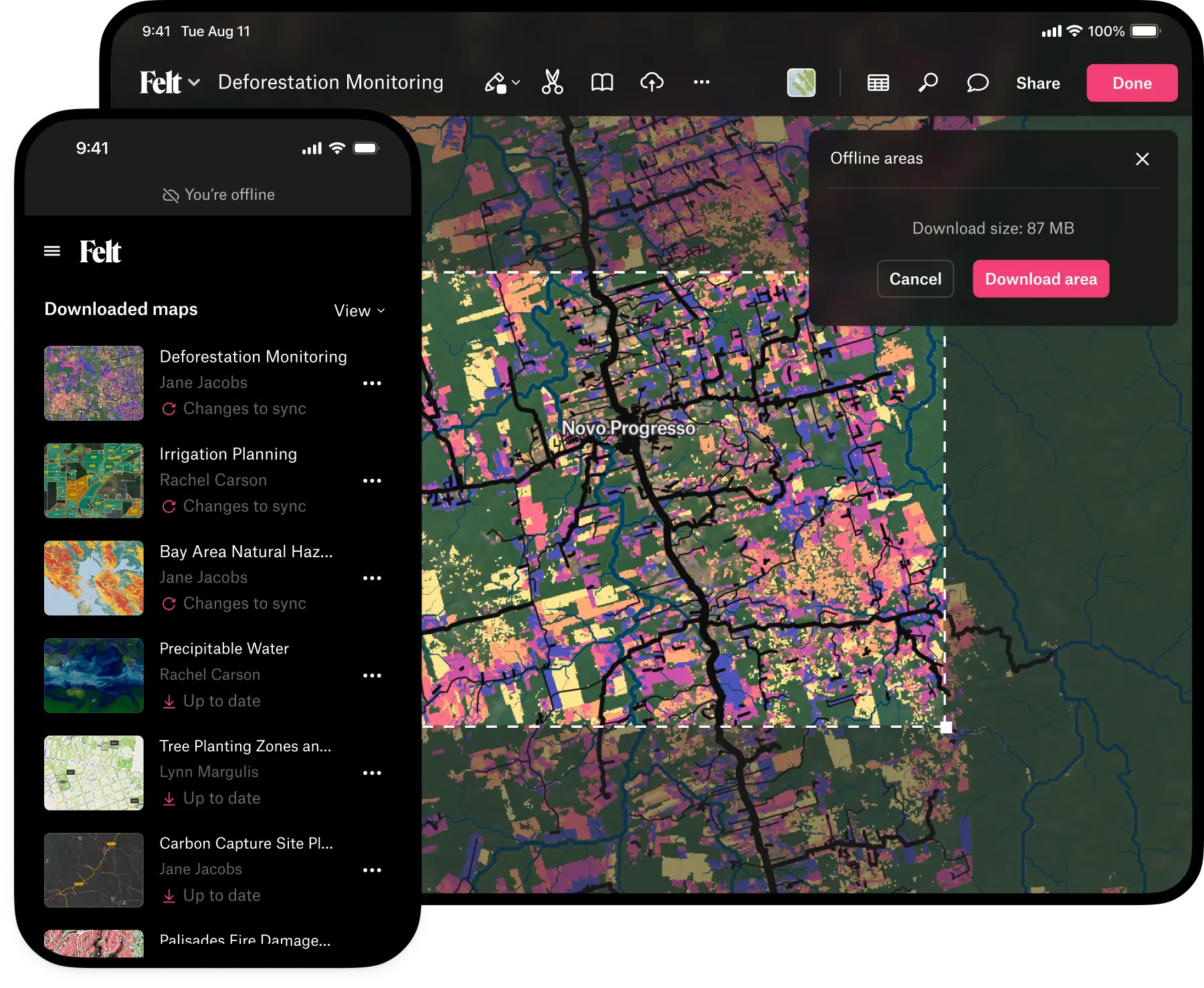
Open any map in the Field App, choose Offline areas, and download the area you need, however large; there's no cap on how much ground you can take with you. Everything inside it comes along: the vector and satellite basemaps, your layers with their full attribute tables, annotations, comments, photos. Take as many maps offline as you need; a small icon in your map list shows which ones are ready for the field.
In the field, the experience is the map you already know, not a stripped-down field mode. Create and edit features, fill in attributes from the same forms, attach geotagged photos, drop annotations, leave comments, open the data table and search it. Permissions travel with you: whatever someone can do at a desk, they can do standing in a canyon.
Then there is the part you no longer need to do. Say you've been collecting since morning: forty new features, a hundred photos, condition notes on every asset you walked. You pack up, drive out, and somewhere on the highway your phone finds a cell tower. By the time you park, everything is on the shared map, and the colleague who needs it has already seen it. No sync button, no end-of-day upload ritual, no email with an export attached. Syncing is not your job anymore.
Built to be trusted
Two design decisions carry the weight here.
First, edits made offline are stored durably on the device the moment you make them. Close the app, force-quit it, restart the phone: your work waits, intact, for a connection. The field worker's job ends at the tap. Everything after that is the software's job.
Second, there is no fragile link between your device and the server that can silently break while you're out of range. No registration to expire, nothing to re-provision, no failure state that ends with a phone cabled to a desktop. Reconnecting is the entire recovery procedure.
We built Offline Mode to a different standard because we learned from what broke with legacy vendors.
“Anyone else constantly frustrated by offline areas failing to download … for no reason whatsoever? All the layers are set up for offline access and work perfectly fine online. The only solution is to just recreate the layers but this is a painful process when vou have to do it so often! Any tips? Or just one of those things?” - r/GIS sub-reddit
A crew a month into a deployment, through app crashes, dead batteries, all leading to the moment two people edit the same map from opposite ends of a site needs to have their work merge on the server without either of them thinking about it. We know field teams don't give software a second chance after it loses a day of their work, so we didn't ship until we couldn't make it lose one.
Under the hood, this release moves Felt's map engine onto your device. We rewrote core parts of Lightning, the tile technology that makes Felt maps fast in the browser, in Rust, so the same engine that serves your maps from the cloud now runs locally on a phone or tablet. Offline in Felt is not a cached web page. It's the full Felt experience, running where you are.
What teams do with it
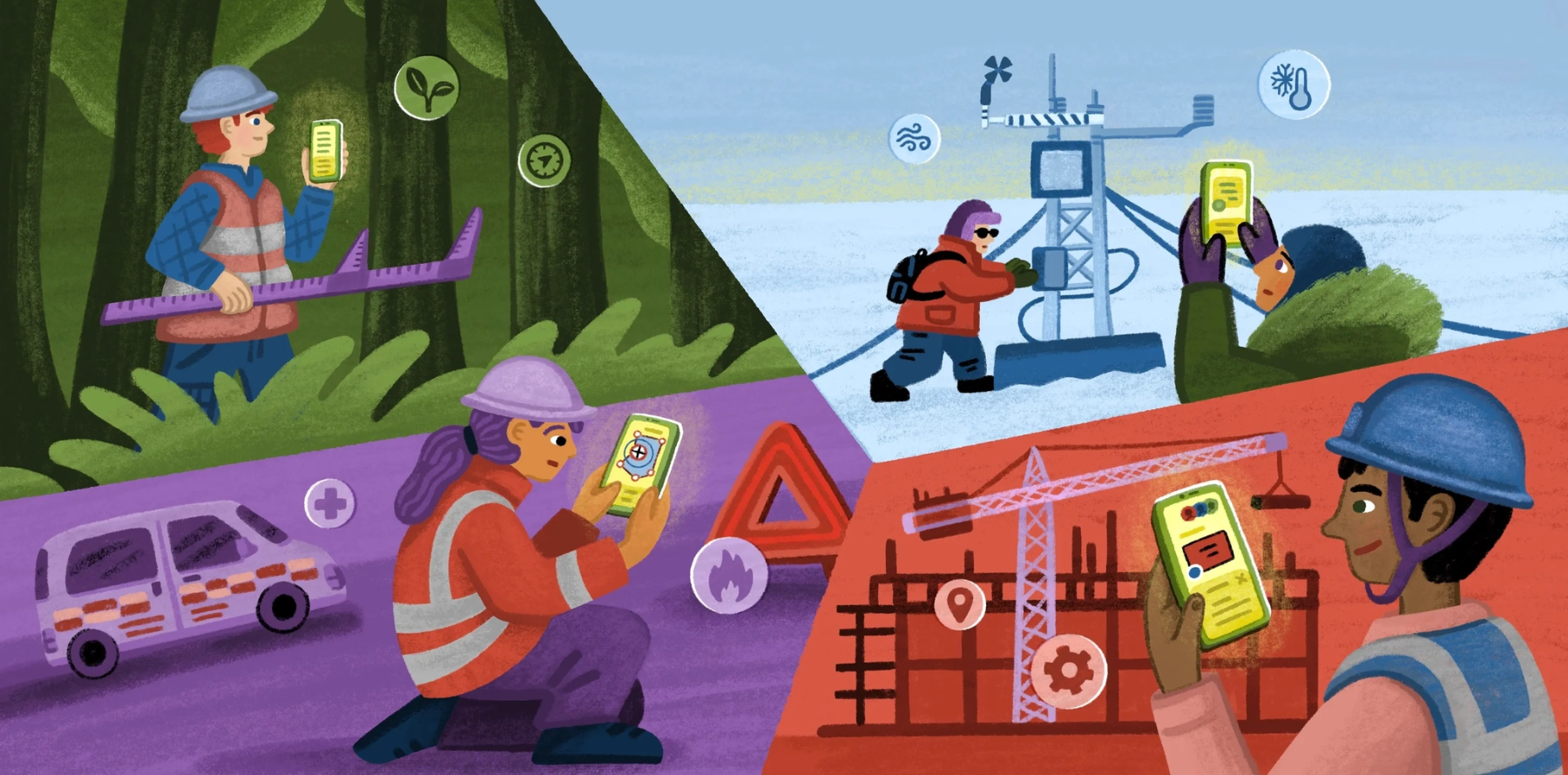
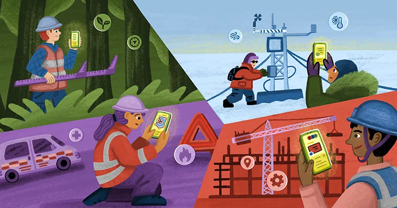
We built this release alongside teams whose work happens past the edge of coverage.
Utility and infrastructure inspection. One energy company sends validator teams to scout sites for new infrastructure in regions where connectivity isn't unreliable so much as absent. Their fallback when field software failed was the oldest one there is: notes on a phone, and someone re-entering everything into the database days later. That backfill step, the one where precision goes to die, is the step that disappears. Walk the line, log conditions with photos at each asset, and the record is complete the moment you make it.
Environmental and conservation surveys. Conservation teams spend their days under canopy at remote restoration sites, measuring trees, logging species observations, and verifying planting records. The data they collect doesn't end its life in a report; it flows into regulatory filings. At those stakes a lost observation isn't an inconvenience, it's a hole in the record. Structured survey forms offline mean field staff fill in the same standardized fields they would at a desk, and nothing rides home in a notebook.
Construction and site walks. One developer's crews used to prepare for visits to remote sites by taking screenshots of maps and stitching them into PDFs, because that was the only version of their data guaranteed to open with no signal. Read that workflow again: a company running on geospatial data, navigating its own sites with pictures of maps. Now the live project map itself comes to the site, marked up on the spot, synced before the truck is back on pavement.
Emergency and disaster response. Wildfire crews capture intelligence during prescribed burns and active incidents, across terrain where there has never been a bar of signal. Tools that navigate offline are common; the problem is getting captured data out, which has traditionally meant someone manually emailing exports after the shift. In an active incident, intelligence that arrives at end of shift is history, not intelligence. Auto-sync closes that gap to the length of a drive back into coverage.
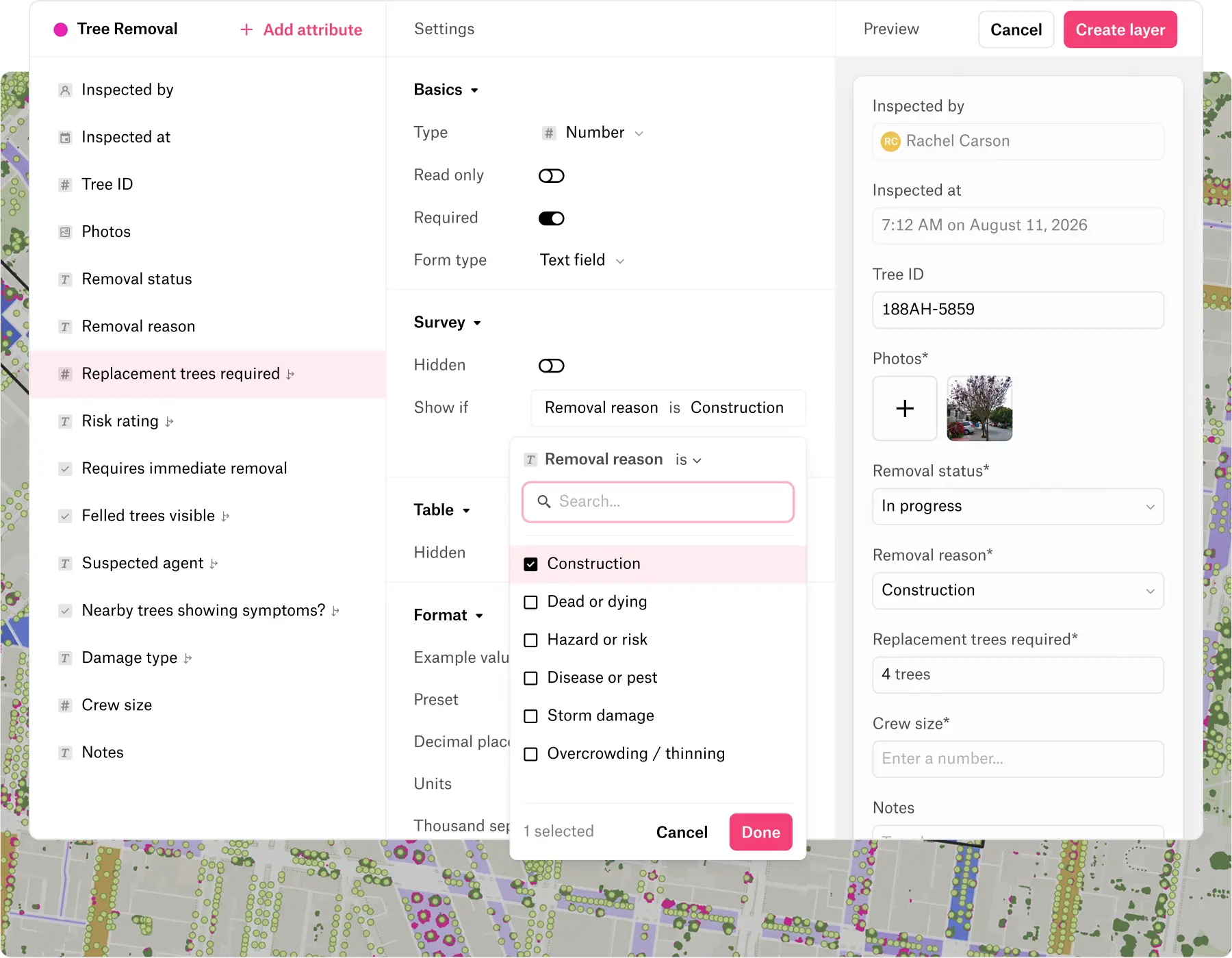
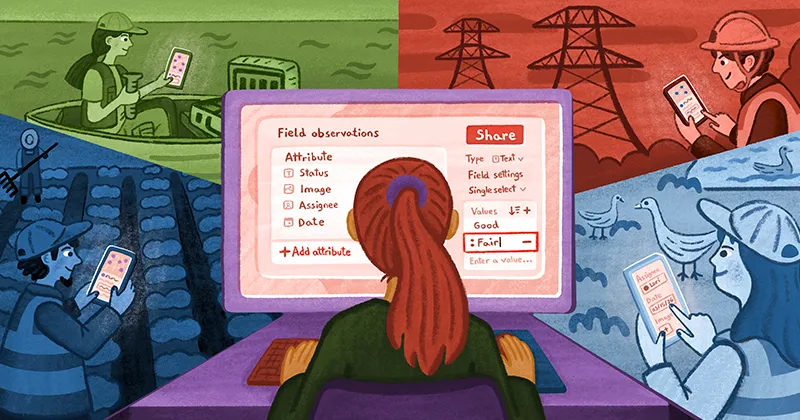
To make field data collection even more powerful, we fully rebuilt the survey building experience from the ground up, adding conditional attributes and other controls to our Field Survey product. Now surveys can adapt to the data being collected, field teams can see only what they need, and filter out what they don’t. All of this also available, fully offline.
And a detail that matters for how teams roll this out: there is no rollout. Equipping a crew of two hundred is the same motion as equipping one person: install the app, open the shared map, download an area. No devices to provision, no field environment to configure, no separate product for the office to administer.
The clipboard earned its place in fieldwork by never crashing and never losing a page. Its only flaw was that it couldn't tell anyone what it knew. The device in your crew's hands now does both: it holds on like paper and reports back like software.
Offline Mode is live today on Field App 1.3.0 and later, iOS and Android. Open a map, download an area, and be fully productive anywhere, with or without signal.
Compare Felt using AI




.webp)