Skip to content
LAT37.8044° NLON122.2711° WX-13611157 mY4551831 mE564166 mN4184363 mE6050014 ftN2120204 ftBRG041.0°041.0°040.6°042.1°ZOOM11.0CRS
← Gallery
Planning

Brussels Densification Study

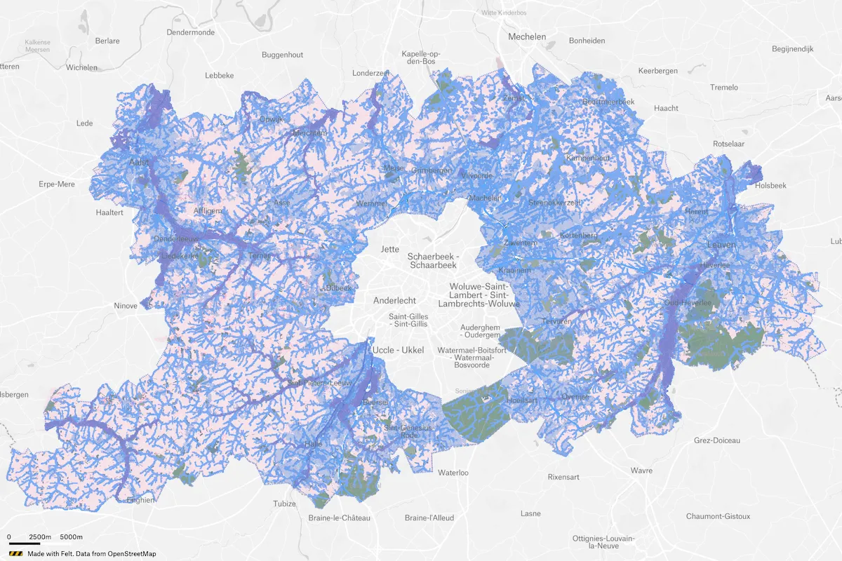
Atelier Romain is a team of urban planners, landscape architects, geographers and architects, who specialize in complex spatial research and design issues from built to open space. They’ve been using Felt to identify areas suitable for densification around Brussels, Belgium.
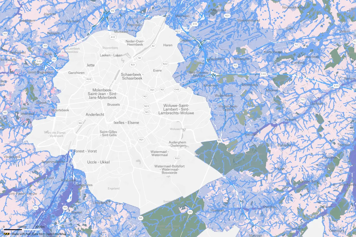
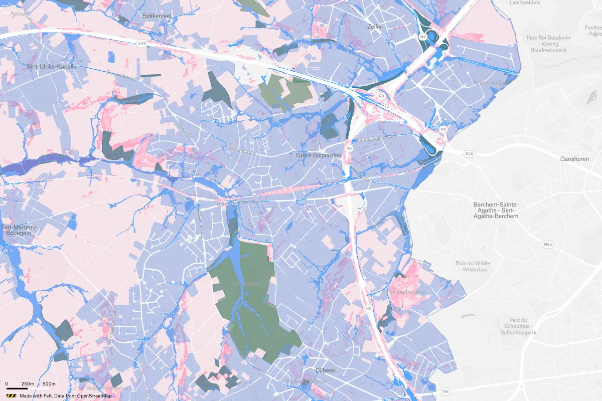
Preview of Brussels Densification Study, an interactive Felt mapExplore this interactive map →
Brussels Densification StudyOpen in Felt →
CartographerAtelier RomainCategoryPlanning

Atelier Romain is a team of urban planners, landscape architects, geographers and architects, who specialize in complex spatial research and design issues from built to open space. They’ve been using Felt to identify areas suitable for densification around Brussels, Belgium.

More views

Try Felt

Bring your data, see it on the map

Connect a database or drop in a file and see your data live on a map in minutes.