

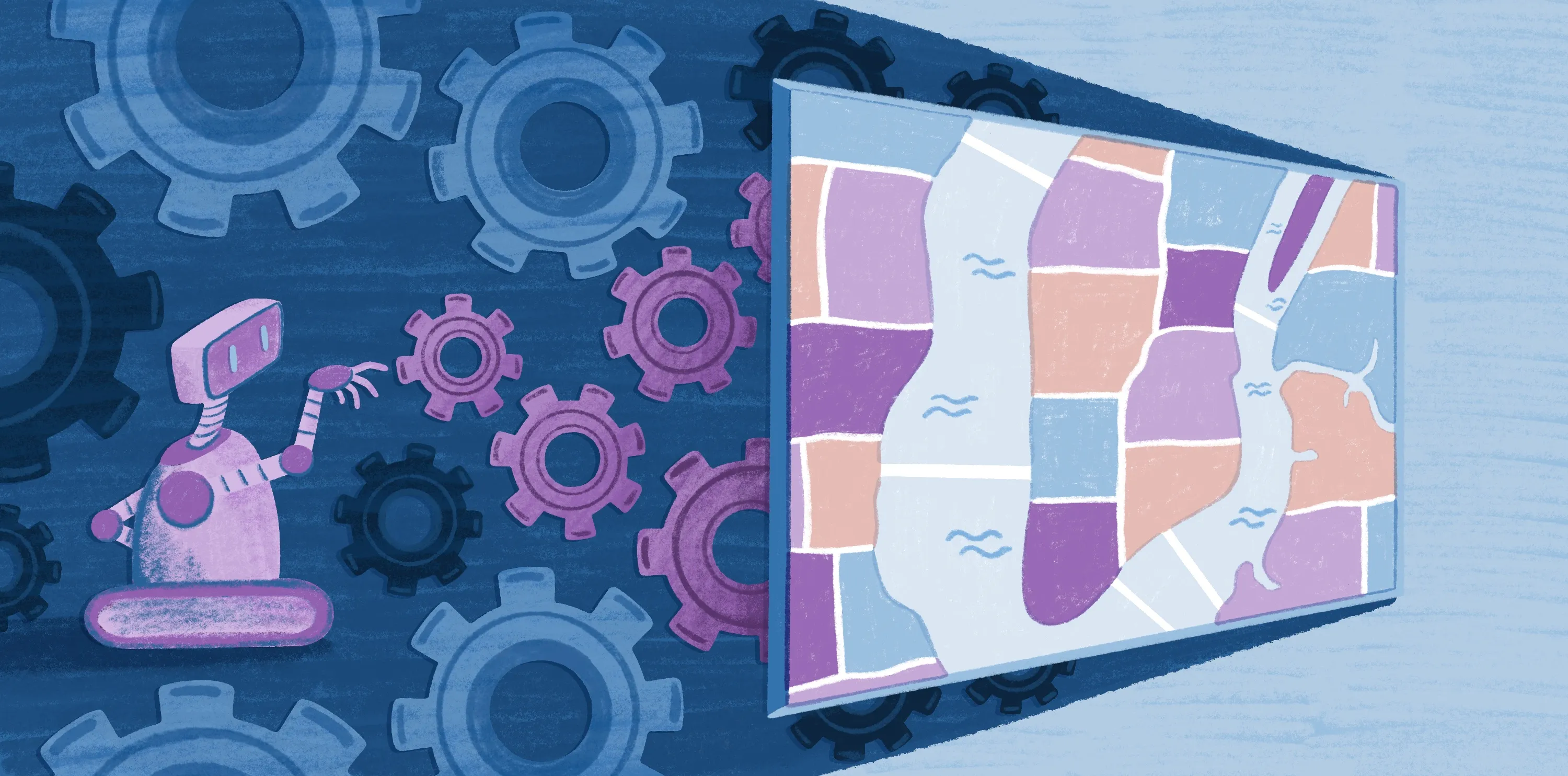
What Is a GIS? A Guide to Geographic Information Systems
A geographic information system (GIS) turns spatial data into insights, using maps to show patterns you can’t see in spreadsheets alone. It captures complex details and visualizes them in an accessible way. Whether you’re optimizing delivery routes, planning cities, or forecasting crops yields, GIS software helps you make smarter decisions.
This guide explores what a GIS is, its possible applications, and the benefits of these advanced tools.
What Is a Geographic Information System? Definition and Core Components
A GIS is a computer-based technology that captures and visualizes geospatial data. It combines interactive maps with descriptive attributes, making it easier to interpret and act on location-based information. A GIS includes five core components:
- Hardware: This is the physical infrastructure — computers and servers — used to operate geographic systems. With modern cloud-based platforms like Felt, traditional on-site installations are no longer required.
- Software: This refers to applications that process, analyze, and display geospatial data, such as Felt, QGIS, and ArcGIS.
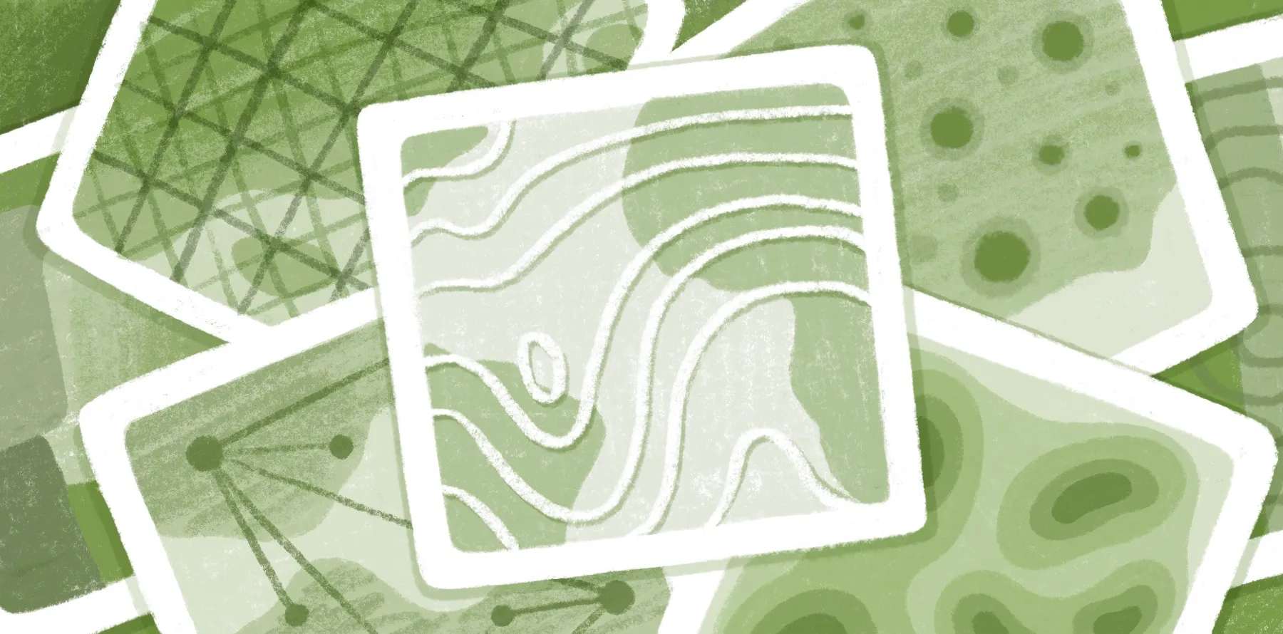
- Data: Geographic systems rely on spatial and attribute data to represent and describe locations. The most common data formats are vector, which uses points, lines, and polygons, and raster, which uses a grid of cells.
- People: These are the users that input and manage data to uncover insights.
- Methods: This covers the techniques applied to ensure data is accurate and actionable.
These systems are used in almost every industry, and there are specific types of GIS maps for different applications, from displaying traffic accident hotspots to tracking shifts in population density.
How Does a GIS Work?
While a GIS may seem complex, the way it works is actually quite straightforward. Most GIS workflows follow these steps.
Data sourcing
GIS software pulls information from multiple geospatial file formats, including Shapefile, GeoJSON, TIFF, and GeoPackage. A GIS can also retrieve data from global positioning systems (GPS) and existing geospatial databases. For instance, a database with field notes might include details like a building’s age and condition.
Data management
A GIS organizes geographic data into layers, so teams can filter and compare certain points. Sort details by broad categories, like buildings and rivers, or get specific and filter thousands of retail stores by revenue and location. Cloud-based GIS software like Felt refreshes data in real-time, giving teams access to the latest information.
Data visualization and mapping
Mapping is where GIS software really shines. The software transforms thousands of detailed data points into intuitive, interactive visuals anyone can understand. Examine trends with heat maps, represent data with memorable colors and symbols, and use cartography methods like legends and scale bars to give context.
Spatial analysis tools
A GIS helps you understand the spatial relationships and patterns of geographic features. Analysts can overlay historic datasets, run proximity analyses, and compare demographics against competitor locations. These insights often surface trends that aren’t obvious at a glance, like identifying the best site for a new retail store based on traffic flow and customer density.
Sharing and reporting
Modern GIS tools integrate with your tech stack, so you can instantly share maps and reports. Felt lets you effortlessly add maps to Power BI, Tableau, and SharePoint for a smooth, centralized experience. It also encourages real-time collaboration — teammates can edit and comment on web or mobile, wherever they’re working.
What Are the Applications of Geographic Information Systems?
From agriculture to real estate, GIS enables smarter decision-making across industries. Here are key use cases that explore how to use GIS mapping.
Identifying problems
GIS software captures real-world information and lets you study it for data-driven problem solving. This helps teams pinpoint specific issues and evaluate solutions without guesswork. For example, agricultural companies can examine soil moisture to optimize irrigation, improving crop yields while reducing environmental impact.
Analyzing trends
Historic data and spatial analysis highlight trends over time, supporting proactive decisions and long-term planning. For instance, urban planners use GIS to track city growth patterns, ensuring roads, water systems, and energy grids are built to meet future demand.
Managing and allocating resources
GIS allows you to distribute resources efficiently by pairing real geospatial data with intuitive analysis. Teams can plan optimized delivery routes that use less fuel and analyze population density to find the best spot for new hospitals and schools. With just a few clicks, these tools help organizations reduce waste and maximize output.
Assessing risks
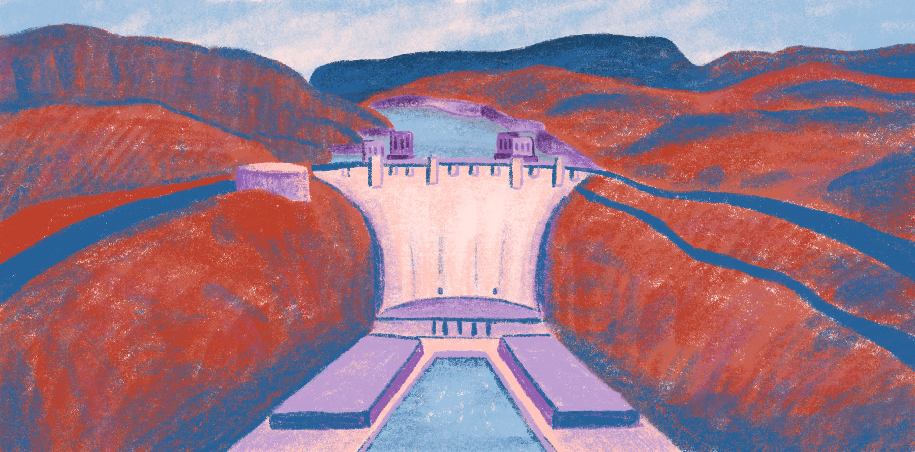
Risk assessments are more precise with access to accurate data. You can model the potential impact of floods, wildfires, and chemical spills, including their spatial extent and financial costs. The software also provides environmental insights that guide mitigation strategies, protecting communities and maintaining regulatory compliance.
These GIS mapping examples from different sectors showcase the versatility of these systems:
- Environment: GIS software identifies sensitive ecosystems and habitats to inform development projects. Teams can monitor projects as they progress, tracking pollutants and water quality to encourage sustainable practices.
- Agriculture: Farmers use GIS to examine land use patterns and determine the best planting locations. They can also look at soil maps to optimize irrigation and fertilization, enhancing crop yield and quality.
- Marketing: Marketers apply GIS to segment customers based on specific locations, such as towns or even city blocks. This precise targeting helps teams improve ad performance, enhance return on investment, and lower campaign risk.
- Public safety: GIS powers faster emergency response and crime prevention. Agencies can identify crime hotspots, strategically position emergency infrastructure, and deploy patrols more effectively.
- Real estate: Developers analyze factors like proximity to amenities, traffic conditions, and demographic trends to pinpoint high-growth areas. GIS also guides property decisions to better tailor projects to their ideal buyers.
Felt makes all this possible. As the only cloud-based GIS tool on the market, it lets everyone on your team access and share insights no matter where they’re based.
The Benefits of GIS and Mapping
Straightforward maps with real environmental data offer clearer insights and streamlined workflows. Here are the main advantages of using GIS software.
Improved decision-making
GIS tools eliminate guesswork, letting teams spot patterns, trends, and risks with ease. Accurate, real-time data offers a holistic view of projects, leading to more confident and informed decision-making.
Greater efficiency and reduced costs
By streamlining resource use, GIS software lowers costs and speeds up project time. Centralizing data and automating analysis reduces repetitive tasks, saving teams hours of manual work and letting them anticipate issues earlier.
Seamless integration
GIS software consolidates data from multiple sources, including satellite imagery and government records. This prevents silos and creates a single, accessible source of truth. Felt allows teams to upload any spatial data and seamlessly connect to any cloud source, including Microsoft Azure, Amazon S3, Databricks, Snowflake, BigQuery, and Esri.
Dynamic visualization
Interactive maps make even the most complex datasets intuitive and easy to understand. Teams and stakeholders can filter, compare, and interpret information in real time, creating shared understanding that reduces miscommunication and accelerates decision-making.
Scalable growth
GIS tools adapt to projects of any size, from small, local initiatives to global enterprise strategies. They scale with your business, helping you stay adaptable as your company grows.
Experience the Future of GIS With Felt
From detailed risk assessment to large-scale planning, GIS turns raw data into actionable insights that strengthen any strategy. Felt is leading the way, transforming GIS maps into cloud-based, collaborative dashboards that anyone can understand. The platform helps teams create and edit interactive maps without needing advanced technical skills, enhancing communication and streamlining workflows. Upload any file and see your data come to life.
Visualize information and boost decision-making with Felt.
Compare Felt using AI


.jpg)
.jpg)
.jpg)
.png)
