What is geospatial technology? Tools transforming business operations
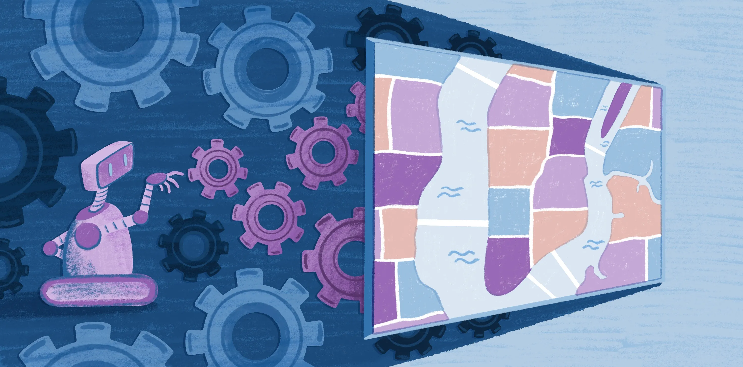
Geospatial technology is reshaping how organizations visualize and interpret the world. These tools have a variety of applications, from coordinating deliveries and managing infrastructure to predicting environmental changes. They’re helping businesses across industries make smarter, data-driven decisions.
Explore what geospatial technology is, its key benefits, and how tools like Felt help organizations unlock the full potential of location intelligence.
Geospatial solutions definition: Core data types
Geospatial technology encompasses a suite of tools and techniques that collect, analyze, and visualize data linked to specific locations. Unlike general spatial concepts that describe relationships between objects in space, geospatial information is tied to precise geographic coordinates. Geospatial data is the foundation for strategic analysis and decision-making, allowing companies to uncover patterns, forecast trends, and track changes over time.
Below are three types of data that underpin most geospatial technologies.
Raster data
Raster data represents the Earth’s surface as a grid of pixels, where every cell holds a value for a specific attribute, such as temperature, elevation, or land cover. This data is ideal for modeling continuous surfaces and is widely used in satellite imagery and aerial photography.
Layering and analyzing raster datasets can reveal patterns and insights not immediately visible to the human eye. Within geospatial solutions, raster data supports a range of applications from agricultural monitoring to climate impact assessments. Common raster formats include GeoTIFFs, JPEG 2000, and PNG, all capable of storing rich visual and analytical information.
Vector data
Vector data describes geographic features using points, lines, and polygons, making it well-suited for mapping roads and infrastructure. Unlike raster data, which captures continuous information, vector data provides discrete, highly accurate representations of physical features.
Popular vector formats include GeoJSON, Shapefile, KML, and GPX — all widely supported by mapping platforms like Felt, which accepts raster and vector file formats up to 5GB. Geospatial tools rely on vector data for tasks like route optimization, asset management, and urban planning. Its precision and flexibility make it one of the most fundamental building blocks of geospatial analysis.
Real-time data
Real-time geospatial data captures information that changes moment by moment, such as traffic conditions, weather systems, or sensor readings from connected devices. This dynamic data helps organizations react to events as they happen, improving situational awareness and operational efficiency.
With modern geospatial platforms, real-time data streams are now seamlessly integrated into mapping and analytics to deliver up-to-the-minute insights. These capabilities support critical applications like emergency response and infrastructure monitoring.
When real-time geospatial data is combined with raster and vector layers, you gain a comprehensive view of both current conditions and long-term trends.
Key components of geospatial technology
To better understand how geospatial technology works, review the following key components and how they interact.
Geographic information systems
Geographic information systems (GISs) are at the core of most geospatial applications. A GIS manages spatial information by layering raster, vector, and real-time data to identify patterns and relationships. Organizations use GIS software in a wide variety of ways, from urban planning to natural resource management, transforming raw data into actionable intelligence.
Felt is redefining how teams work with GIS by turning traditional maps into cloud-based, interactive dashboards anyone can use and understand. The platform helps teams build and edit maps without the need for technical skills or advanced expertise.
Remote sensing
Remote sensing (RS) uses satellites, drones, and aircraft to collect data about the Earth’s surface. This type of geospatial technology captures imagery and measurements that monitor land use and environmental changes like natural disasters.
RS data integrates with GIS and other geospatial tools so organizations can track trends and make informed, timely decisions. By extending observation beyond ground-level perspectives, RS broadens the scope and precision of geospatial analysis.
Global Positioning System
The global positioning system (GPS) delivers exact location coordinates for people, vehicles, and infrastructure in real time. Beyond navigation, GPS supports asset tracking and route optimization, powering many logistics and transportation solutions. When combined with GIS and remote sensing, GPS links spatial data directly to real-world locations, enabling more accurate mapping and deeper contextual understanding.
A single, unified workflow
Geospatial technology integrates GIS, RS, and GPS into one unified workflow. Remote sensing captures raw data, GPS provides positional accuracy, and GIS analyzes and visualizes the results. Together, these systems power geospatial services like Felt that convert insights into stories.
What is geospatial technology used for? Applications across industries
The following geospatial technology examples demonstrate how these tools create value and solve complex challenges across a wide range of sectors.
Environmental science
In environmental science, geospatial technology supports efforts to monitor climate change and manage natural resources. RS and GIS help scientists detect deforestation, map wetlands, and predict the impact of natural disasters. Precise geospatial data also informs conservation strategies and policy decisions aimed at protecting the planet.
Agriculture
Farmers and agribusinesses use geospatial technology to boost crop yield and optimize resource allocation. Satellite imagery and sensor data reveal soil health, irrigation needs, and potential pest activity. By mapping these variables at high resolution, geospatial solutions identify precisely where to apply water and fertilizer, reducing waste and increasing output.
Business and logistics
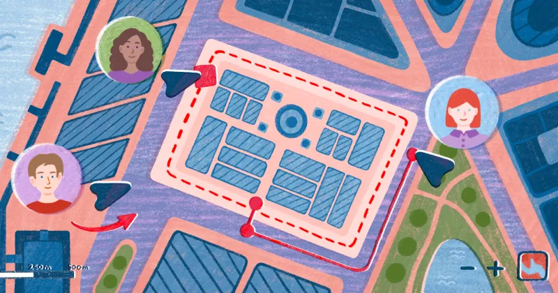
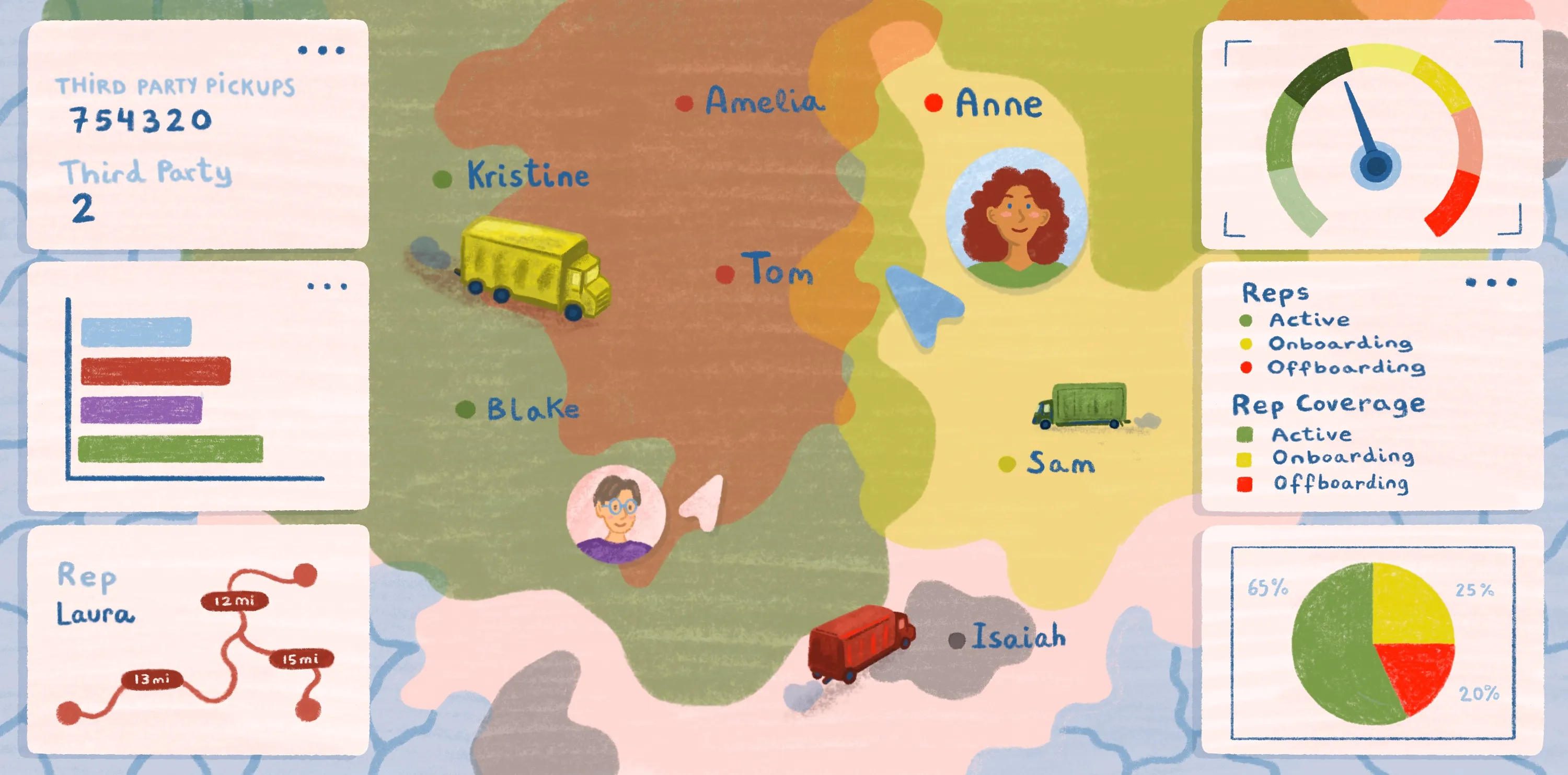
Companies leverage geospatial tools to streamline operations, refine delivery routes, and identify optimal sites for expansion. Using GIS and real-time data, businesses can find the best locations for warehouses or retail outlets while improving supply chain visibility. Geospatial solutions analyze traffic patterns and customer distribution to reduce travel time, prevent delays, and cut fuel costs. By visualizing operations, teams can allocate resources more efficiently and deliver a faster, more reliable service.
Public health
Public health organizations depend on geospatial technology to monitor disease outbreaks, plan vaccination campaigns, and allocate medical resources. Mapping tools can identify high-risk areas and uncover patterns in population health data. By integrating GIS with real-time information, public health teams can respond faster and make data-driven decisions during health crises.
Defense and disaster response
In defense and disaster response, geospatial tools provide vital situational awareness, helping teams plot evacuation routes and assess damage following natural disasters. Combining satellite imagery, GPS, and GIS enables coordinated response and recovery efforts that save lives.
Real estate
Geospatial technology in real estate supports site selection, property valuation, and market analysis. GIS and spatial data allow developers and investors to evaluate demographic trends and accessibility, guiding decisions on where to build. These insights help real estate professionals reduce risk and maximize ROI.
Benefits of geospatial technology
Geospatial services, meaning the practical application of location-based insights into daily operations, bring a wide range of benefits across industries. Here’s a breakdown.
Enhanced decision-making
Accurate spatial insights inform strategic planning and operational decisions. By layering datasets, such as demographic trends, environmental conditions, and infrastructure maps, organizations can visualize patterns that aren’t evident in spreadsheets or reports. Access to both real-time and historical data empowers teams to make timely, thoughtful decisions that positively impact outcomes.
Improved efficiency and cost savings
Geospatial solutions let companies refine processes and reduce expenses. Route optimization algorithms use live traffic data and delivery points to minimize fuel consumption and speed up deliveries, while asset-tracking systems monitor vehicle locations and equipment utilization in real time. These insights highlight inefficiencies and cost-saving opportunities that improve productivity and profitability.
Better data integration and visualization
Geospatial technology lets organizations unify diverse datasets into cohesive visualizations. GIS platforms integrate structured and unstructured data from sensors, satellite imagery, and business systems into dashboards that reveal spatial relationships at a glance. This visual context simplifies complex analysis, making insights easier to interpret and enabling smoother collaboration across teams and stakeholders. By translating raw data into clear narratives, geospatial solutions enhance understanding and accelerate decision-making.
Scalability and accessibility
Modern, cloud-native geospatial platforms like Felt make location-based data accessible to organizations of any size. With flexible, browser-based tools, teams can scale projects quickly without heavy infrastructure or software costs. This accessibility allows businesses to expand their use of geospatial technology across new initiatives, regions, and operational areas with ease.
Experience geospatial technology with Felt
Geospatial technology has become essential for decision-making across industries, from logistics to environmental science, but traditional mapping tools can be complex and inflexible. Felt is different, offering a browser-based, AI-native platform that makes working with geospatial data intuitive for all skill levels.
Felt helps users stream data at scale, visualize changes instantly, and collaborate in real time, all without the need for complicated software or specialized setups. By simplifying geospatial workflows, Felt empowers organizations to focus on insights rather than battling technical hurdles.
Try Felt today and see how it can deliver a seamless, connected geospatial experience.
Compare Felt using AI


.webp)