CartographerData MidsouthCategoryCities and government
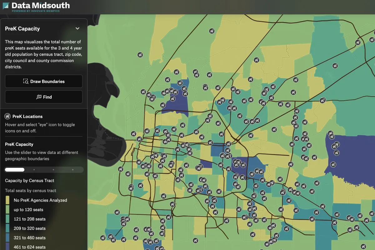
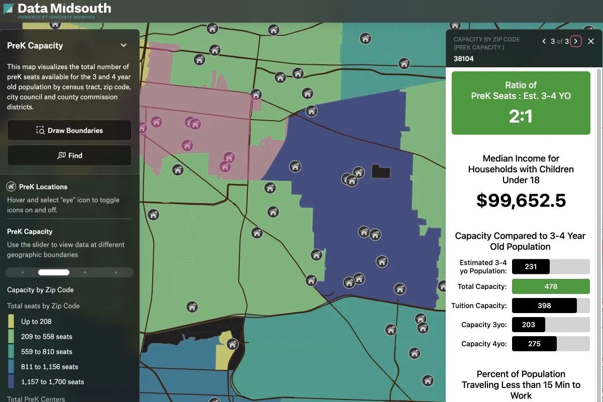
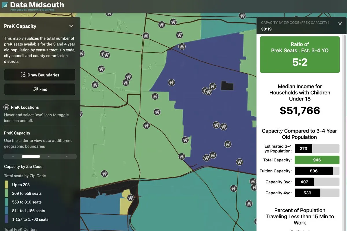
This map analysis was created by Innovate Memphis on behalf of First 8 Memphis (F8M), a non-profit organization advocating for community investments in early care and education. This analysis provides a comprehensive visual analysis of Pre-K access at both the census tract and zip code levels. The goal is to assess the availability of programs for the 3- and 4-year-old population. Pre-K access data is visualized alongside funding sources and socioeconomic factors. This helps F8M identify priority areas for increased investment and program expansion. The aim is to ensure effective resource allocation for early childhood education and family services across Memphis and Shelby County.