
Property mapping software: Top picks for analyzing property data
Real estate professionals work with large volumes of location-based data every day, from property boundaries and ownership records to zoning rules and market conditions. Managing this information can be complex, but the right tools bring structure and clarity to the process.
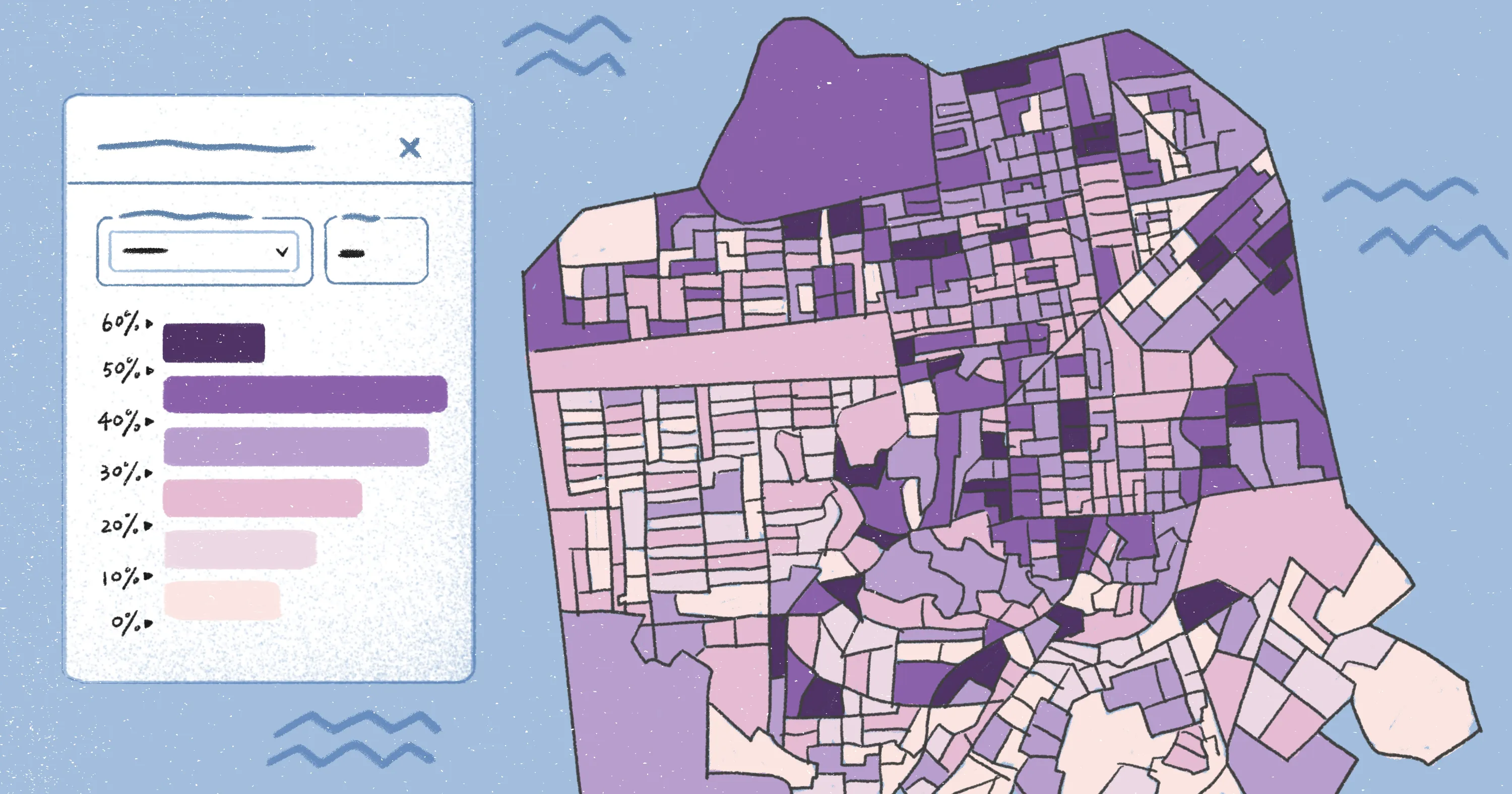
Property mapping software and geographic information systems (GIS) convert raw data into geographic context that supports acquisitions, development, and investment strategies. With advanced mapping software, teams can structure and analyze spatial data to spot land use patterns and make better planning decisions.
Let’s look closer at the key features of property mapping systems, including where the data comes from and common use cases in real estate workflows.
What is property mapping software?
Property mapping software combines parcel boundaries, ownership history, land use, and demographic data into one platform. By layering this information onto a parcel map, land surveyors can understand how individual properties relate to their surrounding area.
Unlike static property maps, modern real estate mapping tools use GIS to visualize how physical boundaries and market conditions interact in real time. Here’s how modern mapping tools strengthen core parts of real estate analysis.
Better visibility
Mapping software lets you view property lines and zoning layers together to understand local context. This visibility uncovers patterns that usually get trapped in spreadsheets. With software, teams can spot land use trends, gaps in development, and potential conflicts early in the process.
Faster decision-making
When spatial data lives in one system, teams spend less time gathering information and more time analyzing it. Property mapping software centralizes parcels in a unified view. This speeds up analysis and reduces workflow friction so decision-makers can evaluate opportunities more efficiently.
Reduced risk
When teams determine property lines early, it removes a lot of the guesswork from investment decisions. Clear boundaries help teams avoid disputes and delays. They also highlight overlapping claims that may affect development timelines.
Improved collaboration
GIS mapping software helps analysts, planners, and investment teams work from the same maps and outputs. This makes collaboration easier and keeps discussions centered on consistent parcel data.
What data does property mapping software use?
Mapping software for real estate pulls multiple data sets into a single parcel map inside a GIS. That way, teams can understand a site in the context of its surroundings.
Most property data comes from:
- Parcel boundaries and cadastral data that define property lines.
- Ownership and tax records that show who owns each parcel and its assessed value.
- Zoning and land use data that explain what can be built or developed on a site.
- Satellite imagery and basemaps that provide real-world visual context.
- Demographic and market data that highlight population trends and demand.
- Infrastructure data like roads and utilities that affects access and feasibility.
By integrating these data sets as overlays in GIS software, teams get a complete picture of a location that static maps can’t deliver.
Types of property mapping software: Top picks and features
Some property mapping tools specialize in quick visualization, while others enable deeper analysis and data layering. The right choice depends on your workflow and data requirements.
Web-based GIS platforms
Web-based GIS platforms layer complex data sets like tax assessor records and ownership history. This lets teams run high-level spatial analysis and connect property insights across large or diverse portfolios. Surveyors use web GIS software to compare properties and neighborhoods, evaluate proximity to infrastructure, and track asset performance.
Best for:
- Site selection and acquisition analysis
- Managing real estate portfolios
Top picks:
- Felt: A modern web GIS platform designed for real estate and planning workflows. It connects to live data sources and supports spatial analysis right in the browser. Teams use Felt to move from raw property data to decision-making without relying on desktop tools.
- ArcGIS Online: A popular GIS platform for building and sharing maps and applications. ArcGIS has strong analytical capabilities and data layering, but it can be tricky for new users to set up and manage long term.
Parcel and property line tools
Property line tools focus on access to boundaries and ownership details like address and parcel number. They pull data from surveys, plat maps, and tax assessor records to show parcel-level information in a user-friendly interface. These tools are simpler than GIS platforms and useful for fast lookups and verifying site details. A broker might use a parcel viewer to confirm lot size before reaching out to a seller.
Best for:
- Identifying property lines and parcel boundaries
- Due diligence during early-stage research
Top picks:
- LandGlide: A mobile parcel viewer that provides instant access to property lines, ownership, and tax data in the field. LandGlide works well for on-site checks but offers limited analytical depth compared to GIS software.
- Regrid: A property data platform that delivers parcel and ownership information through maps and APIs. Regrid is a good option for data access and integration, but it doesn’t offer advanced GIS-level analysis.
Web mapping tools
Web mapping tools sit between GIS platforms and parcel viewers. They let users explore property maps, overlay boundary and land use data, and share maps across teams. However, they don’t enable deep spatial analysis or complex modeling. Development teams often use web mapping tools to review property boundaries and align internal stakeholders without requiring GIS expertise.
Best for:
- Sharing maps with teams and stakeholders
- Light analysis of land use
Top picks:
- Google My Maps: A basic web mapping tool for creating and sharing custom maps with pins, layers, and data overlays. Google My Maps is easy to use and great for collaboration, but it lacks sophisticated spatial analysis features.
- Mapbox Studio: A web-based mapping software to design online maps with flexible styling and data layers. Mapbox Studio is powerful for visualization and developer integration, but it’s not built for deep property analysis.
How to choose the best property mapping software
Choosing the right mapping software takes more than comparing feature lists. Teams should consider how well a platform fits their workflows and day-to-day decision-making before they commit to a tool. Here’s what to look for in your search:
- Layering and visualization: Strong platforms let users stack multiple data layers on a single parcel map to spot patterns that don’t appear in isolated files.
- Spatial analysis capabilities: Advanced tools use GIS functionality to analyze relationships between parcels, zoning, and surrounding infrastructure.
- Dashboards and reporting: Many mapping platforms have dashboards that summarize insights from parcel and property data, helping you track trends and compare sites.
- Data integration and accuracy: The best software pulls data from tax records, surveys, and cadastral sources to give you accurate ownership details.
- Scalability and performance: Top systems handle large data sets without slowing down, even when users load rich GIS layers or thousands of parcels at once.
- Ease of use and accessibility: Intuitive tools make it easy to navigate parcel viewers and property maps, even with minimal training. Cloud-based platforms also support real-time collaboration from anywhere.
Common challenges in property mapping
Property mapping gets complicated when data is spread across disconnected systems or contains outdated information. This can stall analysis and make it harder for teams to act on location-based insights. Here are the main issues that limit accuracy and reliability.
Data fragmentation
Many teams store property data in separate systems, which prevents a complete view of a site. When tax records and zoning databases don’t align, teams spend extra time reconciling inconsistencies and filling in these gaps.
Outdated data
Some surveyors rely on records that don’t reflect real-world changes in ownership, boundaries, or land use. If parcel data is inaccurate, decisions become less reliable and may require constant verification or fact checking.
Complex tools
Traditional GIS software can require significant setup and scripting overhead. Felt AI lets teams generate maps, run spatial analysis, and create interactive attribute popups from a natural language prompt -- one example of how the real estate industry is shifting toward live, interactive mapping platforms.
Explore how Felt transforms online mapping
Better property decisions start with tools that help teams move from information to insight. Felt is an enterprise-ready platform that links directly to live data sources like Snowflake, BigQuery, and Postgres, ensuring teams always work with the latest property details.
Felt users can visualize, query, and share data in a cloud-native environment built for both field collection and office analysis. Many real estate teams use Felt for shared maps and dashboards that keep work aligned in real time. The platform also supports enterprise security with SSO, SAML, and private cloud options so it’s easier to manage sensitive data at scale.
Felt AI helps teams query spatial datasets using natural language, removing the need to write SQL from scratch. This removes a key technical barrier and speeds up spatial analysis — especially compared to ArcGIS or QGIS, which call for scripting and complex model builders.
See for yourself how Felt streamlines property mapping, and browse real-world examples in the real estate map gallery.
FAQ
What are the best real estate mapping tools?
The best real estate mapping tools include web-based GIS platforms like Felt and ArcGIS Online, along with simpler parcel viewers and web mapping apps. The right choice depends on whether you need advanced spatial analysis or quick property lookups.
What are the best apps to look up property owners?
Apps like LandGlide and Regrid are effective for property research, helping users identify parcel details and approximate boundaries. They pull from public data sources and work well for early due diligence, though property lines can vary in accuracy due to GIS limitations.
What is the difference between static maps and interactive property maps?
Static maps show fixed information, while interactive mapping allows you to explore parcels, layers, and property lines in real time. Interactive maps also support spatial analysis, which is why they’re frequently used in planning and development decisions.
Compare Felt using AI


.png)